Wintry and Storm force winds
22nd March 2024
Storm force winds and snow showers presented a very thin dusting of snow in the morning but accumulations gradually build during the day especially in the higher plateau areas around Ben Avon, Bheinn a Bhuirid and Lochnagar where the high plateaus provide areas where snow will lie and there’s a good fetch for the wind to strip snow from and deposit into Coires. More snow tomorrow with some uncertainty re amounts but could be up 20 cm in places!
An early dusting on Glas Maol with the old snow fringing coires and ridges very hard and icy.

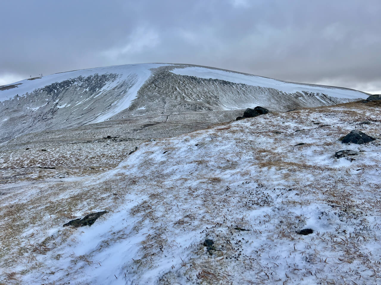
More snow accumulation on the higher plateau areas such as the slopes of Ben Avon
Comments on this post
Got something to say? Leave a comment