Last post…
13th April 2024
This is the last post for the 23/24 season. We’ve lost a lot of snow in the past 48 hours, especially on the South-East through South to West aspects. The sun has some strength to it now so any slope that catches the sun’s rays has stripped out pretty quickly. The high North and East facing corries still have snow in them and this will become firm and possibly icy by tomorrow as the freezing level drops overnight. We have a modest amount of snow forecast which is going to drift on the gale force winds so there is potential for windslab build up. Where it forms over old snow-ice it won’t be particularly well bonded so it’s best avoided. There’s a bit more snow forecast for our Northern boundary mountains, so have a quick look at the Northern Cairngorms report if you are heading into steeper terrain tomorrow.
Temperatures are set to stay on the cool side for the next 48 hours with some snow in the mix – so it’s not quite over yet!
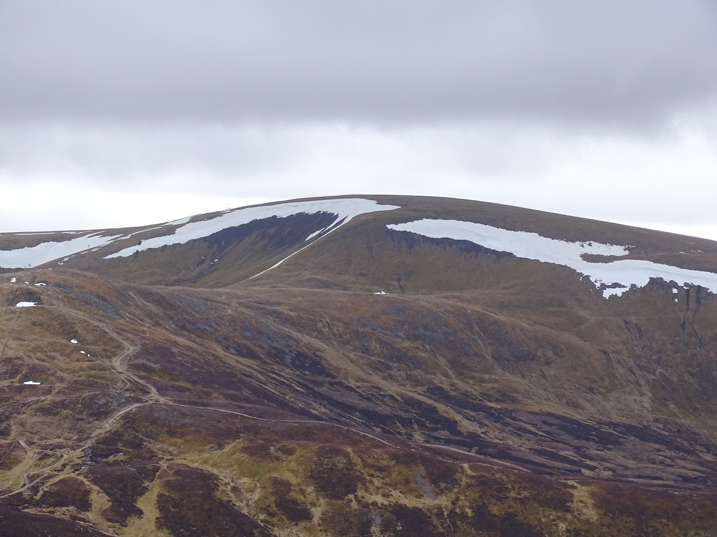
Significant snow loss in the past 48 hours. Stripped right back to the old snow in shady locations. Glas Maol at 1068m.
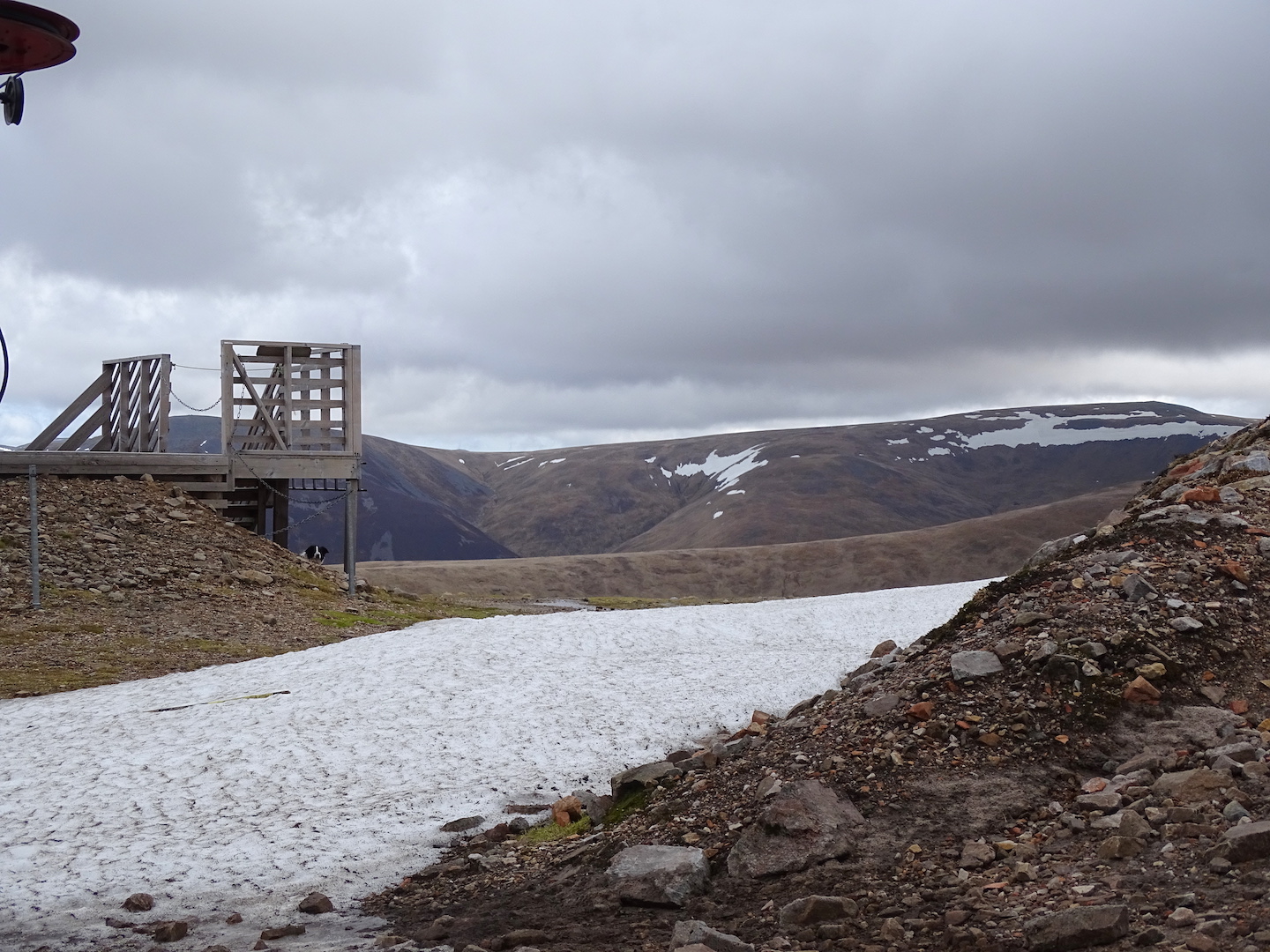
Limited snow patches at 900m.
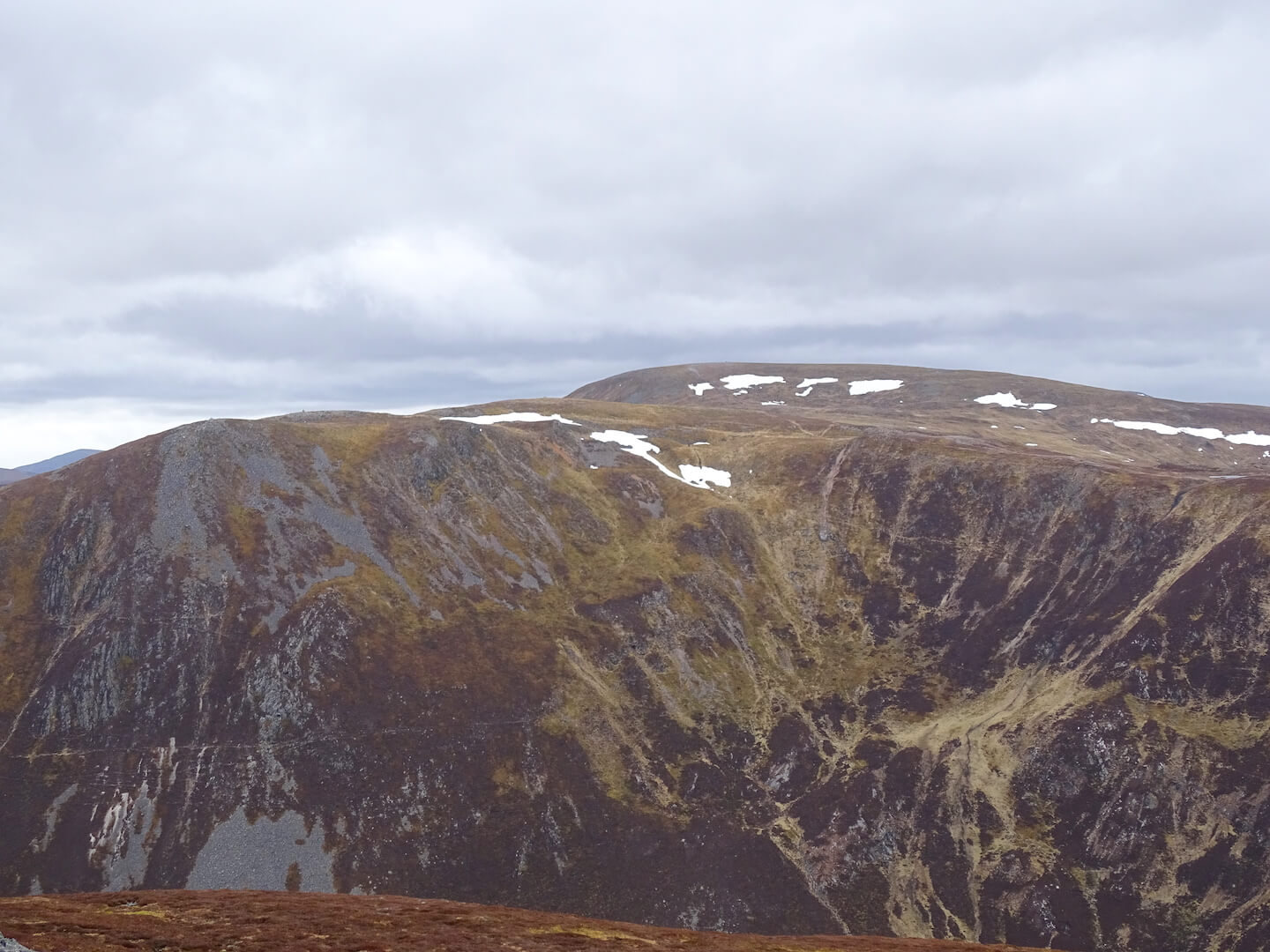
Carn nan Sac (920m) and Carn a’Gheoidh (975m)
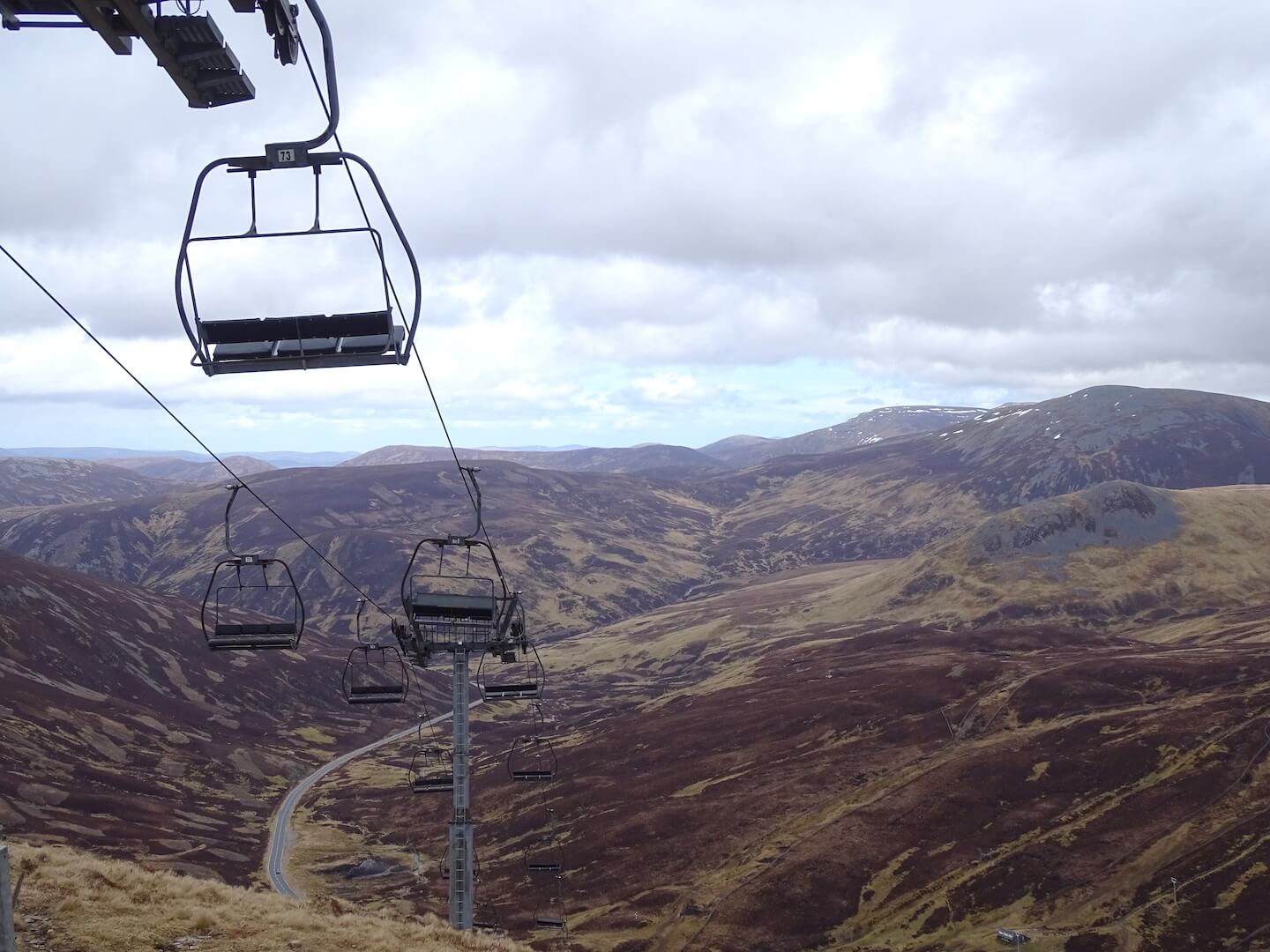 Looking Spring-like out there…
Comments on this post
Got something to say? Leave a comment


roger clare
14th April 2024 6:36 pm
Cheers guys. Appreciate your efforts and information as always. Till next winter . . .