Wet and Windy
5th February 2024
There was persistent rain and significant snow loss overnight and through today, leaving the hills looking very brown and the rivers looking full. Today’s pictures were all taken before midday, so there will be further snow loss throughout the afternoon and into the evening.
There will be a return to winter temperatures tomorrow as the freezing level drops steadily through the night to around 600 metres. The snow cover will become firm and runs out will present a serious hazard.
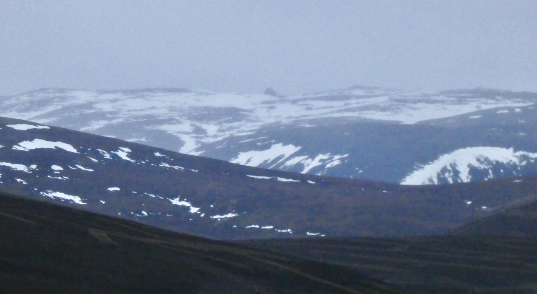
The high tors on Ben Avon (1171m). North and East aspects have some snow remaining.
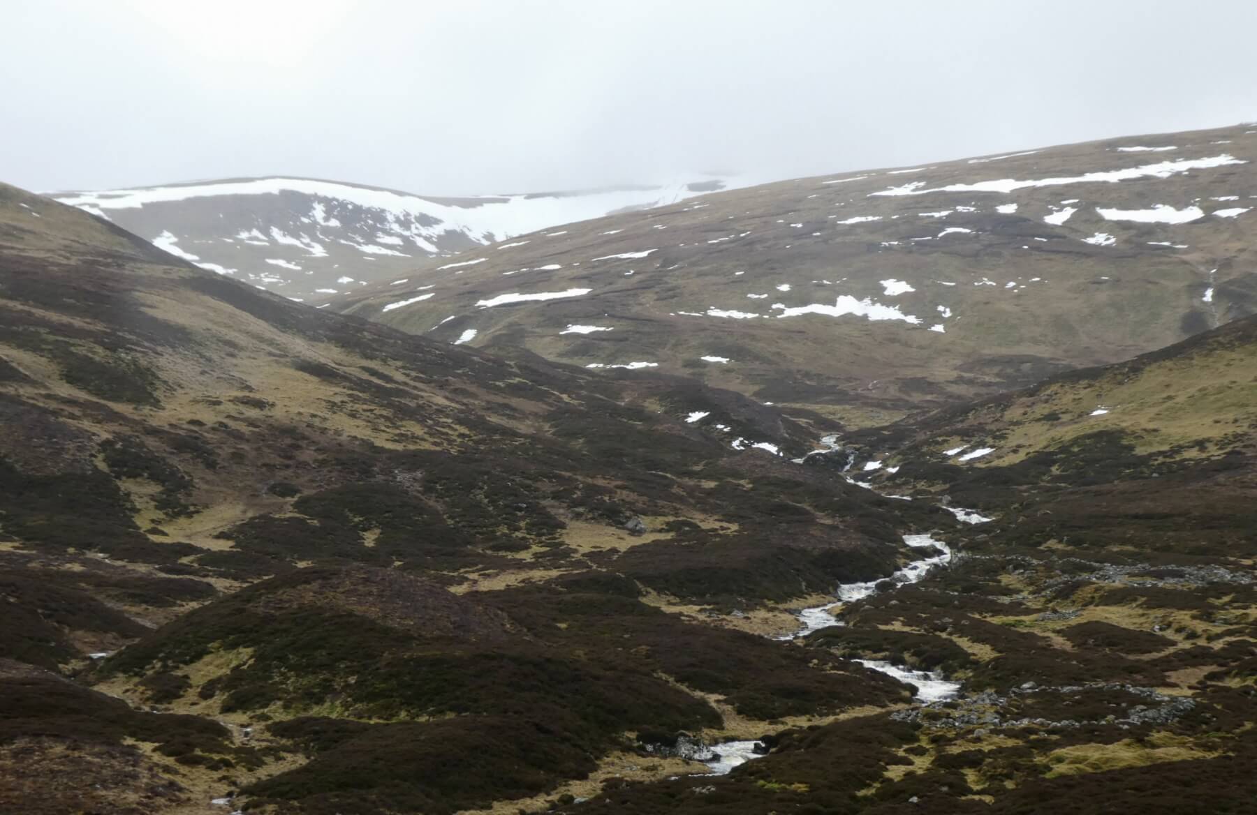
Looking up Allt Coire Fionn towards Glass Maol. The rim of the coire holding on to a ribbon of snow.
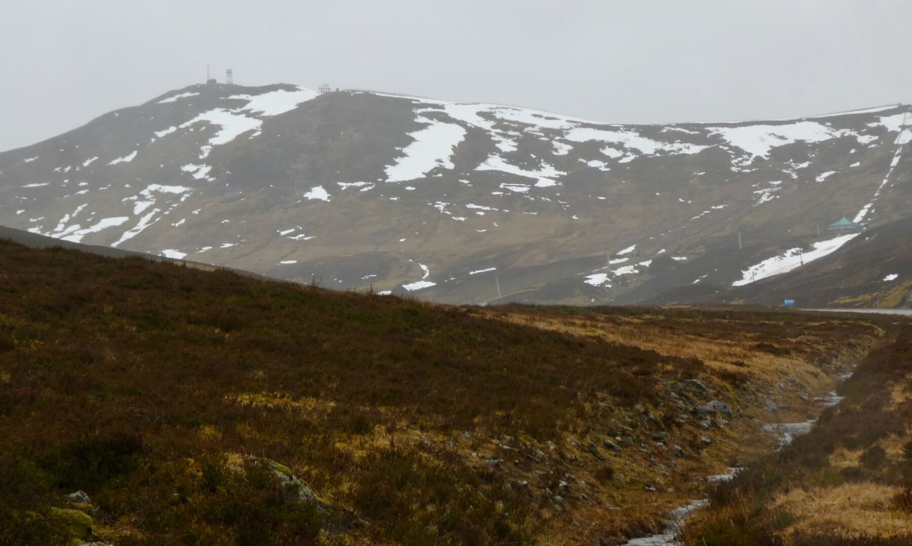
The Cairnwell (933m). These North-East facing slopes have only snow patches remaining.

Carn an Tuirc (1091m). These South facing slopes have even less snow remaining …
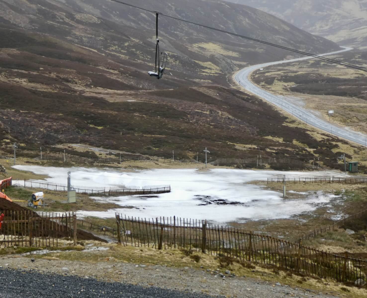
Compare this to the patch in yesterdays blog. The snow patch has shrunk and is devoid of skiers, who perhaps decided it was better to sort through their sock drawer today …
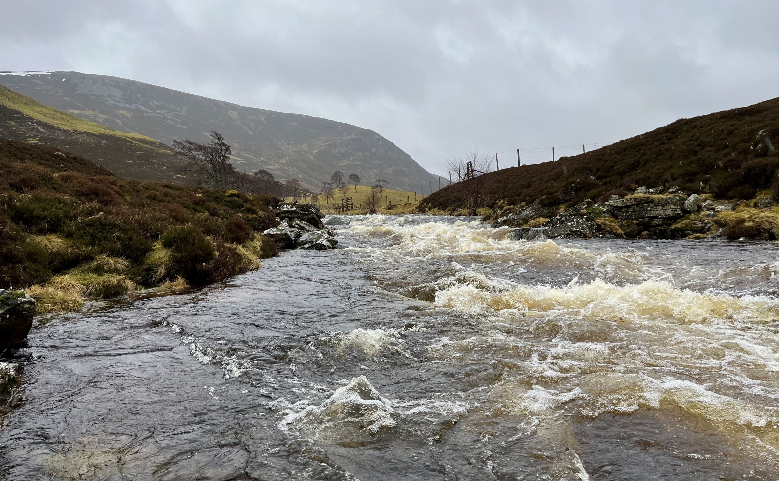
The rivers were full today, but this will probably be nothing compared to what are colleagues further West will be posting, with the Southern Cairngorms forecast to be the driest of the SAIS forecasting areas today. The Corbett of Creag nan Gabhar (834m) has a thin ribbon of snow hanging on just below the summit above the steep North-West slopes.
Comments on this post
Got something to say? Leave a comment


