Chilly!
6th February 2024
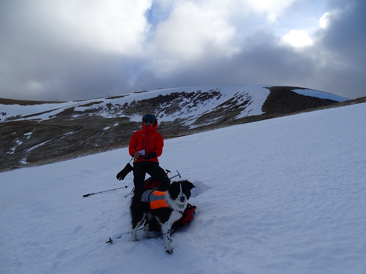
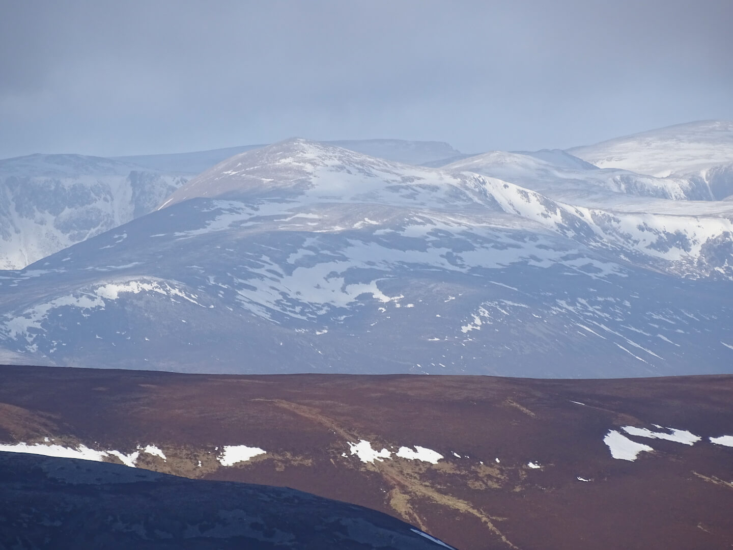
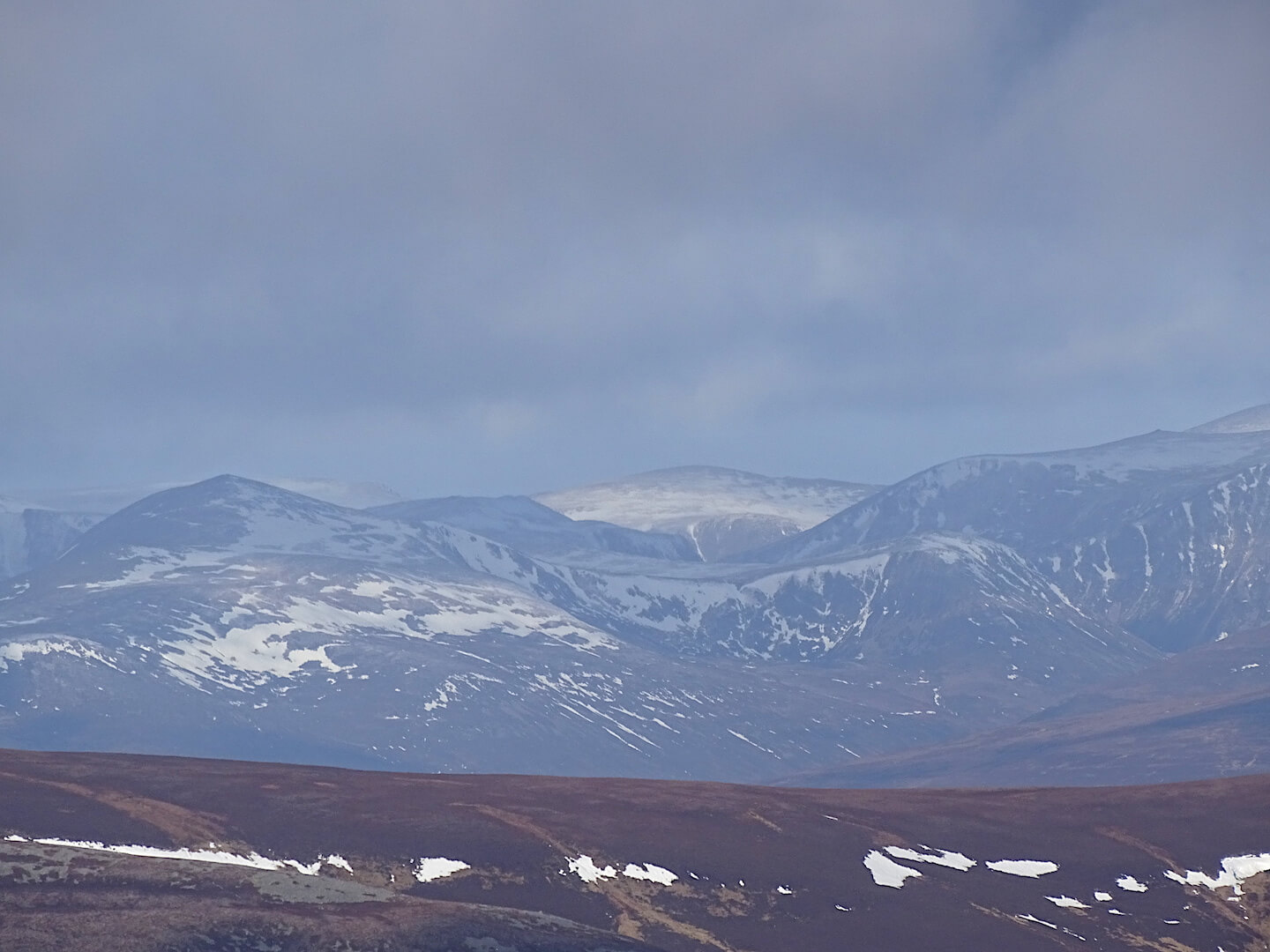
The freezing level lowered steadily overnight to around 600m, rising to around 700m during the afternoon. With the Gale force WNW, increasing to severe Gale force NW winds, it felt pretty chilly. Any exposed skin became painful very quickly – Not a day to let your gloves blow away. There has been fairly significant snow loss at lower elevations and even at 1000 metres the snow patches have receded. It is however well bonded with a firm and often icy crust. There was a trace of new snow blowing around in the wind and one snow shower pushed through when we were on the hill. Generally this snow was being blown straight off the hill and noticeably we only spotted one small area where the snow had accumulated – This was next to a boggy patch of ground where the snow couldn’t keep blowing along. Luckily we had some visibility today and the photos show the extent of the snow loss. Very little snow below 800m. Small patches between 800m and 950m. Larger areas in wind sheltered locations on North to East aspects above 950m. Especially gully tops, steep burn lines and well defined corrie rims.
Just a trace of new snow has been forecast for the area tomorrow but the freezing level will remain low – between 300m and 400m. Very little snow expected in the 48 hour outlook but looking ahead to Friday, the situation is starting to look more promising, with Easterly winds, some snow showers and a teaser of some thing more persistent – But no firm commitment on that yet!
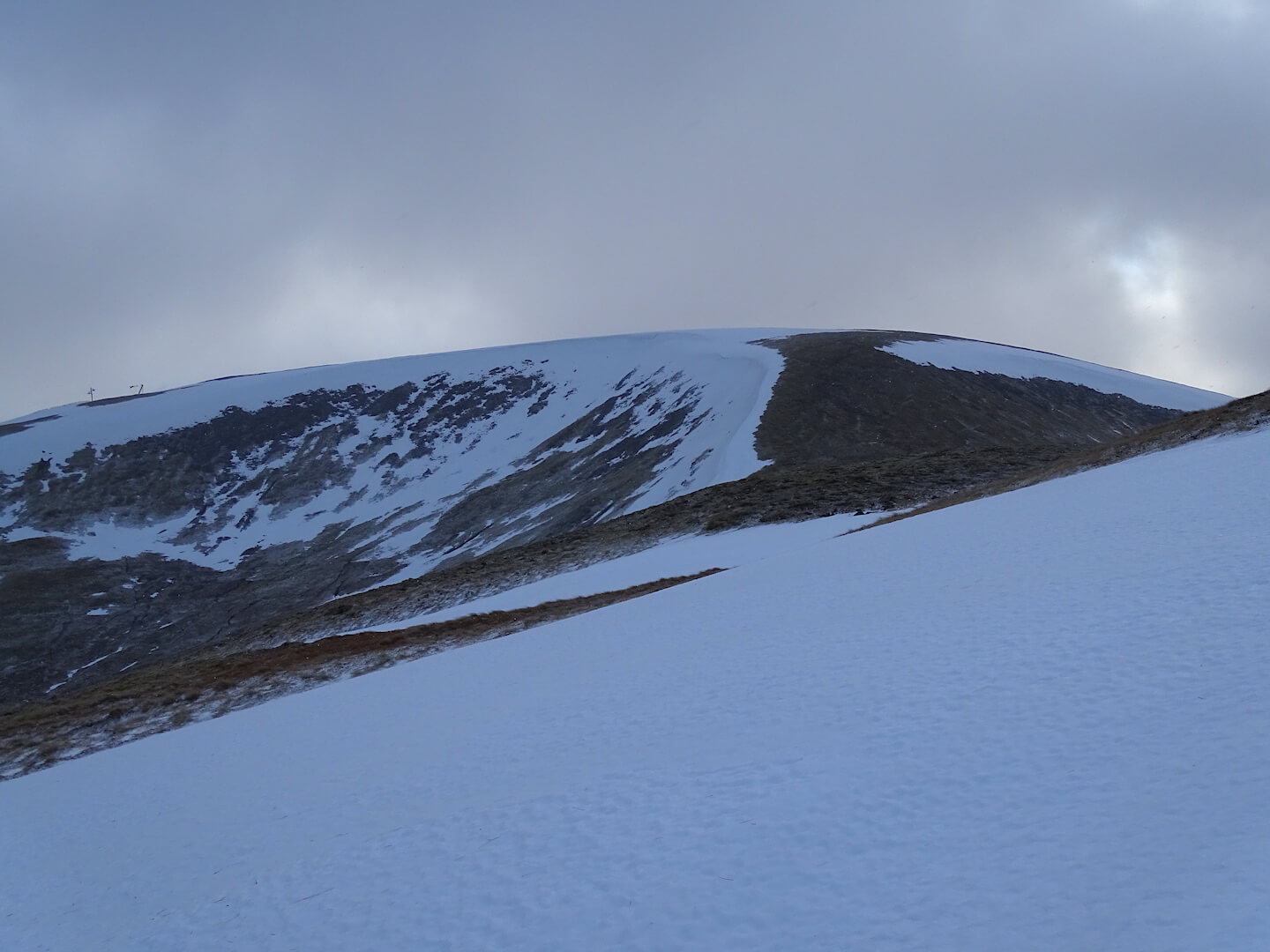
North and East facing corries above 950m holding on to some snow.
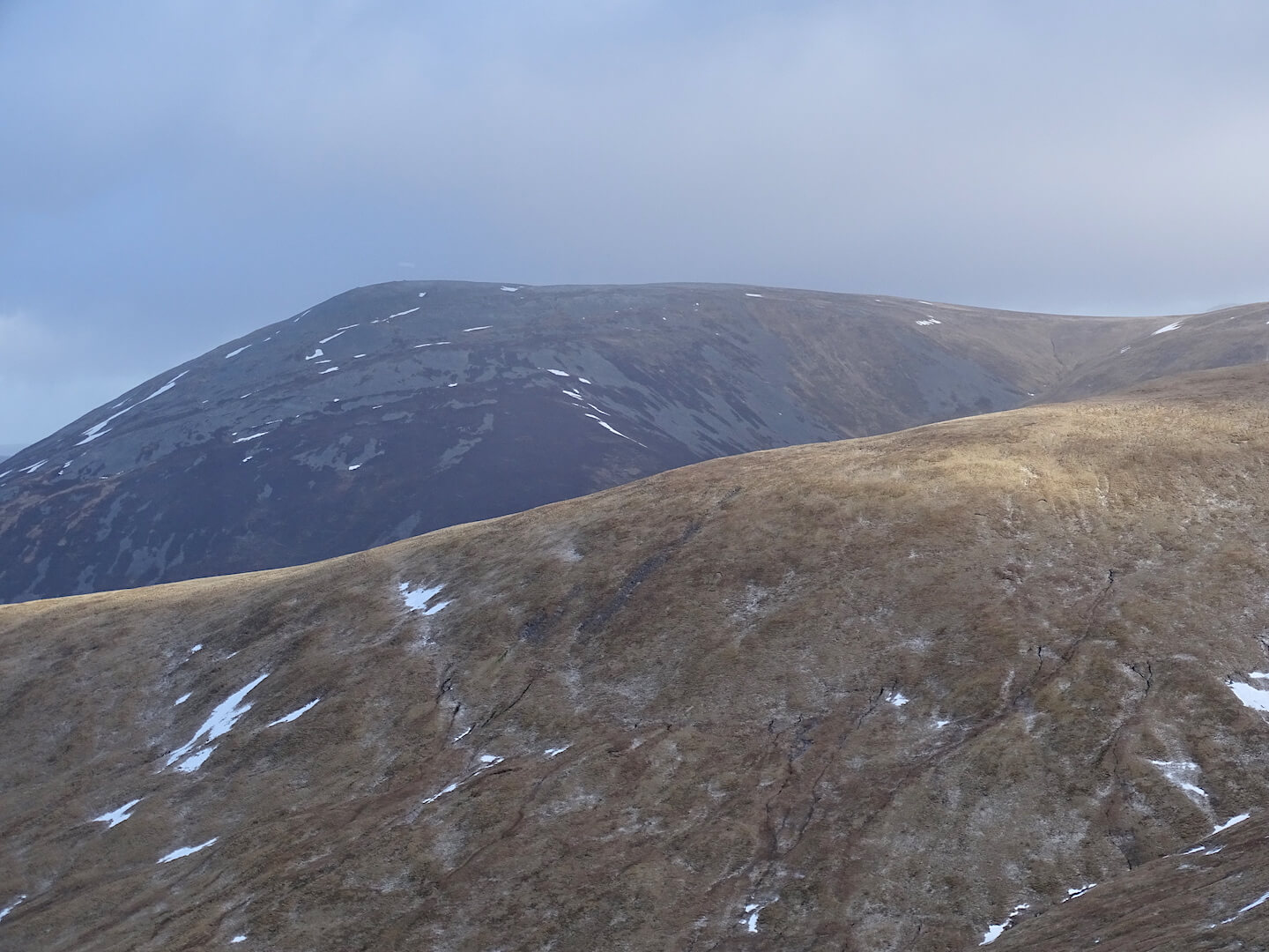
SW aspect of Carn an Tuirc – almost no snow
Old snow has refrozen and is firm and icy in places.
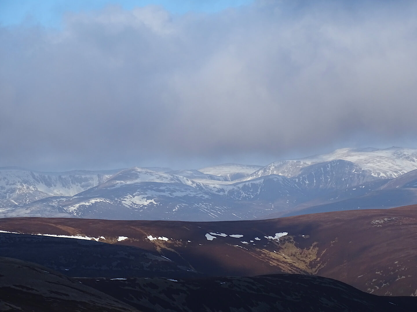
Distant views to the main Cairngorms showing the extent of the snow cover
Comments on this post
Got something to say? Leave a comment


