Storm Isha Approaching
20th January 2024
Milder conditions today with the freezing level rising up to around 1200 metres this afternoon. Light rain, strong winds and no visibility above 700 metres accounted for a fairly uninspiring day. The conditions are however encouraging consolidation, with low level deposits thawing entirely.
With the freezing level due to briefly rise up and over the summits this evening and then lower right down to 700 metres overnight there will be a good deal of well bonded snow around on Sunday morning. Fresh windslab will be forming overnight and during the day on the highest summits, especially on our Northern boundary mountains.
The main issue tomorrow is a huge spike in the freezing level from 1000 metres at 3pm to 1900 metres by 5pm. This will be accompanied by rainfall. This will have a significant destabilising influence on recent deposits and any remaining cornices will be prone to collapse, causing a high additional load on the slopes below.
Storm Isha is on the way and the MET office have issued an Amber weather warning for wind for our area. This starts from 6pm on Sunday evening but the winds are increasing in strength all the way through from Sunday morning. Early start, very early finish ……
Very poor visibility today so not much of an offering however we’re having technical issues with uploading photos at the moment. Will add a couple later this afternoon.
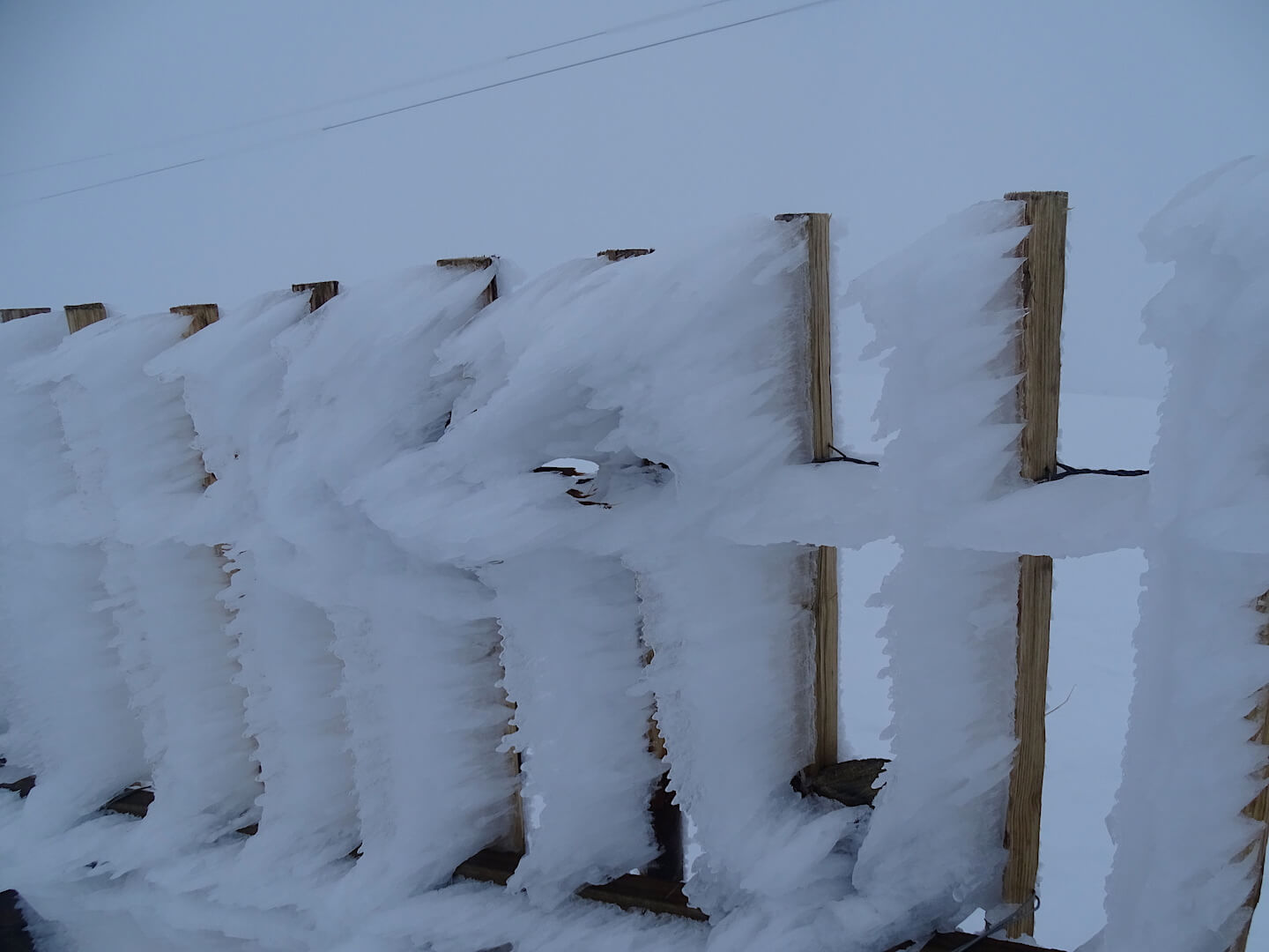
Well developed feathers – formed into prevailing wind.
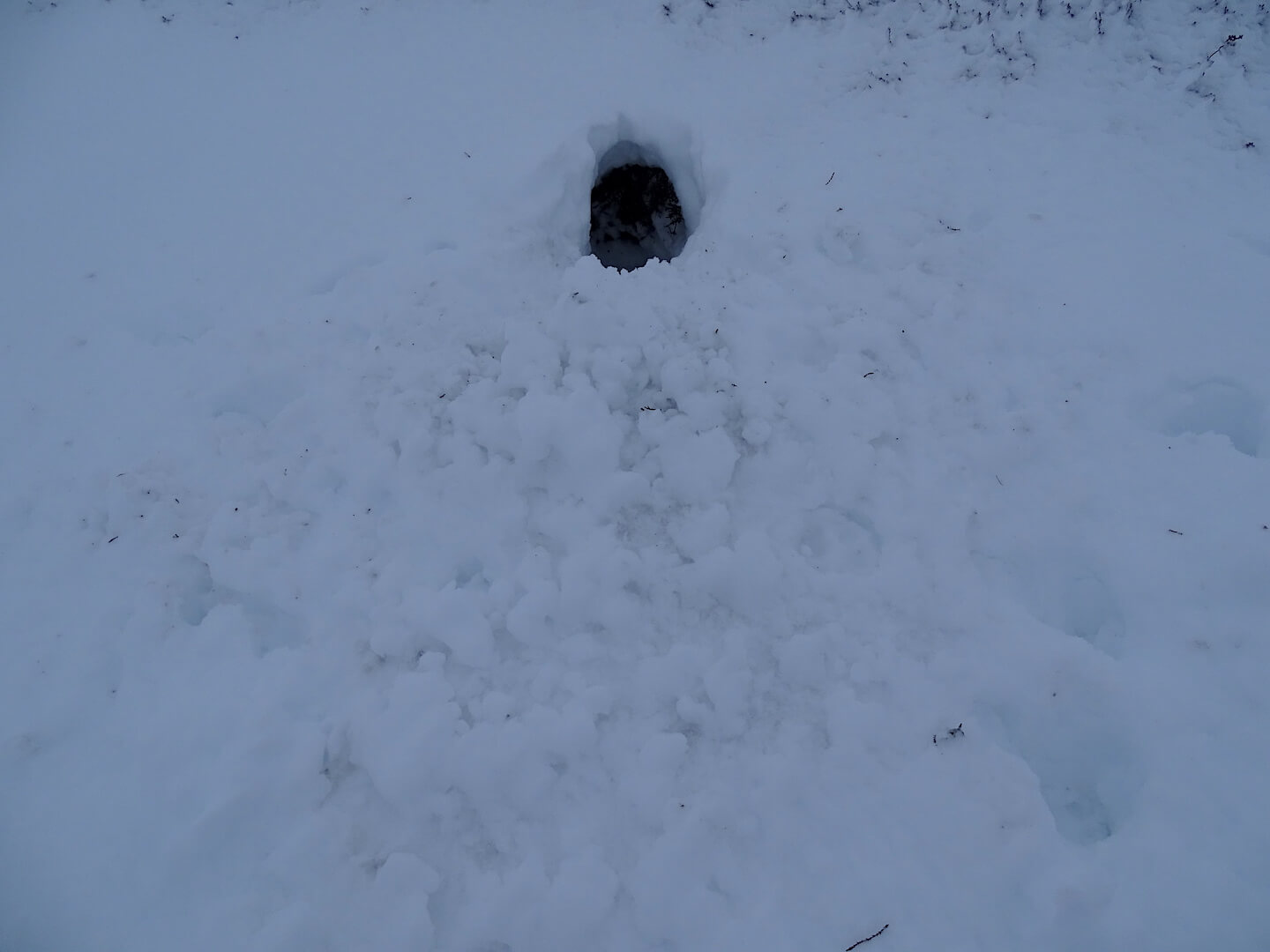
Hare Hut – It’s not only humans who dig snow holes during bad weather
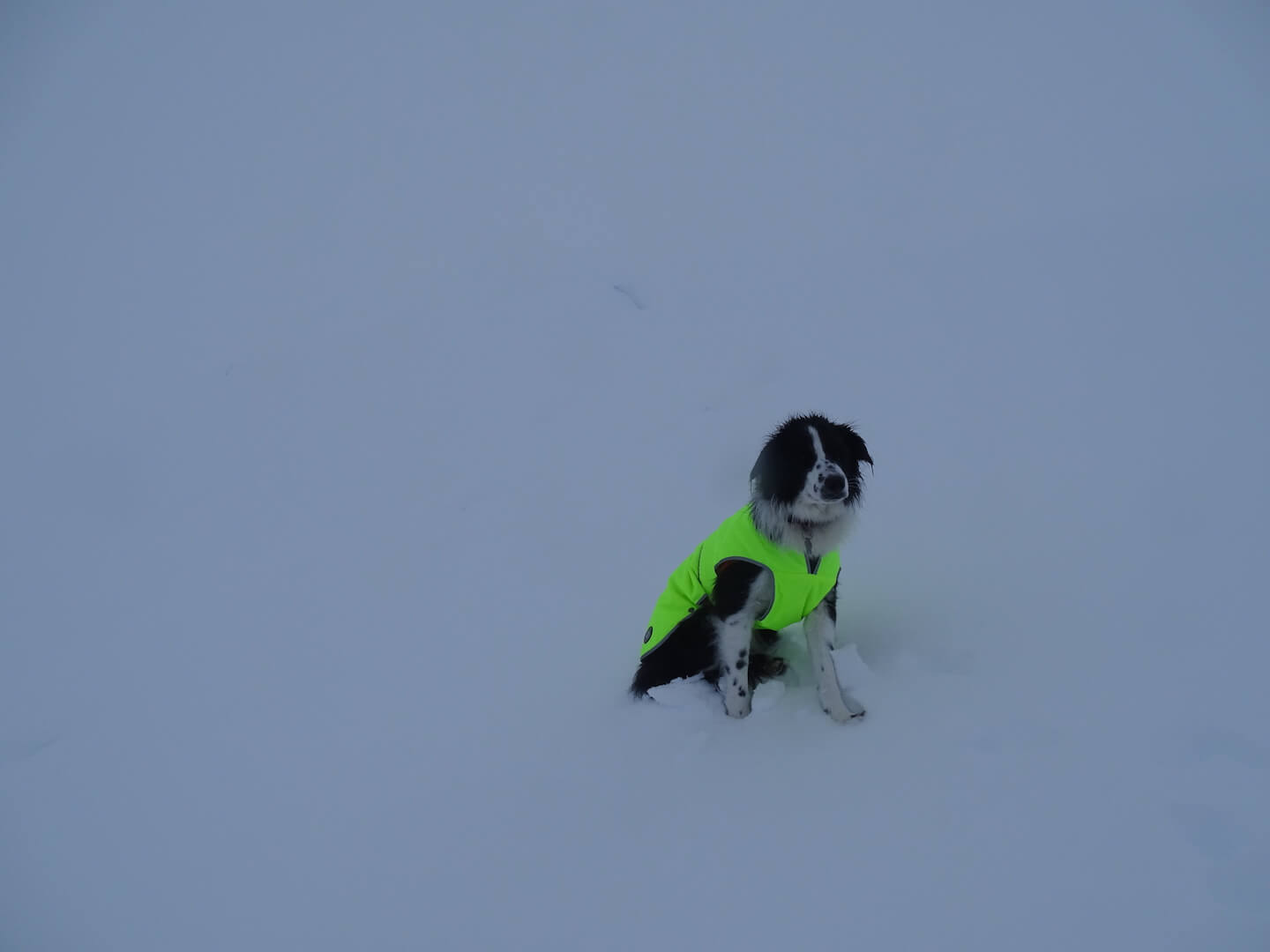
No viz above 700m today. Wind feature just starting to form above & left of Dog Bowie
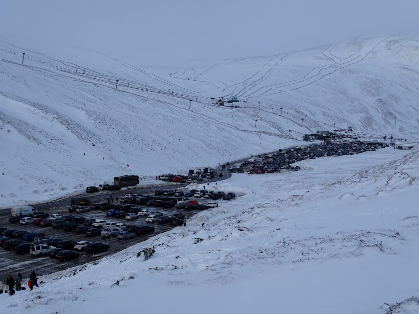
Very busy day at Glenshee Ski Centre
Comments on this post
Got something to say? Leave a comment


