Getting Colder
28th January 2024
Mild and very windy today – with storm force Southerlies blowing through the area. The snow was thawing at all altitudes and the burn levels were rising as the melt water drained off the hillsides.
A brief respite tomorrow as the winds ease right back, with the freezing level lowering to around 700 metres during the day, briefly lower overnight. Surface layers of the snow will start to refreeze, becoming firm and potentially icy at higher elevations.
Cloud base was at 500 metres first thing, rising slightly later but it was another day in the White Room, when we were on the hill. Hopefully there will be some visibility tomorrow to get a better idea of how much snow is left.
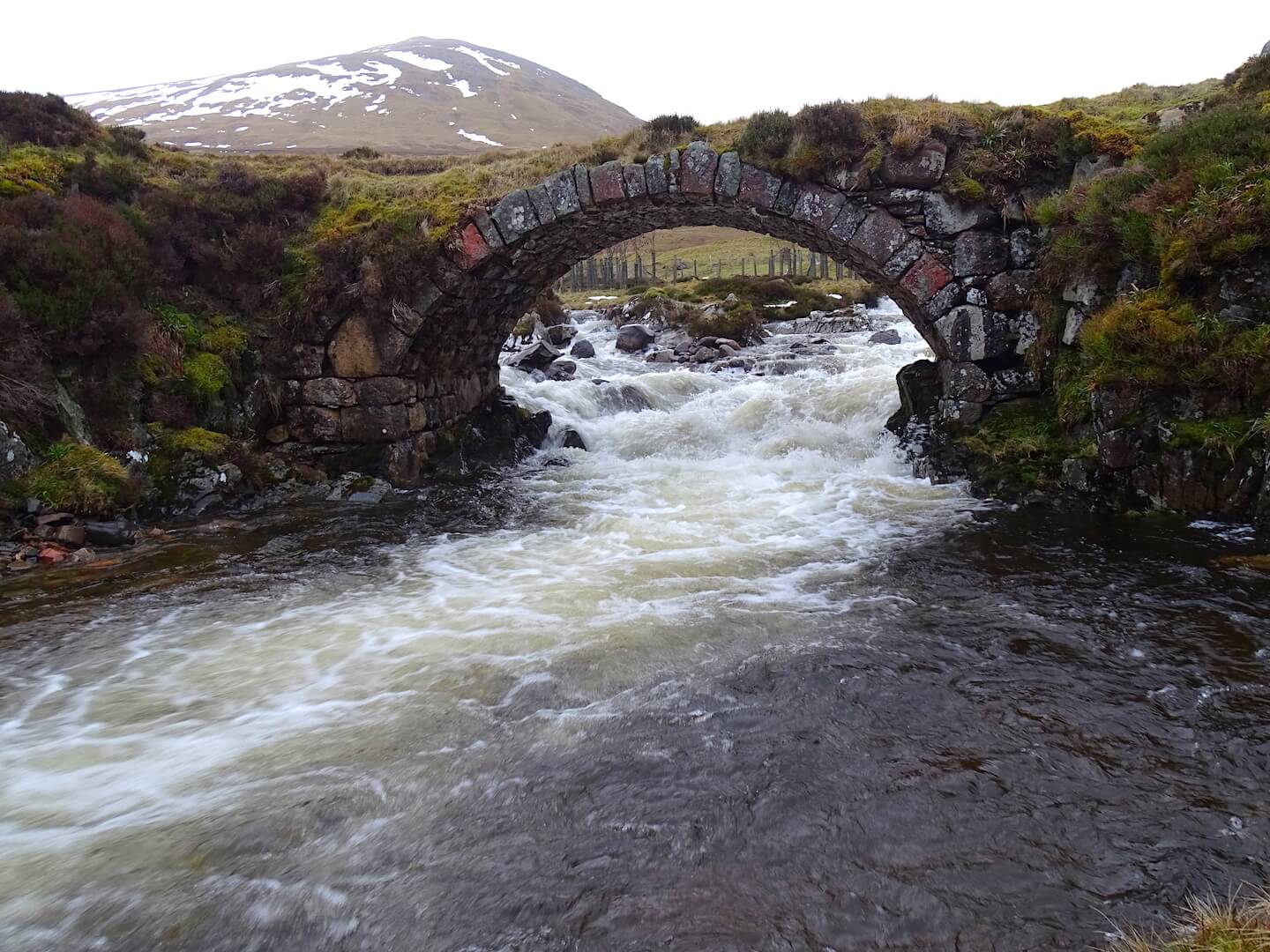
Burn levels were starting to rise during the day with all the snow melt
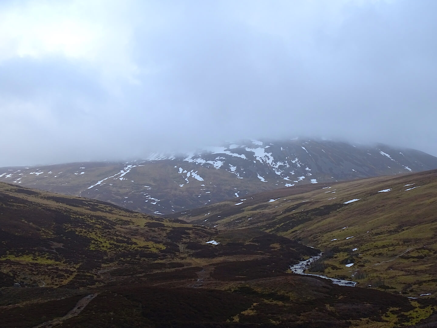
Summit of Carn an Tuirc in the cloud. Limited patchy snow on the lower slopes.
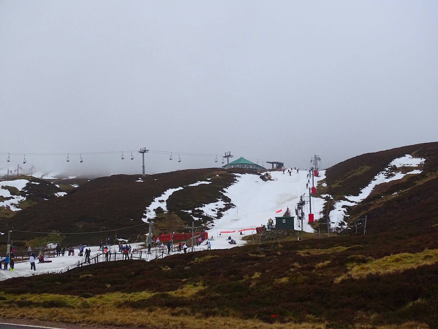
The snow factory ice pellets are more resilient than natural snow…and they’re getting topped up daily!
Comments on this post
Got something to say? Leave a comment


