Wet snow
23rd December 2023
Thin snow to glen level overnight followed by a freezing level rising up and over the summits. Precipitation continued to fall during the day, rapidly thawing the new snow. The burns were up, making crossing problematic. On the way up the tracks were inches deep in slush. By afternoon they were running like mini-burns as the wet snow rapidly thawed. It was a particularly wet, unpleasant day with the wind increasing with altitude and some powerful gusts.
The freezing level is due to lower to 1100 metres by Sunday morning, with the wet snow above this altitude becoming firm and icy. Snow has been forecast above 1050 metres but the amounts are very small and new accumulations will be insignificant. The freezing level will continue to lower during the early evening, eventually reaching 900 metres, so the snow will eventually firm up above this altitude. At present, it looks like it will stay relatively cold at altitude during Christmas and Boxing Day.
Mountain conditions were not conducive to great photography today….
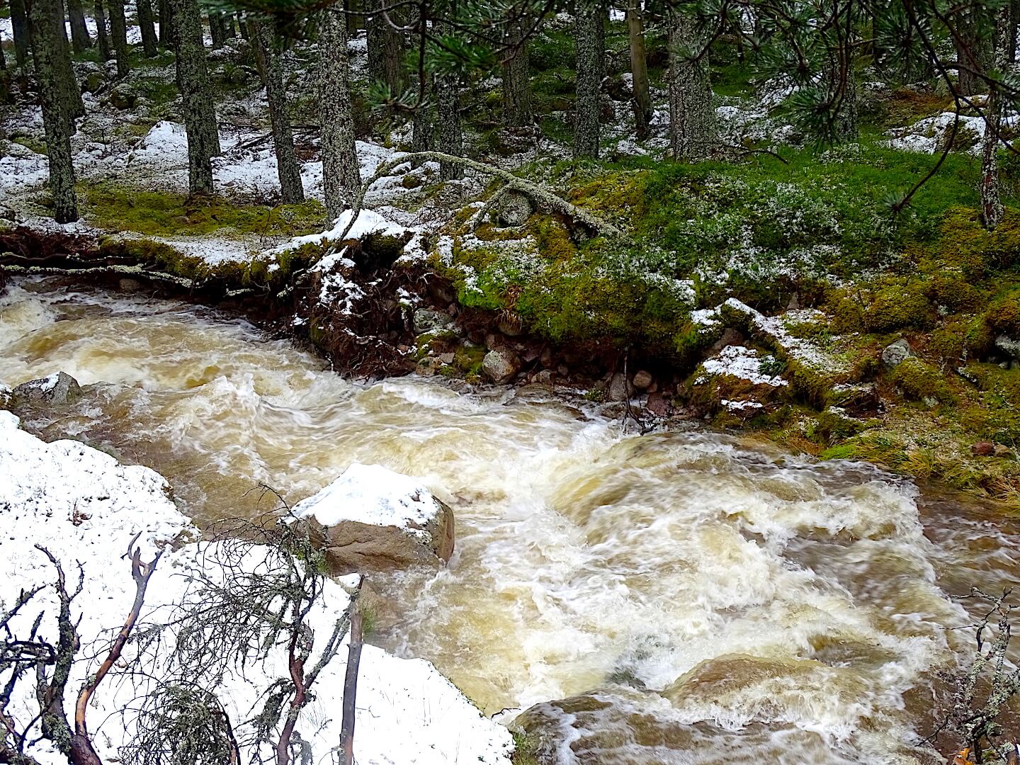
Burn crossing was problematic today as they rose rapidly due to rain and snow melt.
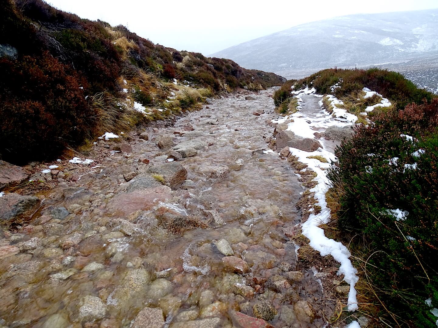
The Lochnagar track was running water this afternoon

Please can we go home now? Miserable wet hill conditions today.
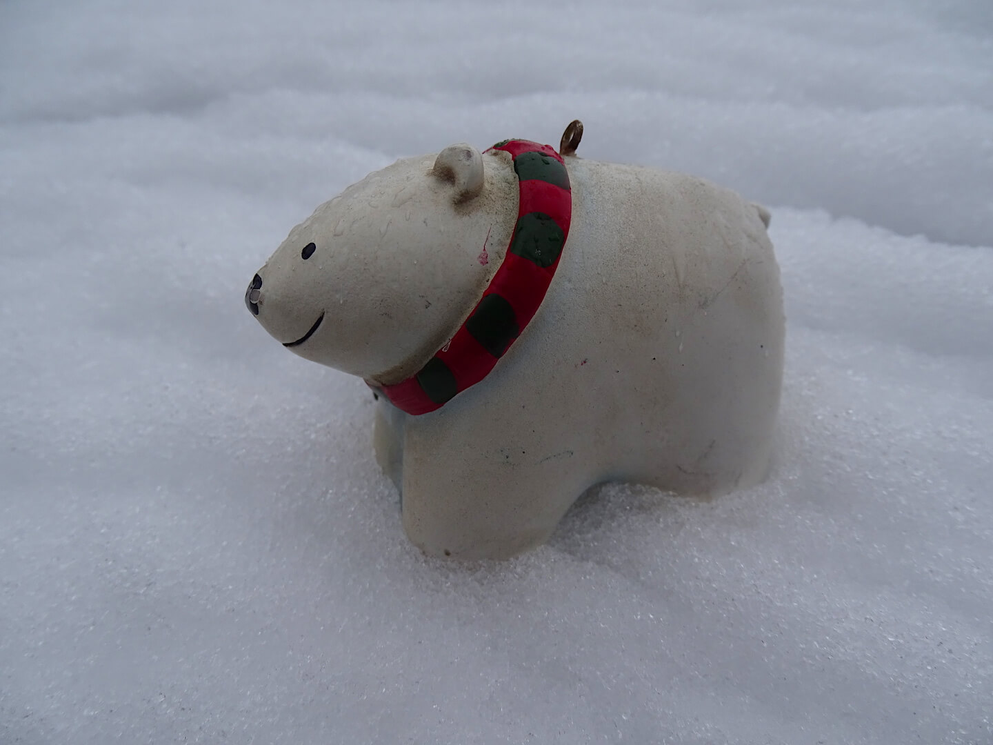
Just enough wet snow to keep a mini Polar Bear happy….
Comments on this post
Got something to say? Leave a comment


