Cold Northerly Wind
22nd February 2023
Only a limited amount of snow fell last night – however knee deep drifts were occasionally encountered in wind sheltered locations. The high mountains along the Northern boundary of the forecast area received more snow than those in the Southern half of the area. The freezing level is due to slowly rise up to summit level by tomorrow afternoon so there will be a gradually consolidation process taking place and the cosmetic white cover will thaw somewhat. Fluctuating freezing levels will continue for the next 48 hours and no significant snow has been forecast….

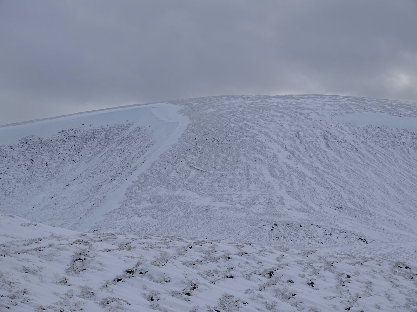
Sun highlighting the localised accumulations in wind sheltered locations on mainly E to S aspects above 900m. Note wind features at the top of the slope.
Just a trace of new snow on the West aspect of Glas Maol. Two walkers descending the path.
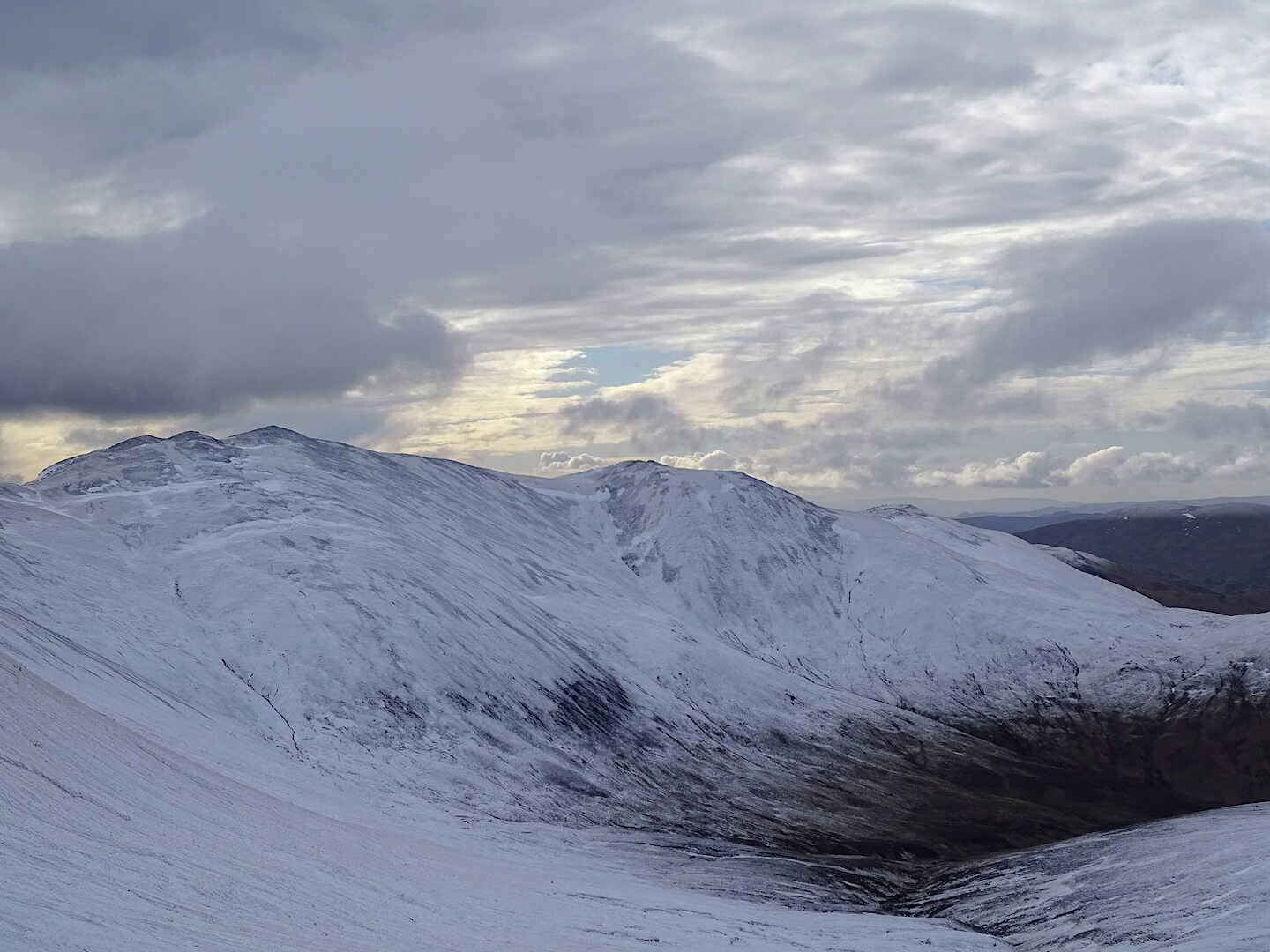
Limited new snow on Creag Leacach (987m)
Very definite snow line: Snow fell to just under 600m but was thawing fairly quickly at that altitude.
Comments on this post
Got something to say? Leave a comment


