More Snow Forecast…
9th February 2022
An interesting day with a bit more snowfall than expected during the morning. There were also very strong winds causing persistent drifting. The majority of the terrain is scoured with very little snow present – drop into steeper, wind sheltered locations and it is a different story with deeper soft snow and small cornices forming.
More snow has been forecast for tonight and tomorrow on winds that are variable from South-West through to North-North-West – this will increase the distribution of the windslab. Again the winds are very strong, ensuring that only the most wind sheltered locations will hang onto the snow – Elsewhere it will blow straight off the mountains.
We have reached the point where care should definitely be taken with route choice, as rates of accumulation will be fairly rapid and bonding will be poor. Most areas will continue to be wind scoured and bare though.
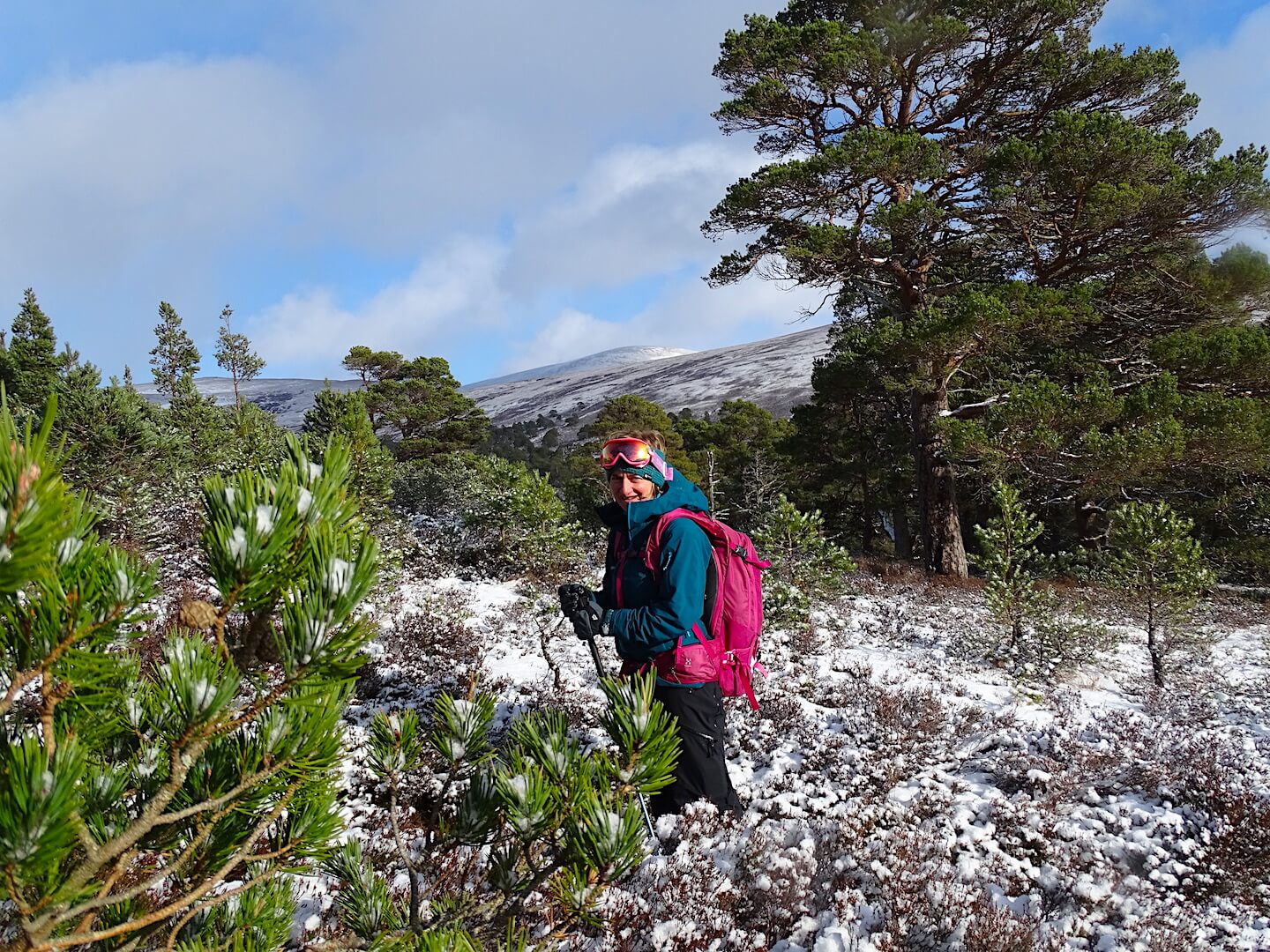
I was lucky enough to have another observer out with me today so the photos have a person in them for scale etc…

Frequent snow showers this morning, falling to glen level.

Felt like Winter with unconsolidated snow to deal with. Over knee deep in places.

Deep fresh snow, wind lips and cornices forming but bare ground behind – see far right of photo.

Snow profile site at 850m – well over a metre of snow in this location.
Snow showers eased in the afternoon – A different world!
Comments on this post
Got something to say? Leave a comment


