Weather fronts approaching….
27th March 2021
Covid -19
The Scottish Avalanche Information Service issues information to support permitted activity under current Scottish Government guidance.
Please be aware of current mandatory travel restrictions in Local Authority areas within Scotland and respect local communities by referring to Scottish Government guidance and safe route choices for exercise. For further guidance please refer to the following information for hillwalkers and climbers and snowsports on ski and board.
This blog is intended to provide hazard and mountain condition information to help plan safer mountain trips.
A very cold wind chill today with firm and icy snow in some locations and recent windslab in others. Quite a complex 24 hour period coming up in terms of the weather with two frontal systems crossing the area. Snow, sleet and then rain as the freezing level rises to 1300 metres tonight. A degree of consolidation as it briefly falls to 750 metres before it heads up and over the summits again tomorrow afternoon.

Fairly thin and icy cover on the Glas Maol plateau, deeper cover on the East aspect.
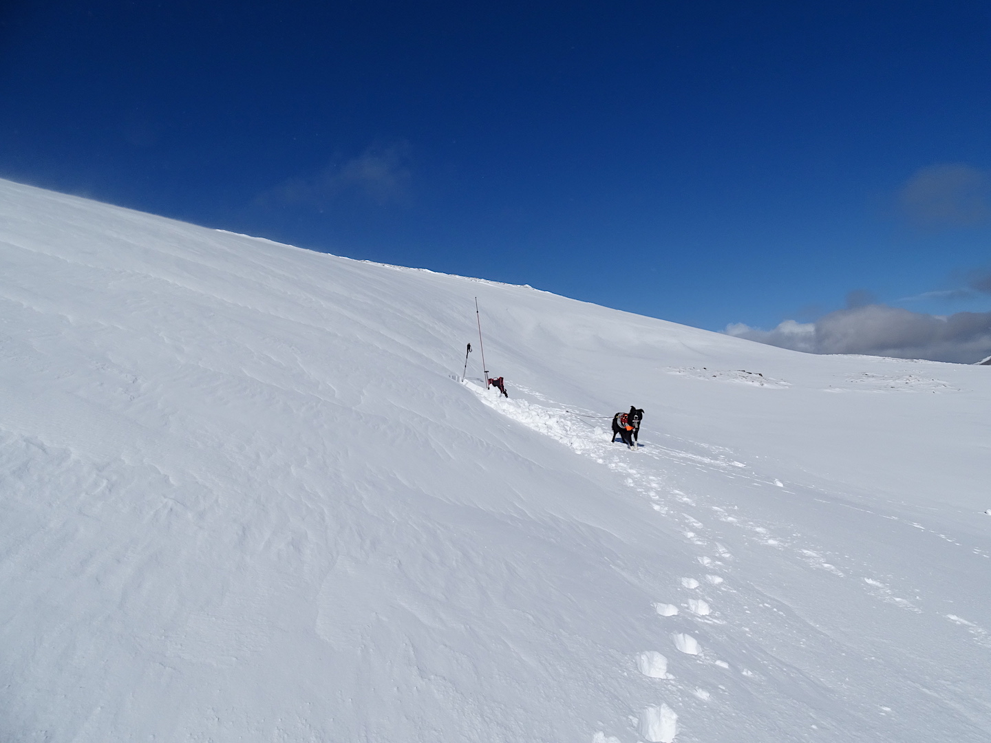
Sheltered locations are holding deeper recent accumulations of moderately bonded windslab.

Recent accumulations tend to be restricted to around corrie rims, convexities and gully tops. Small cornices have formed.
Comments on this post
Got something to say? Leave a comment


Danny
27th March 2021 9:08 pm
Hi, Where is your third pic looking at today? I just can’t place it :o)
scairngormsadmin
28th March 2021 8:43 am
Hi Danny
It’s Glas Tulaichean (1051m)
Team SC
Danny
28th March 2021 9:20 pm
Cheers, Carn Bhinnein would have given me my bearings, but stolen the limelight…
Lovely shot!
D.