Variable snow cover.
6th January 2018
A clear morning with cloud coming in early afternoon. Snow depths are highly variable at the moment as is the stability of the snowpack.
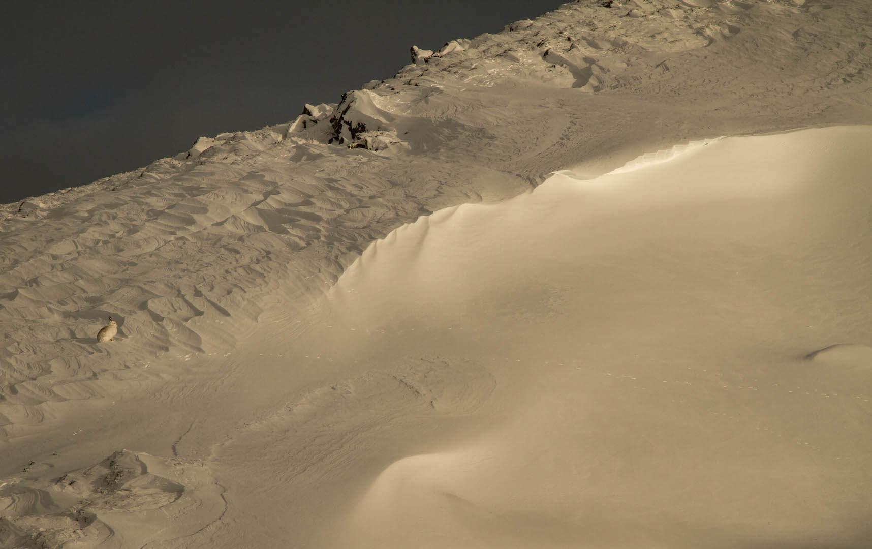
Note the ridge above the Mountain Hare (on left) Â is scoured, deep drifts in front of it.
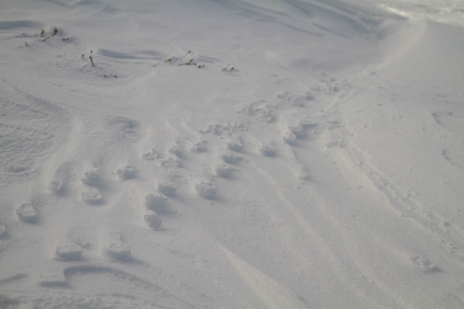
Winds were strong overnight. Raised Hare footprints around 850 metres.

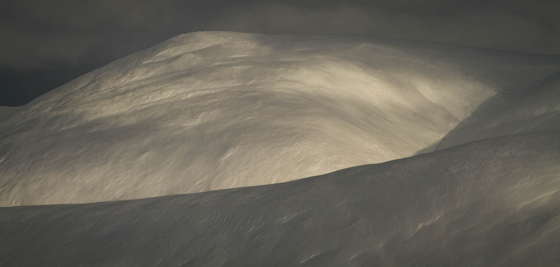
Snow was still drifting at higher elevations during the day. Accumulations becoming deep in very sheltered locations.
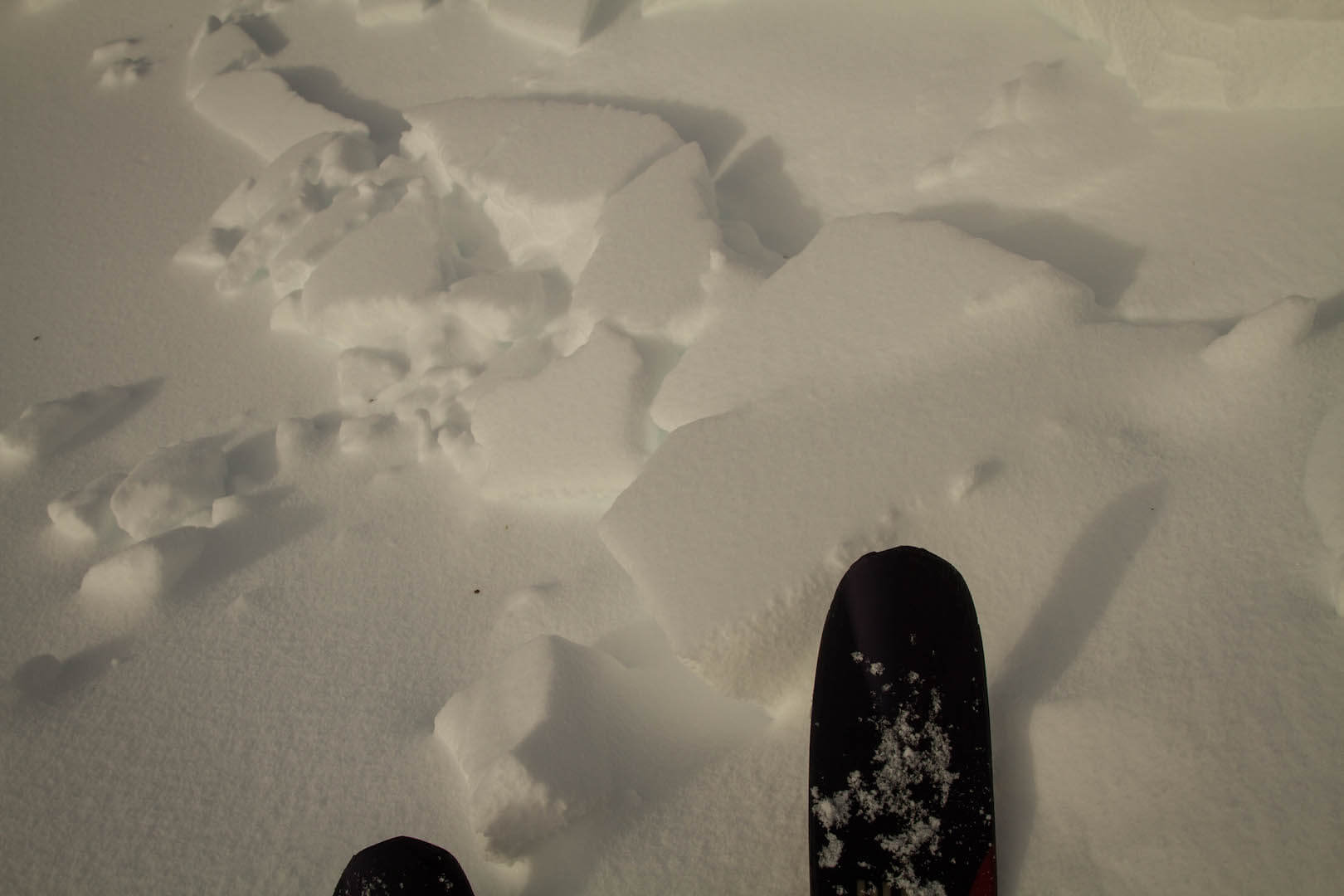
Natural surface instabilities were noted in steep lee locations.
Coverage looks great on West Aspects. Unfortunately this is where the most unstable snow is!

Glenshee Ski Centre is looking in great shape. After last nights winds they were able to open more runs. Their South-West facing slopes holding most snow.

Avalanche debris on Carn Aosda. I didn’t see this when I arrived, looking at the ski tracks to the left I suspect it was triggered by skiers during the morning. This is the second time this season this avalanche has occurred.
Comments on this post
Got something to say? Leave a comment


Stan Intihar
6th January 2018 8:57 pm
hi there.
what aspect is that (carn asoda)?
cheers!
thanks for all the work you folk do, by the way!
scairngormsadmin
7th January 2018 6:16 pm
Hi Stan. It’s faces South-East. In the pic you can see the crownwall where the avalanche started, this bowl can collect snow from various directions. Its a popular ski descent, you can access it from the lifts. This avalanche was started by skiers apparently. Thanks for the kind words. Enjoy the Winter!
Stan Intihar
9th January 2018 3:57 pm
Cheers for that!!
Was up Drummochter in the end for a straightforward first day of the season…
All the best.