Snow Showers Forecast
18th January 2009
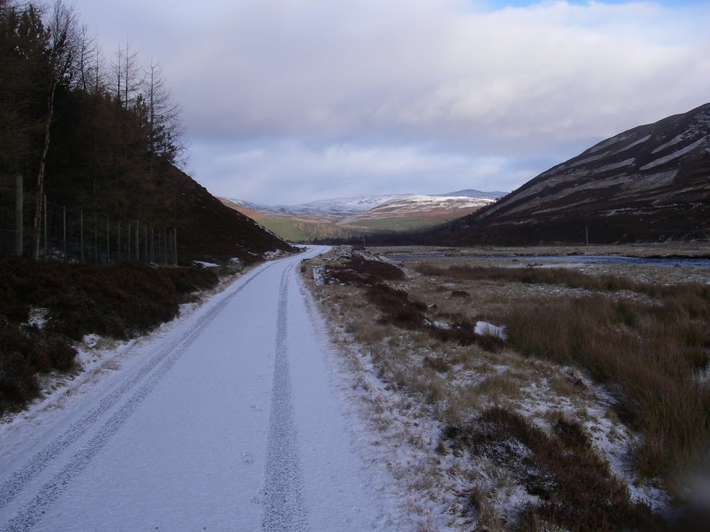 A trace of snow down to valley level. Cover is still limited in the hills.
After a fairly full on stormy night this morning was fairly calm by comparison. Early evening saw blizzard conditions even over the high road passes. The outcome of these strong winds is that many areas have been stripped of new snow. What that does mean though is that any area sheltered enough for new deposits to accumulate have rapidly acquired a significant depth of unstable windslab. New cornices have also formed. So when you look at the hills and think “Where’s all this new snow? The hills look pretty bare.” … it’s only present in the steeper sheltered locations that you really don’t want to be in right now! The low additional load of a single person will be enough to trigger avalanche activity. Even popping a small slope could knock you off your feet and slide you head first into an exposed boulder field.
It is going to remain showery throughout the next 24hr period but most forecasts seem to suggest that the heavier snow showers will be tomorrow morning and just into the early afternoon – but as ever the evening weather forecasts use the most up to date data and will be able to give you the most accurate information and timings. Stability is going to deteriorate further as the slopes continue to get loaded with fresh windslab – so if you are out and about tomorrow have a quick look at the main report for aspects etc.
Sam
Comments on this post
Got something to say? Leave a comment


