Lochnagar
3rd March 2024
Overnight snow gave deeper cover than expected on Lochnagar today, and I passed a couple of people who had decided to turn back from the col between Lochnagar and Meikle Pap. It was immediately apparent why when above 800 metres, as deeper drifts of windblown snow made progress difficult.
The wind has transported snow depositing windslab in steep wind sheltered locations. This is anticipated to become more widespread tomorrow particularly in the north facing coires. Further north in the Southern Cairngorms area the cairngorm plateau will provide significant fetch for windslab development, and as such accumulations may be more extensive in the north. It is worth checking the forecast from our colleagues in the Northern Cairngorms if heading into the central Cairngorms.

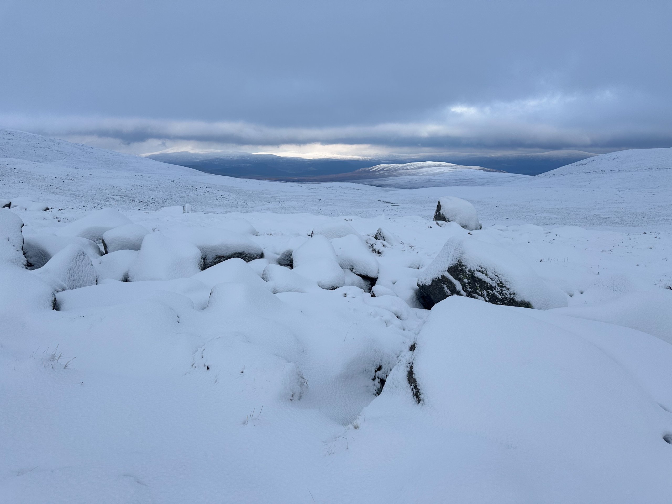
Looking north from 750 metres on route to the col between Meikle Pap and Lochnagar. Just under 10cm of fresh snow covering the boulders in this location. Most of which fell last night.

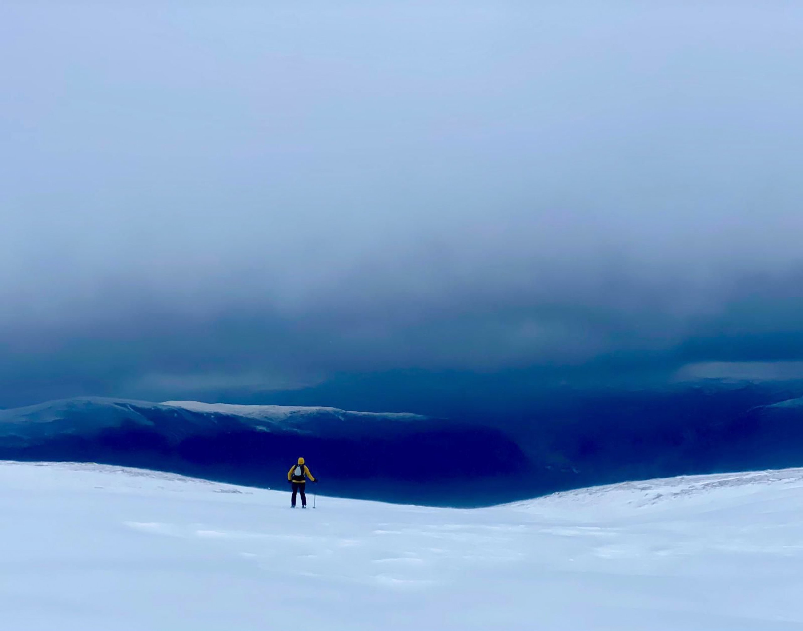
Visibility was generally pretty poor but there were quite a few people out and about making the ascent of Lochnagar along with some ski touring/mountaineering parties seeking out the steep gully lines of Lochnagar Coire and the Stuic. More amenable hollows and burn lines have also collected snow (pictured).

A skier in ‘Feadaige Gully’. We often shy away from posting images of activity in the mountains giving preference to landscape images which indicate the snow distribution. The visibility was really quite poor today limiting the images that I was able to take. Thanks to Jim and Katie who sent across two images. As an avalanche forecasting service we quite rightly communicate hazard and risk, but sometimes it is nice to give some balance. This gully looked like a good place to be today for those with the pre-requiste experience.
Comments on this post
Got something to say? Leave a comment


