Windy and cold
12th March 2025
There has been some light and intermittent snow showers which arrived overnight and continued through the day. Amounts are small and the landscape has a thin covering above 600 metres.
The remote coires that bound the northern edge of the South Cairngorms area may have slightly more new snow due to the prevalent Northerly winds. It would be useful to also reference the North Cairngorms report if travelling to these areas.
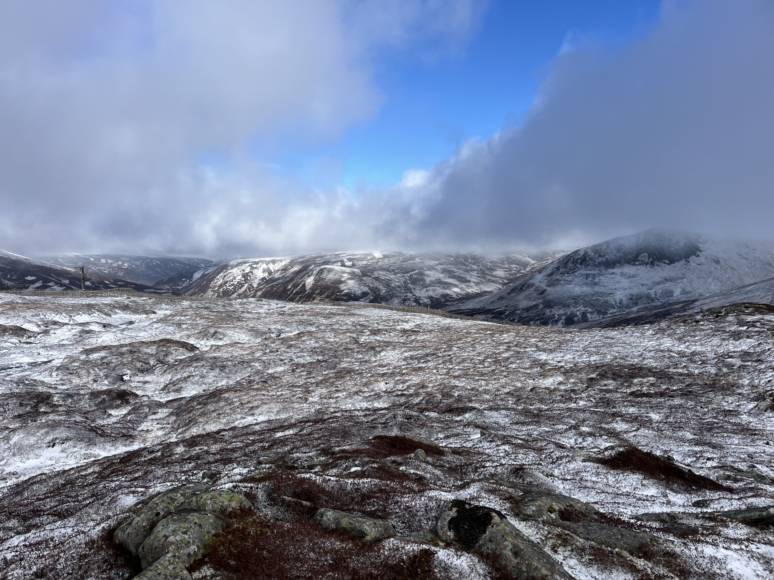
(Above) Looking north from the Glenshee ski area.
(Above) Small and isolated accumulations of new snow slowly building in wind sheltered areas.

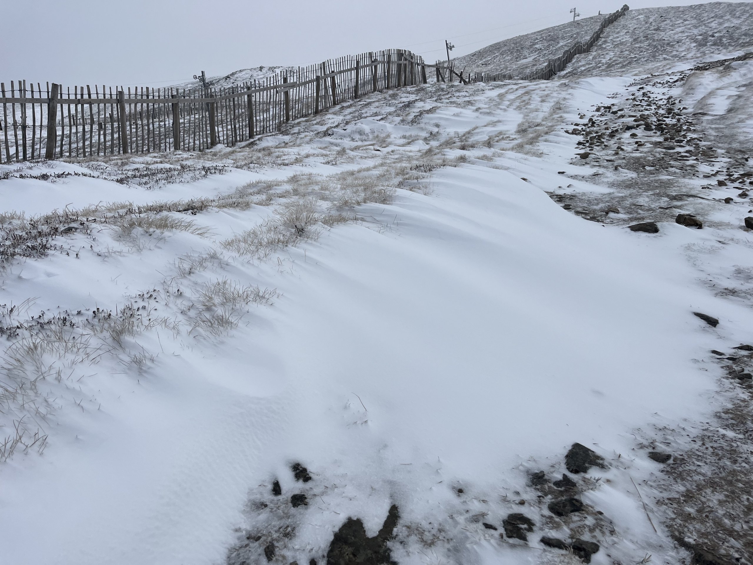
(Above) I found this isolated drift which had been created by the snow fence and measured 20cm of depth at deepest point.

(Above) Rime ice on fences heralding a return to winter.
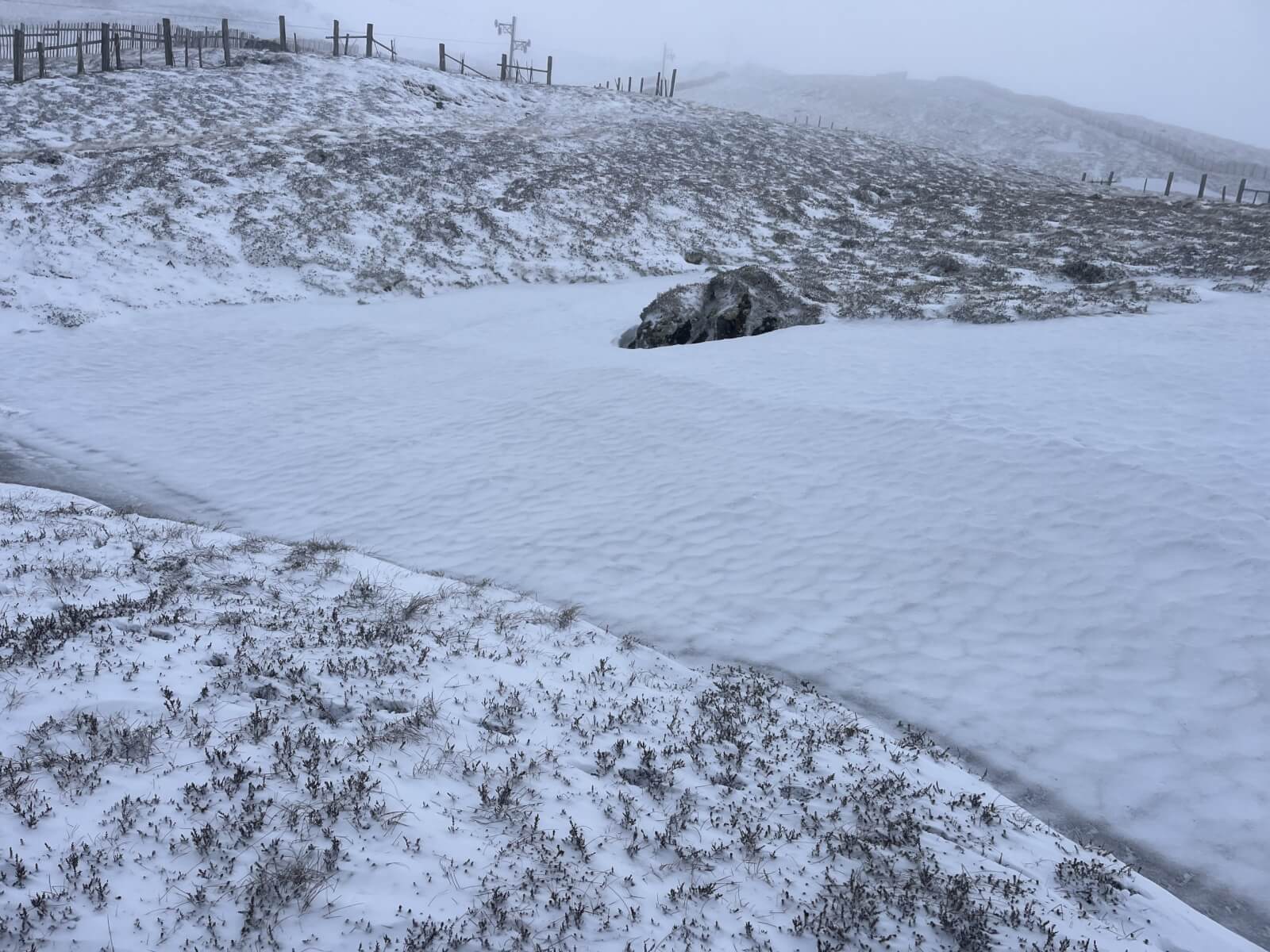
(Above) An old firm and icy snow patch at around 800 metres within the ski area.
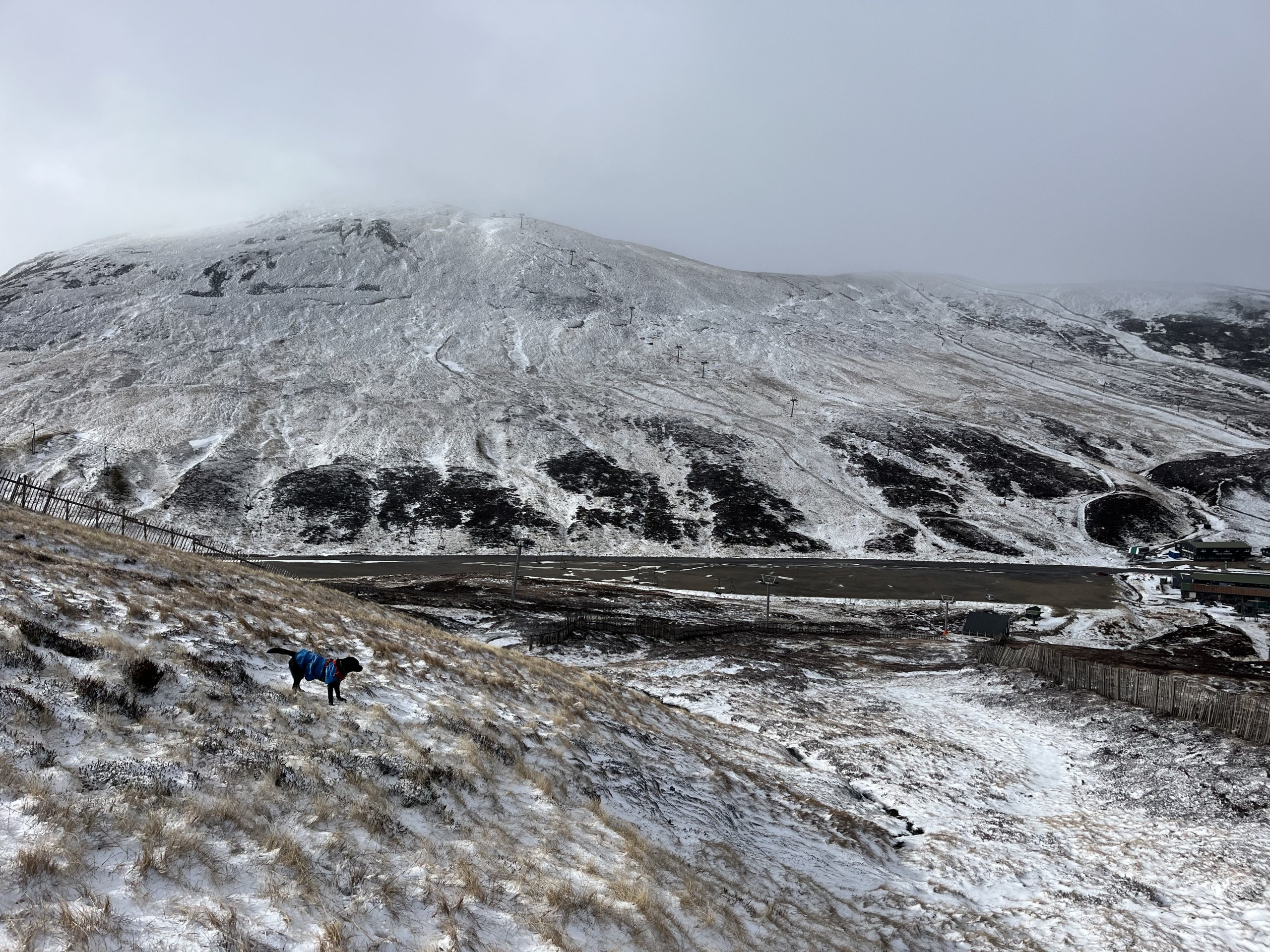
(Above) Snow cover, looking on to the Cairnwell.
Comments on this post
Got something to say? Leave a comment