Slowly but Surely…
13th March 2025
Gradually day by day this week we’ve had light snow showers depositing fresh snow. Most places have a thin superficial cover. Just occasionally, a few locations have managed to accumulate a good bit more. Given that we are nearly halfway through March now, when the sun does come out there is some warmth in it and accumulations are consolidating well as they are situated on the South facing slopes. Tonight’s forecast is for light snow but there is potential for the higher mountains along the northern boundary of the forecast area to receive a wee bit more. Given that the winds will be strong Northerlies, there is potential for a bit of drifting to take place and for fresh unstable accumulations to form. Places to watch out for are steeper wind sheltered locations with freshly drifted deposits – best to avoid them whilst consolidation takes places. It doesn’t take much snow dislodging to knock you off your feet and send you down over unforgiving terrain.
No views into Lochnagar today – the cloud refused to budge.

This drift had over a metre of snow in places. Starting to consolidate though….

Localised drifts of deeper snow – limited distribution.

Some trail breaking required…
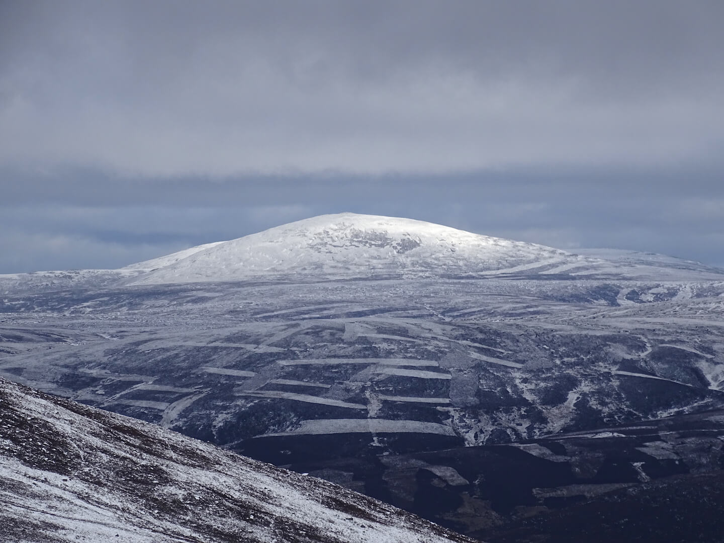
Cloud started to lift a little during the afternoon
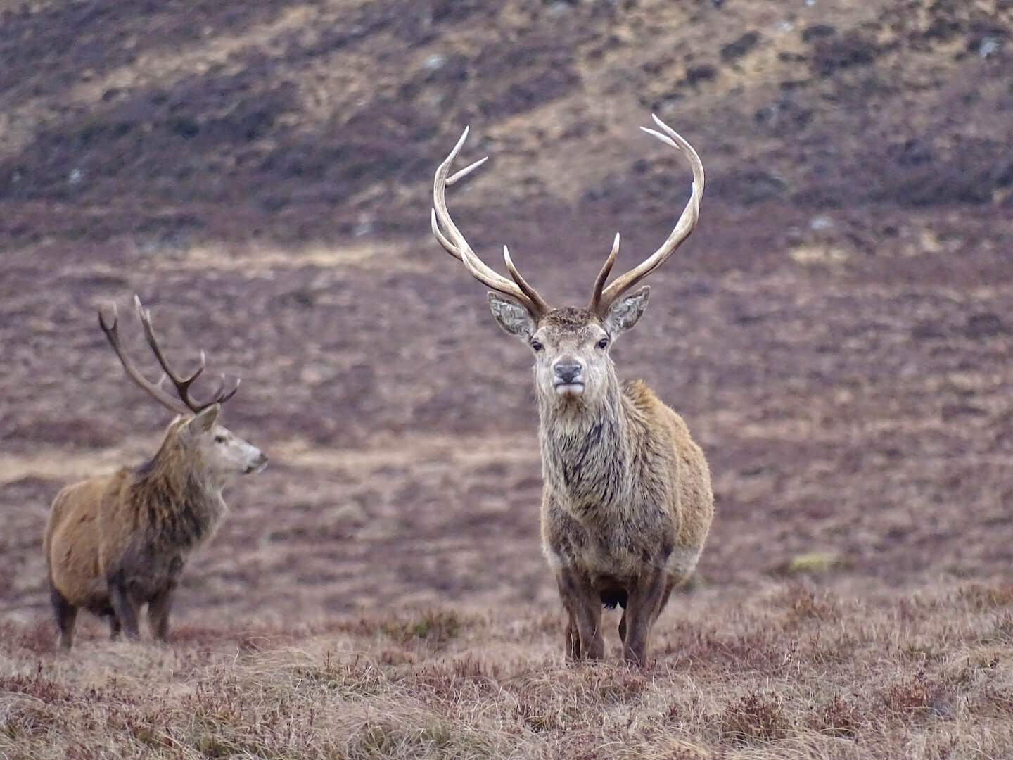
Magnificent chap!
Comments on this post
Got something to say? Leave a comment


