Cold, clear conditions.
8th January 2021
Covid -19
The Scottish Avalanche Information Service issues information to support permitted activity under current Scottish Government guidance.
Please be aware of current mandatory travel restrictions in Local Authority areas within Scotland and respect local communities by referring to Scottish Government guidance and safe route choices for exercise.
This blog is intended to provide hazard and mountain condition information to help plan safer mountain trips.
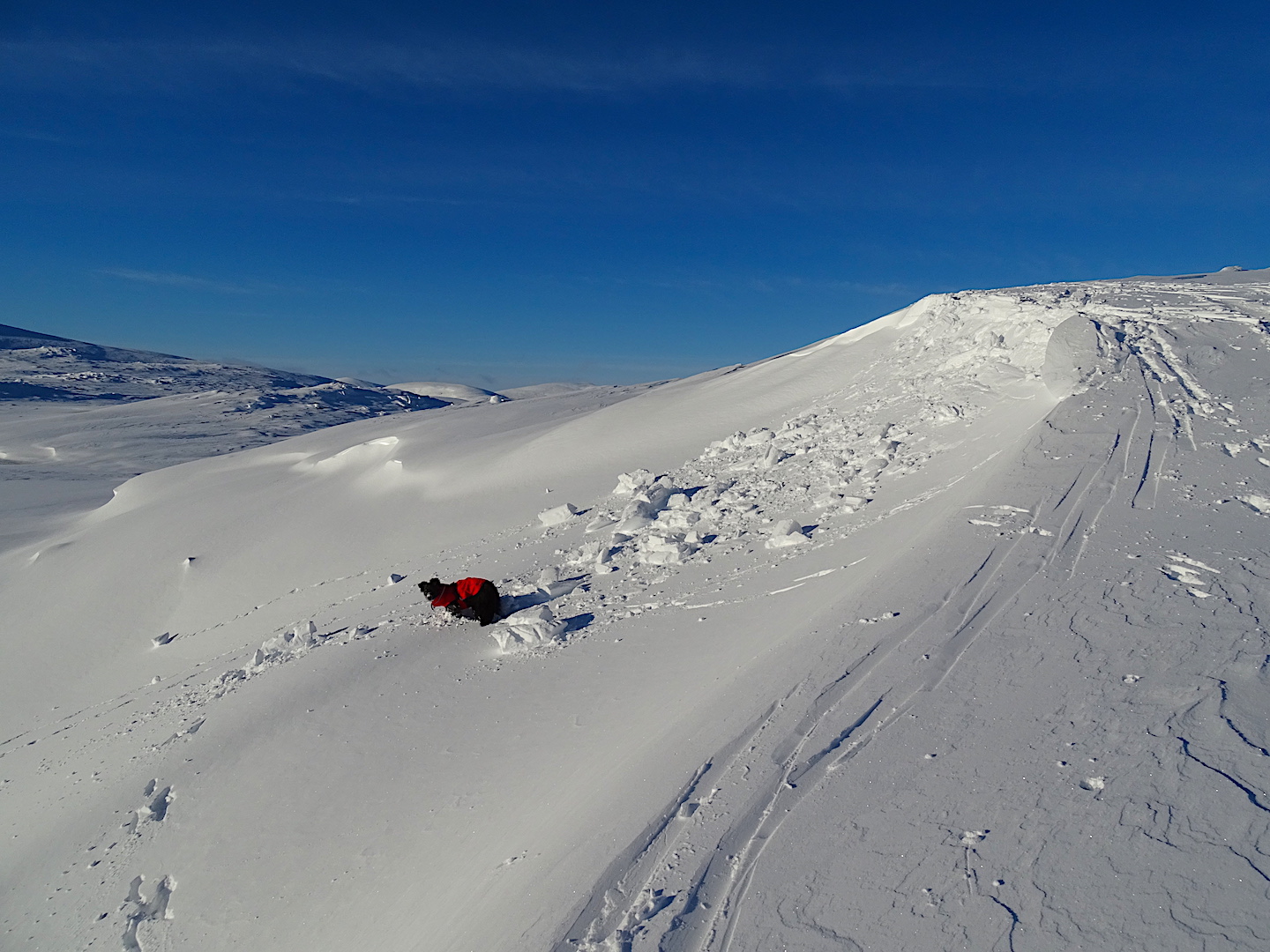
After snowfall late afternoon & early evening yesterday, the precipitation ceased and a very cold night ensued, with strong Northerly winds. The winds eased during the day but the windchill was still significant due to the very cold air temperatures. The snow is cold, dry and unconsolidated with drifts in wind sheltered locations. New wind features have formed. There have been a number of small releases mostly triggered by small cornice failure but some triggered by human loading.
Bit of a change tomorrow with the winds backing around to the South-West, bringing in a rising freezing level. This will reach 1200m on the West coast by the end of the afternoon but only reaching 900m here in the Southern Cairngorms. However it looks unsettled for the weekend and early next week with the freezing level fluctuating up to and possibly over the summits at times.
The photographs below are provided to give a general idea of conditions and possible hazards in the mountains at present.

General snow cover is gradually improving in the area. Taken from Carn nan Sac, looking towards Glas Maol on the right with masts on The Cairnwell just right of centre.

Small wind features developed overnight due to snowfall and strong winds. Cold, dry & unconsolidated powder snow.

Same location a few minutes later. Fragile wind features cannot support weight and failed under ski cut.
Comments on this post
Got something to say? Leave a comment


