It’s getting complicated!
24th February 2017
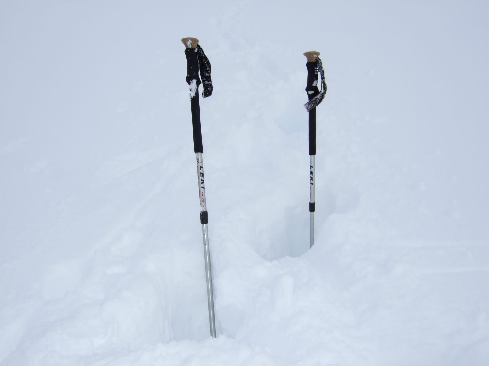
Light winds today made for a pleasant change however the cloud seemed determined to hang around so very poor quality photographs were taken. In the wrong location today better progress was made crawling on hands and knees rather than trying to trail break in thigh deep snow, as the photo below tries to depict – those poles are in at least 80cm of soft snow!
We are just about to enter 24 hours of complicated weather starting with six hours of snowfall on strong winds, followed by a rapidly rising freezing level, rain and gale force winds. We will undoubtedly have some natural avalanche activity as all the recent deposits become destabilised: Please have a read of the area report if you are going out tomorrow. Don’t forget about the danger from what’s above you or put yourself into a terrain trap. The winds were quite strong yesterday afternoon so exposed locations have been stripped of snow making them a better option than confined locations such as gullies and steep burn lines.
Eventually things will start to settle down as the freezing level lowers back down again – wet surface layers will refreeze and become firm. Full winter kit required at higher altitudes.
Comments on this post
Got something to say? Leave a comment


