Stormy Night
5th April 2026
Heavy precipitation late afternoon and early evening, initially fell as snow to glen level. Then as the freezing level did a rapid spike up to around 1100 metres, precipitation fell as rain at most elevations with snowfall only on the higher summits. This precipitation all occurred on a SSE or SE wind. Then as the freezing level nose dived down again the winds picked up to storm force North-Westerly, with average wind speeds of nearly 70mph recorded on The Cairnwell at 933m. Gusts were nearly 90mph. With the wind direction change, precipitation became much more isolated with only intermittent snow showers pushing across to Lochnagar. Although more frequent and heavier snow showers were reaching the northern and western boundary of the forecast area. Have a read of the North Cairngorm report if accessing these mountains from Deeside. The winds were still very strong today with some powerful gusts hitting me at 900 metres. Interestingly there was no drifting taking place, except when it was actively showering. I suspect that the storm force winds overnight stripped everything that was available to move, leaving nothing in the ‘reservoir’ today. Steeper wind sheltered locations are holding windslab and cold conditions overnight mean that the consolidation rate will be slow.
Today was initially set as the last day when we issued a hazard report but due to the recent snowfall, we are going to post another hazard report tomorrow. Today will be the last day for mountain photos from this area but the North Cairngorm forecast team will continue to post updates this week.
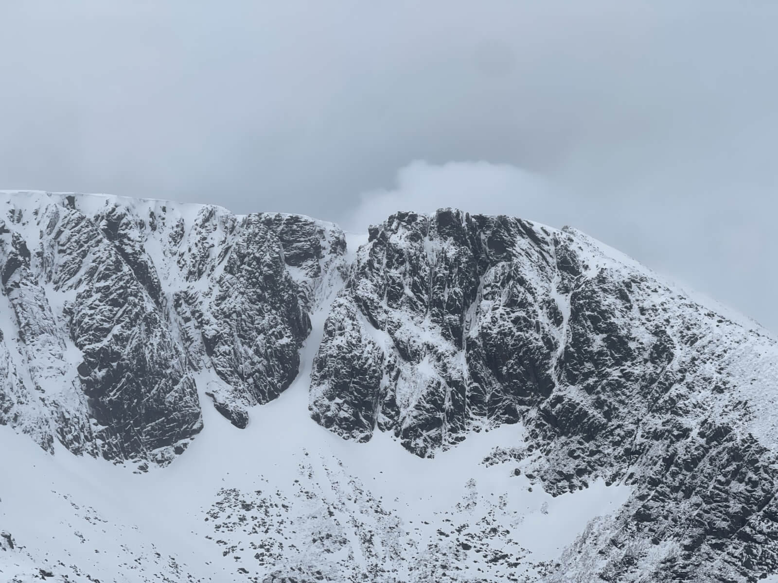
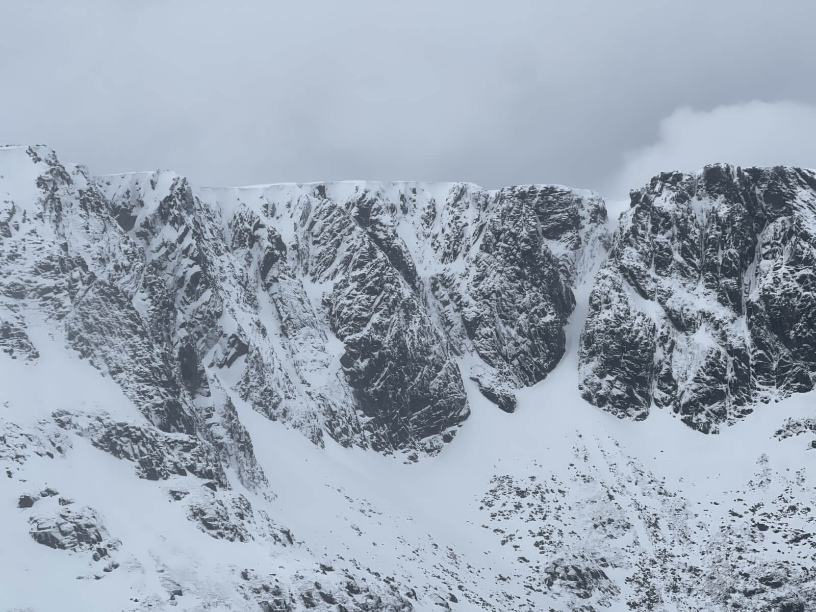
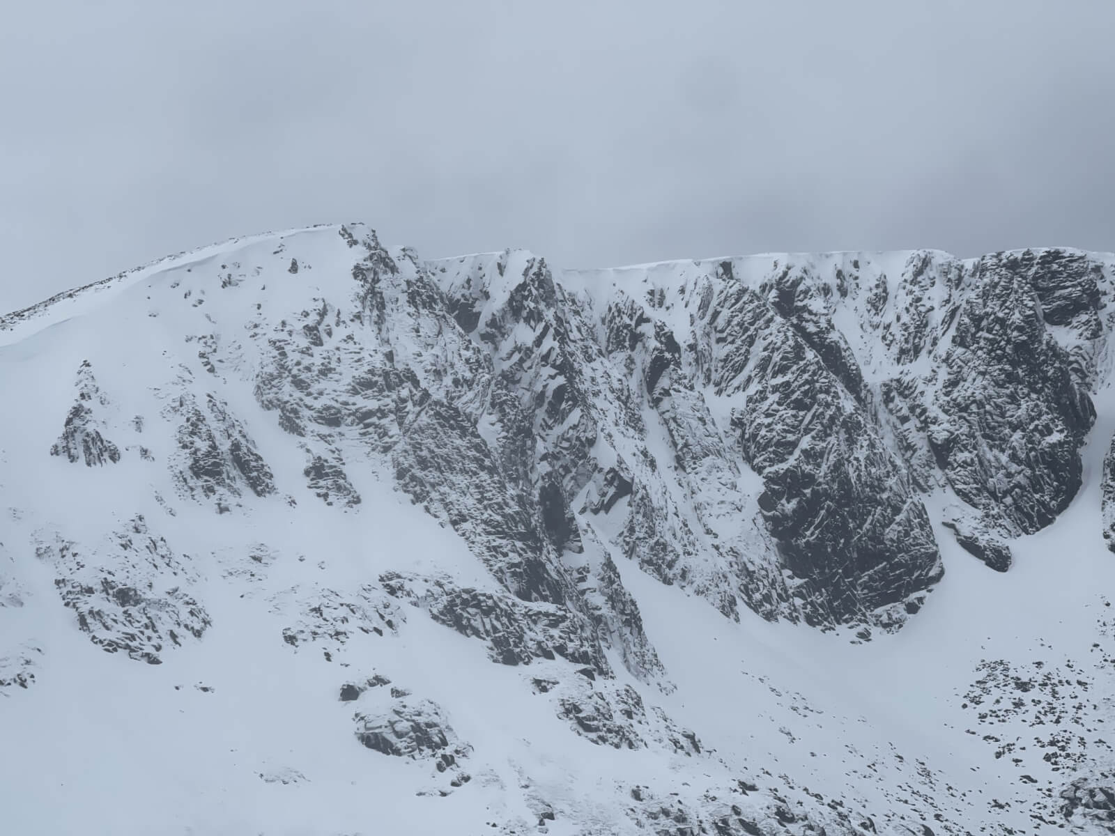
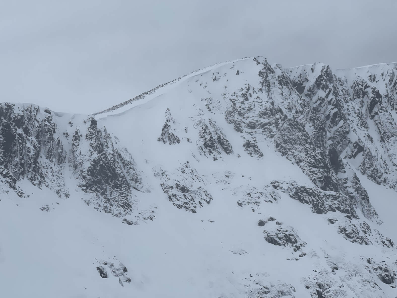
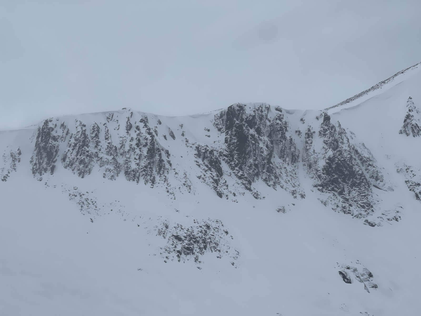
A selection of photos from Lochnagar today – West Buttress through to the Southern Sector.
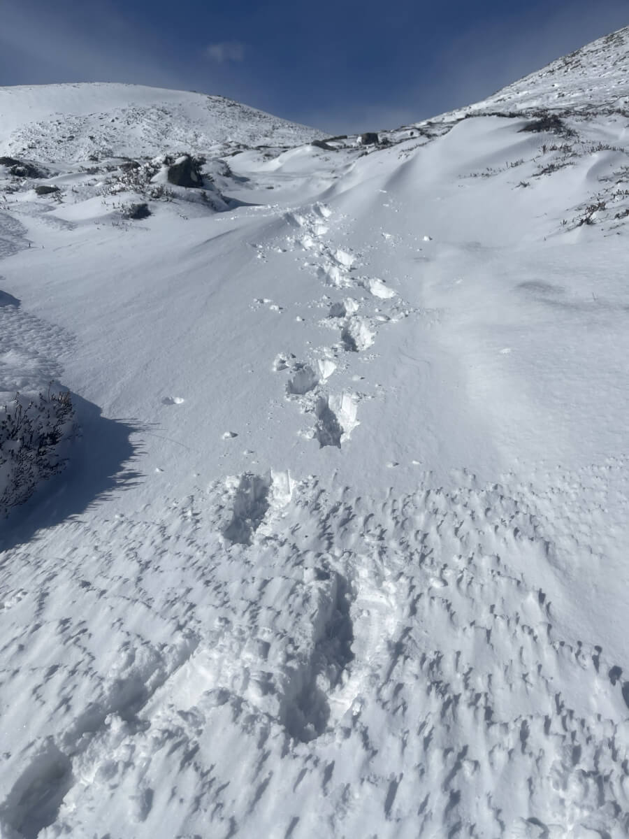
Some limited trail breaking required in places
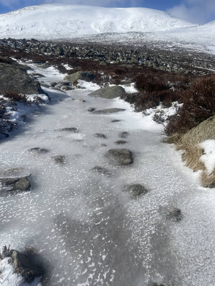
Very icy paths this morning
Comments on this post
Got something to say? Leave a comment


roger
5th April 2026 8:07 pm
Many thanks guys as always for your efforts and commitment. At least we got a real winter this time!
Keith
5th April 2026 11:33 pm
Thanks for all the updates this season. Brilliant daily reading!