A touch of spring
31st March 2026
The freezing level rose above the summits last night and Cairnwell weather station recorded 3 degrees at 930 metres. The continued warm temperatures today gave a real feel that spring will not be far away. Certainly the snow pack is being influenced by the spring like weather, the recent unstable windslab above 800 metres on mainly Easterly aspects is really improving in stability.
However, continuing warm temperatures overnight and into the morning will see a transition from a windslab problem to a loose wet snow problem, mainly on the surface layers. Recently developed cornices will continue to be weak and prone to collapse if they haven’t dropped off already. Older cornices will also be affected by the ongoing warm weather. Today, the larger snow patches on Westerly aspects are mostly scoured and stable with a soft surface layer that skiers and walkers alike will appreciate.
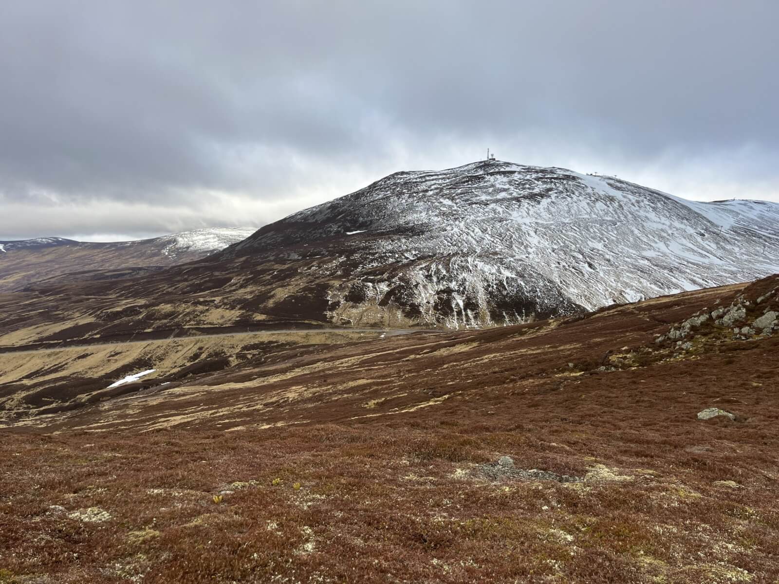
The Cairnwell showing a thin cover of recent new snow.
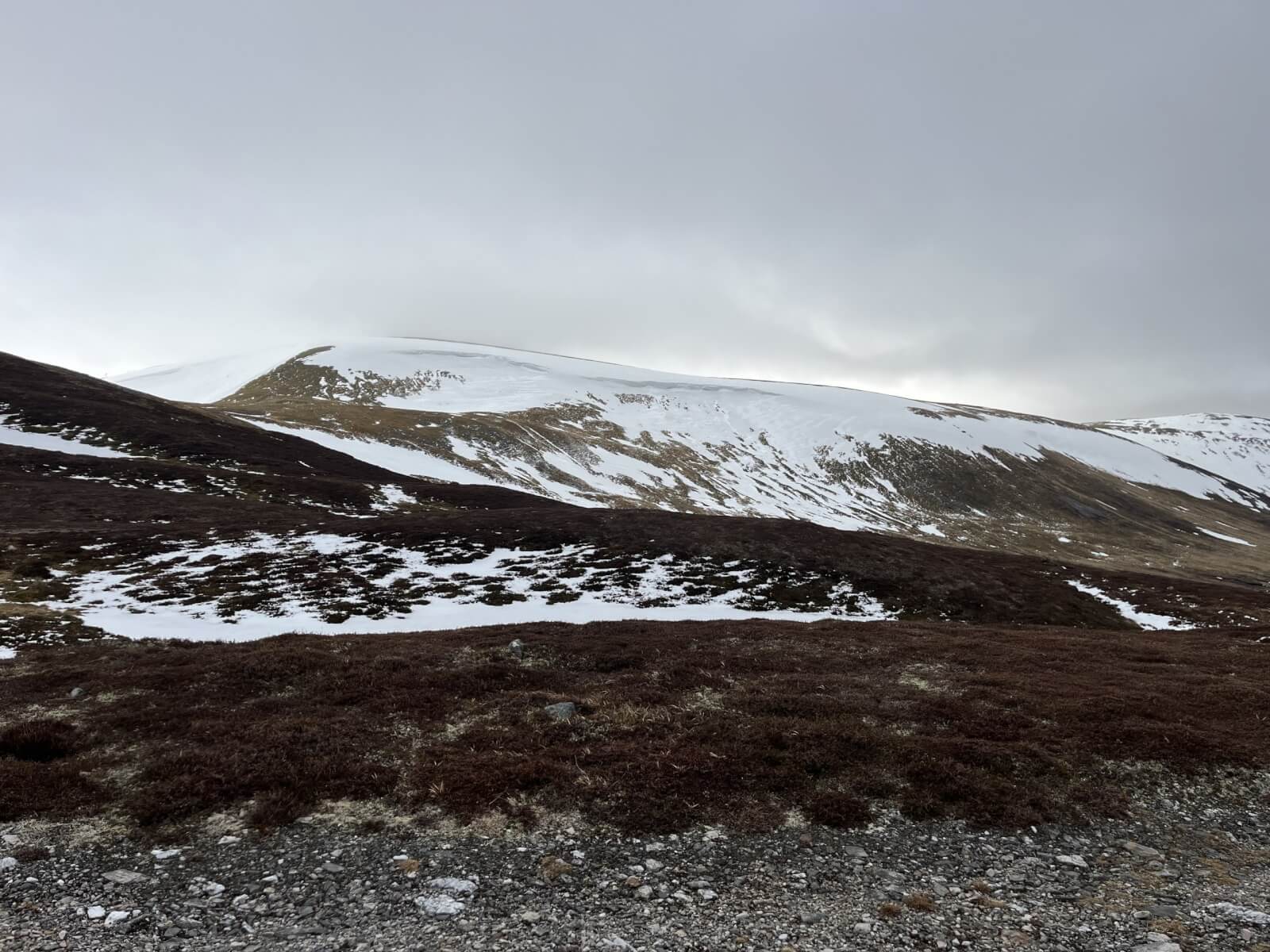
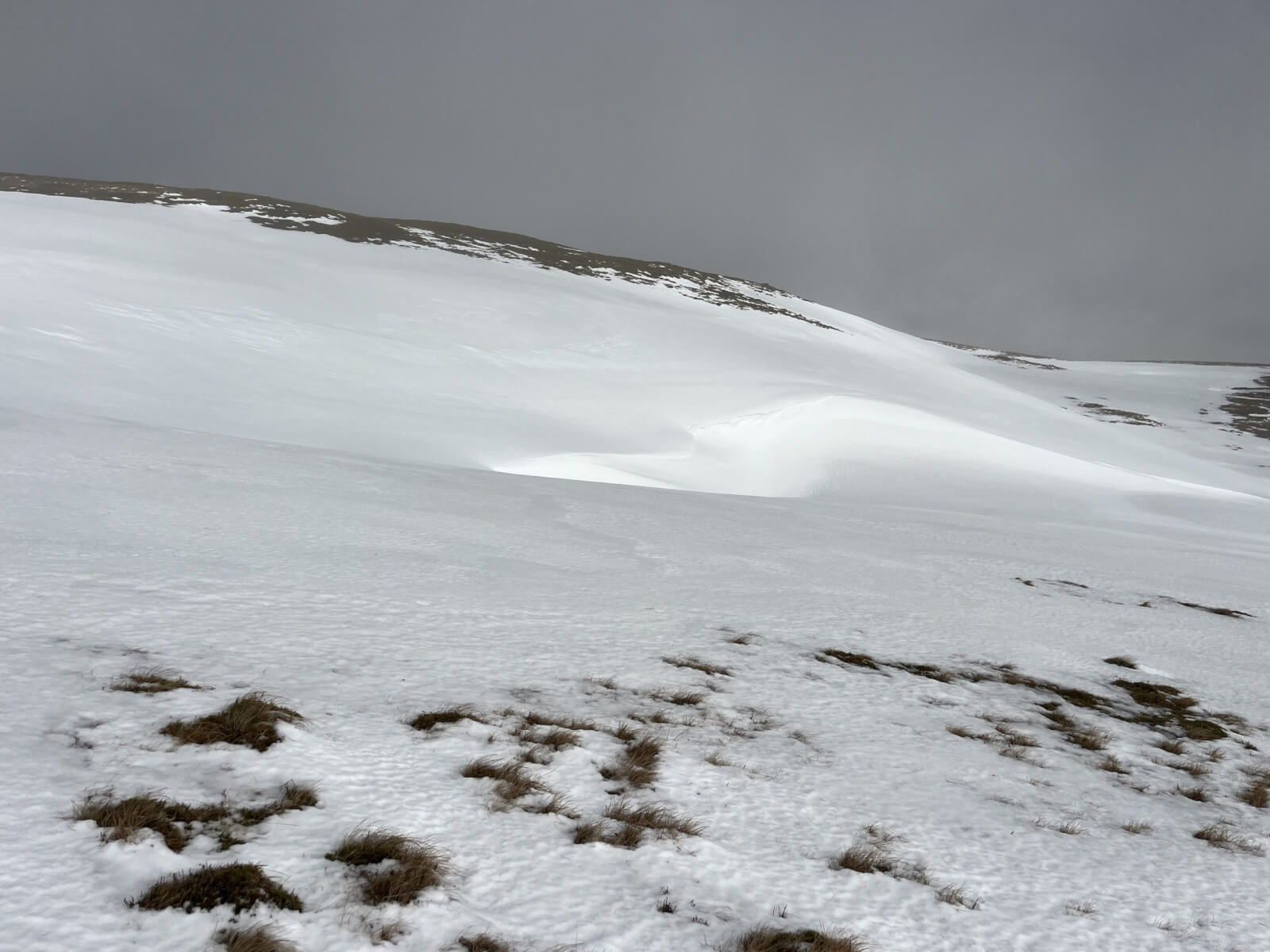
Large patches of snow on Westerly aspects of Glas Maol.
Firm older snow was soft on the surface.
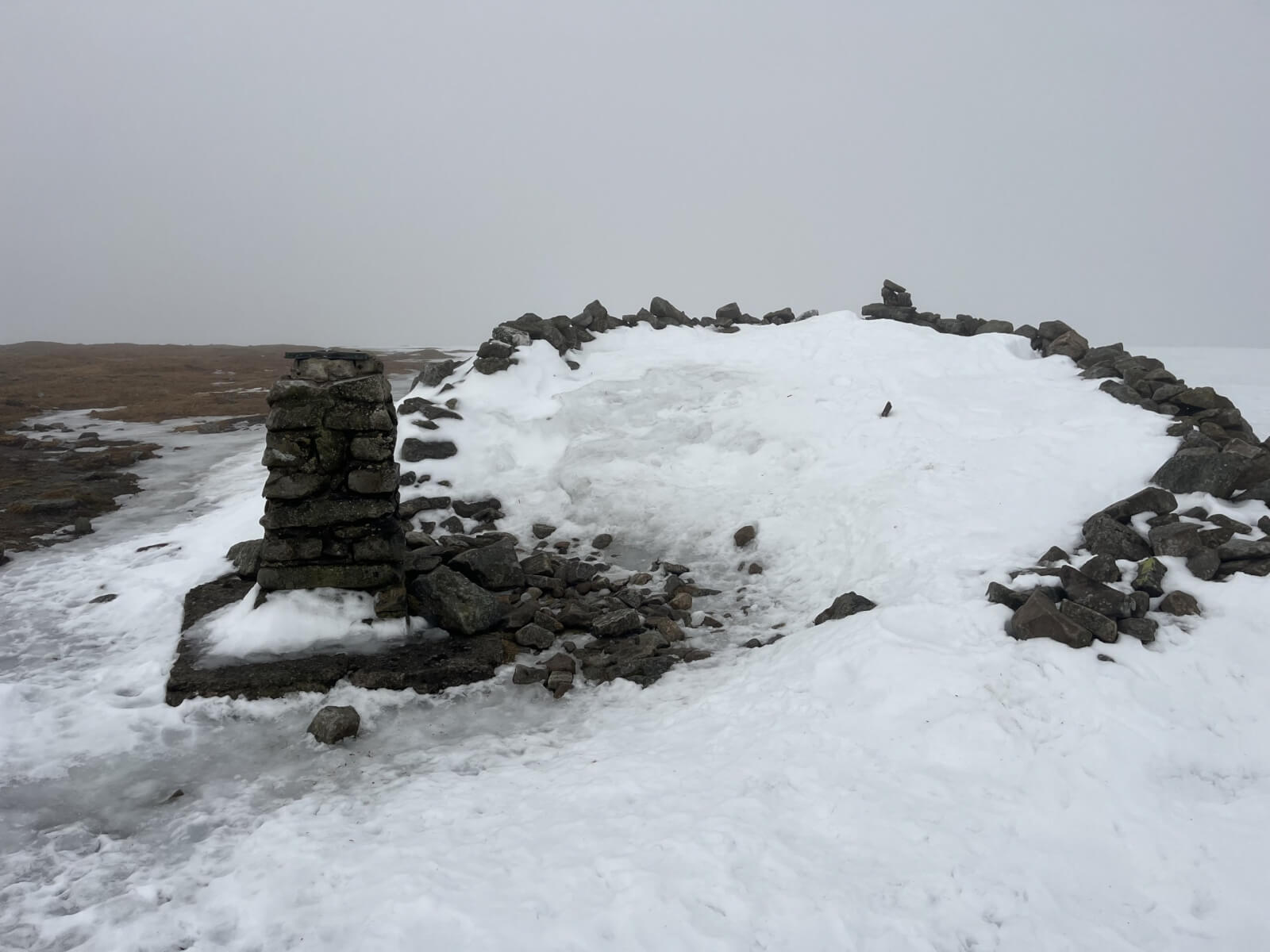
Glas Maol summit. Large areas of bare ground on the plateau.
Recent snow drift accumulations on an Easterly aspect around 900 metres.
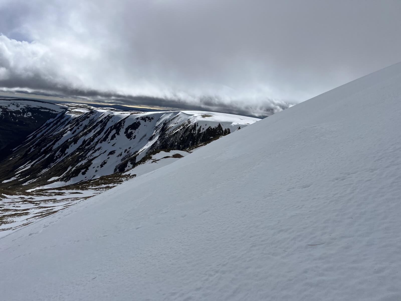
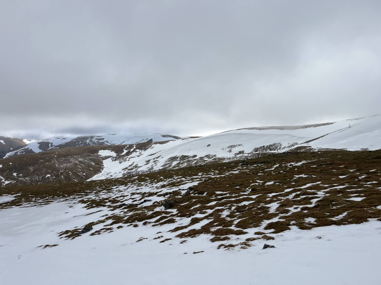
Snow cover looking towards Caen Lochan Glen.
Comments on this post
Got something to say? Leave a comment