Limited new snow
15th March 2026
Less snowfall than expected but much stronger wind speeds. The night stayed clear until about 7am when the first spots of rain arrived in the glen. On the hill it was light snow showers during the morning above 750 metres and then a brighter afternoon. Gale force winds with some strong gusts and drifting snow. The freezing level fluctuated throughout the day between around 850m and 950m, with the snow thawing at lower levels. Best snow cover is above 900m but burn lines are useful for skiing to lower levels.
Stability concerns would be for the redistributed new snow which will have formed unstable accumulations in steeper wind sheltered locations such as the tops of gullys and around sharply defined corrie rims on our higher mountains, more especially north of the River Dee.
Further light snowfall expected throughout the period with a cold night and a gradually rising freezing level that spikes right at the end of the afternoon.
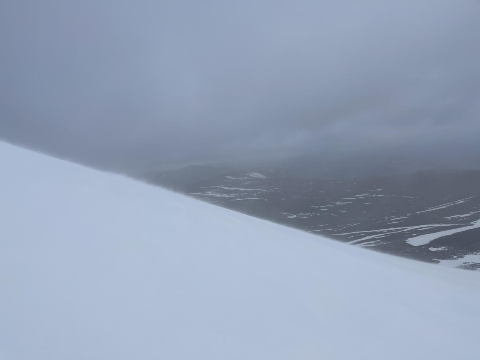
Drifting deposits on the North aspect of Carn an t-Sagairt Mor (1047m)
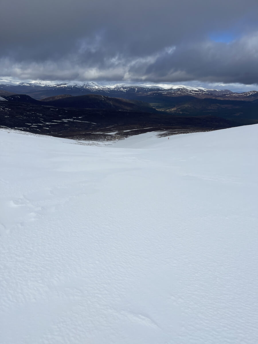
Burn lines holding good snow. Useful for climbing /descending to lower levels on skis.
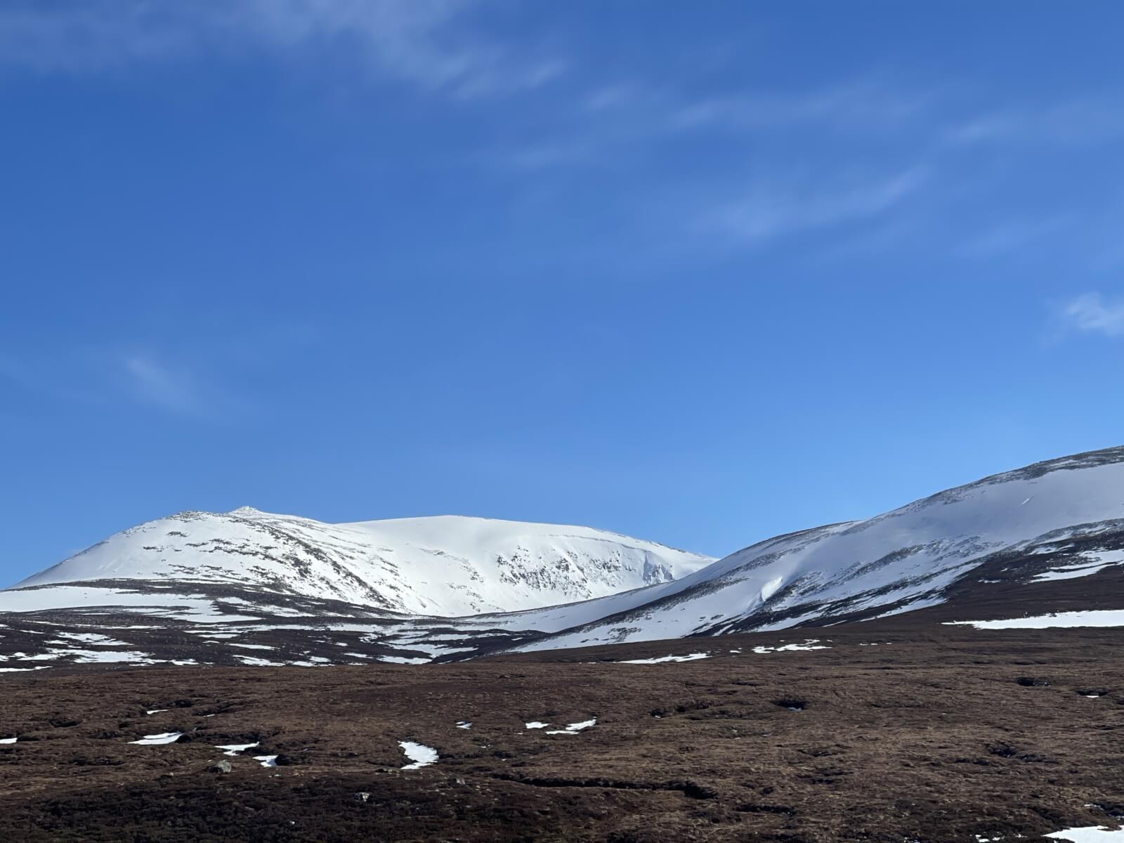
West aspect of Lochnagar catching some sun in the afternoon.
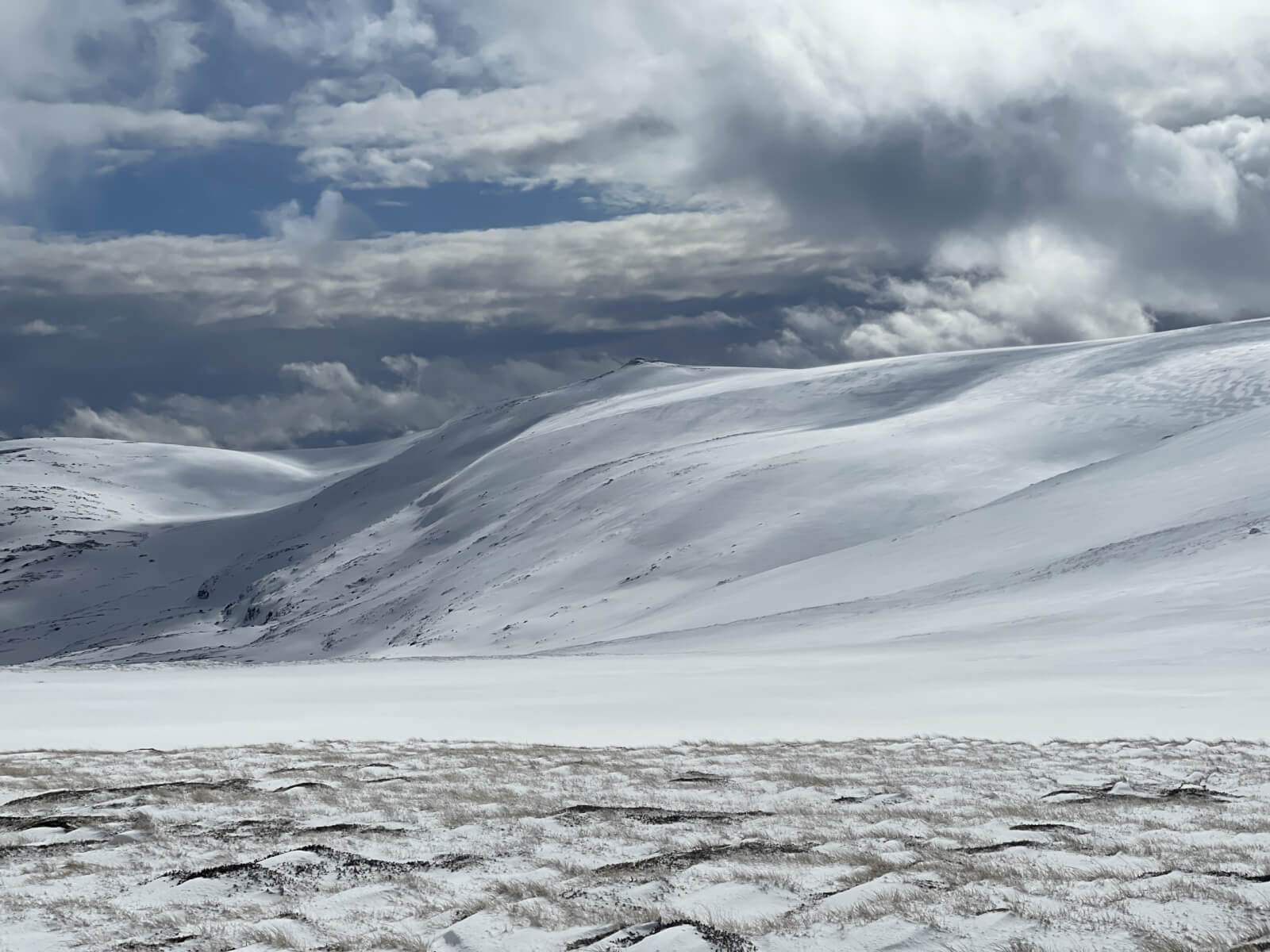
View SE from the t-Sagairt Col. Good cover towards Fafernie and Cairn Bannoch.
Comments on this post
Got something to say? Leave a comment


