New Snow – No Viz
4th February 2026
Snowfall yesterday and overnight was lighter today but due to the colder temperatures and the gale force winds, deposits continued to drift throughout the day. Visibility was very poor making mountain travel pretty difficult – with shifting snow around your feet, it was very easy to fall over the frequent wind features that are present.
There will be a short lived rise in the freezing level to 900m overnight for a couple of hours before it lowers right back down to 500m later in the day. We have been forecast steady snowfall right through the period from late evening onwards. This combined with the strong winds will result in further windslab development in steeper wind sheltered locations. It is likely to be a pretty unpleasant day in the mountains.
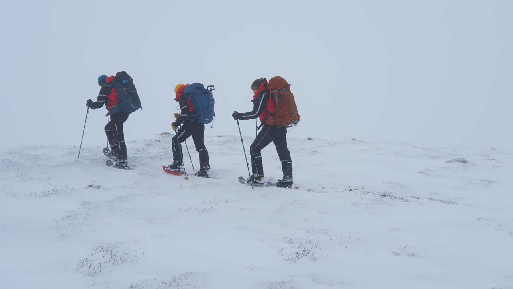
Snow shoes are proving useful for mountain travel at the moment. Thanks to Kenny from Braemar MRT for the photo
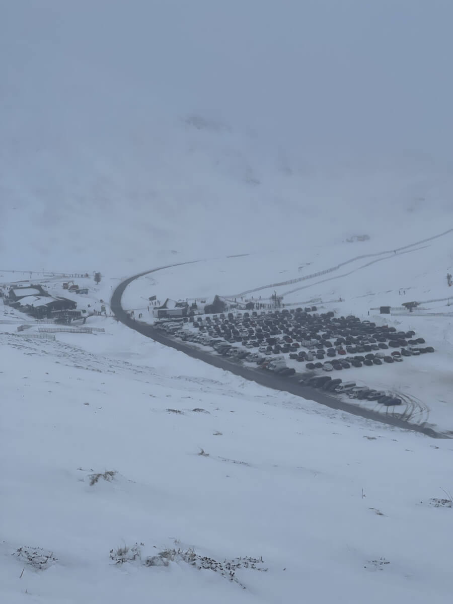
Nice to descend out of the clag and be able to focus on something
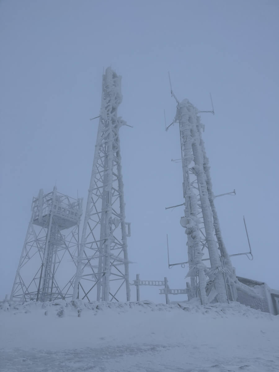
Heavily iced up structures on The Cairnwell (933m)
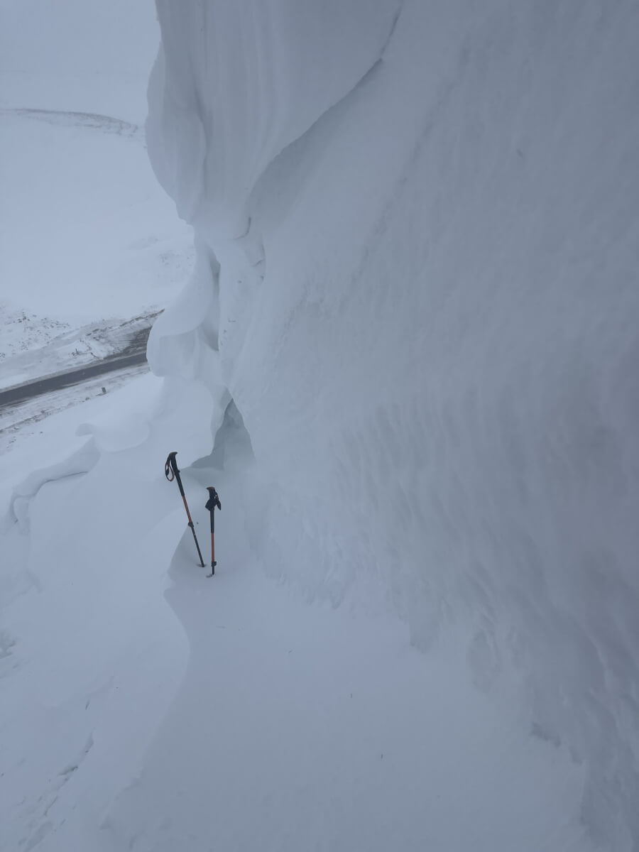
Large wind features even at lower elevations – This one at around 700m.
Mid week skiers enjoying the fresh snow.
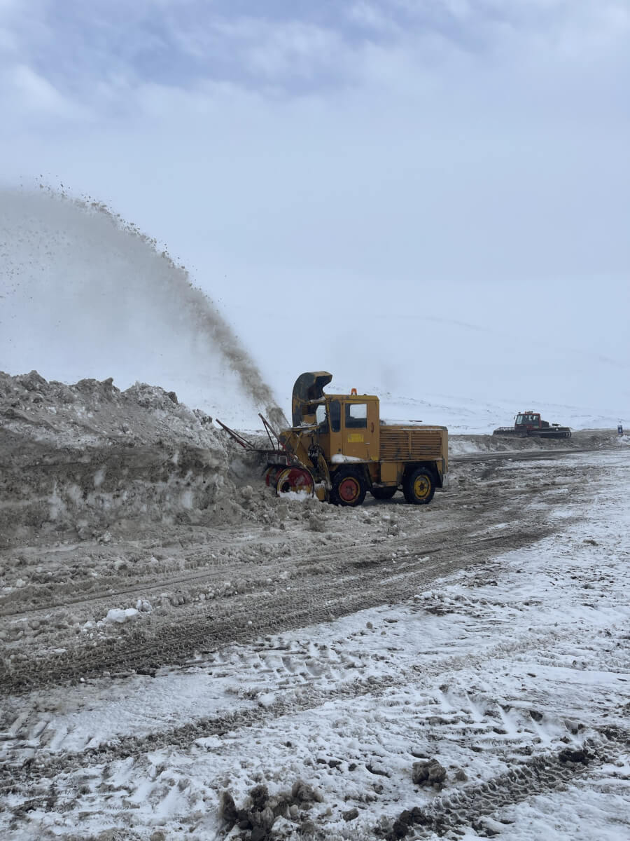
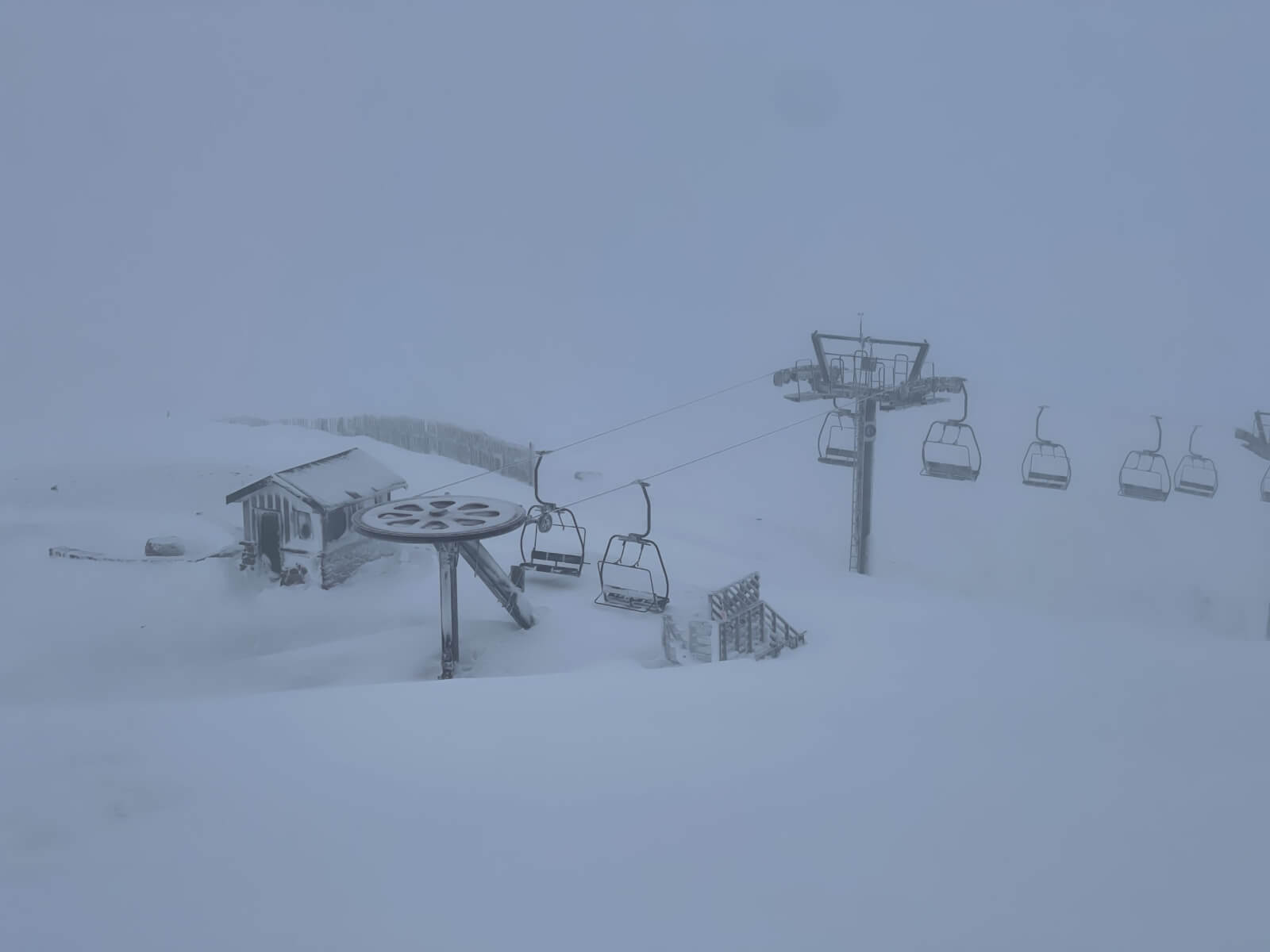
Glenshee Ski Centre working hard to clear snow from the carpark
Comments on this post
Got something to say? Leave a comment


