Lochnagar – no views!
1st February 2026
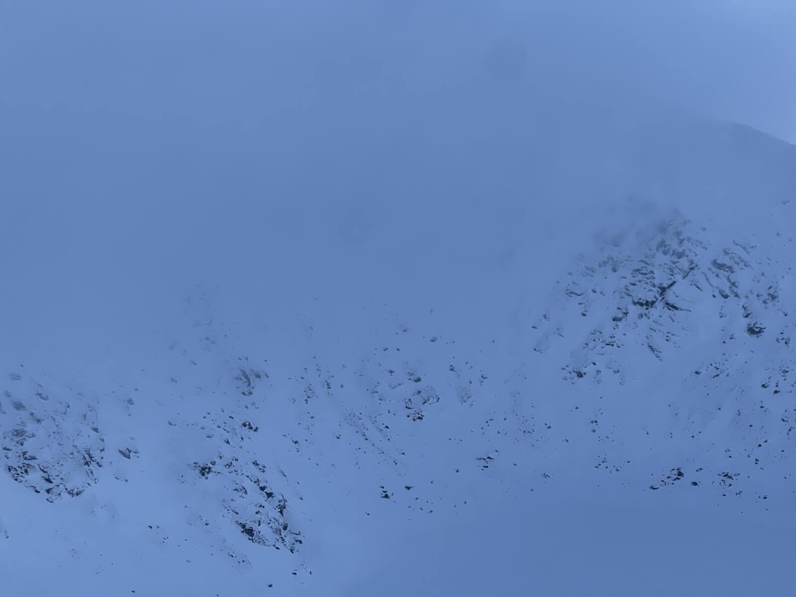
With lighter winds and precipitation amounts forecast, we took the opportunity to get into Lochnagar today. This involved no snow, then deep slush with free water running down the track, deep wet snow, eventually becoming drier and then firm wind scoured snow. When we were out, the visibility was mostly very poor, especially at the top of the cliffs where it was very difficult to see the corrie rim – but cornices were definitely present above the Southern sector that has a NW aspect. The cloud kept trying to clear and I suspect that those going for a later start were more likely to get a view.
The freezing level has gently risen to about 1000 metres and a good deal of consolidation has taken place in the snow. Conditions will continue to improve as the freezing level lowers back down to 900 metres overnight and then 700 metres by the end of the afternoon. A firm crust will start to develop and the snow will become quite icy in places.
More snow has been forecast and mountain conditions will deteriorate from mid to late morning as the snow becomes heavier and the SE winds gain in strength again. Fresh windslab will start to form and fragile cornices develop later in the day.
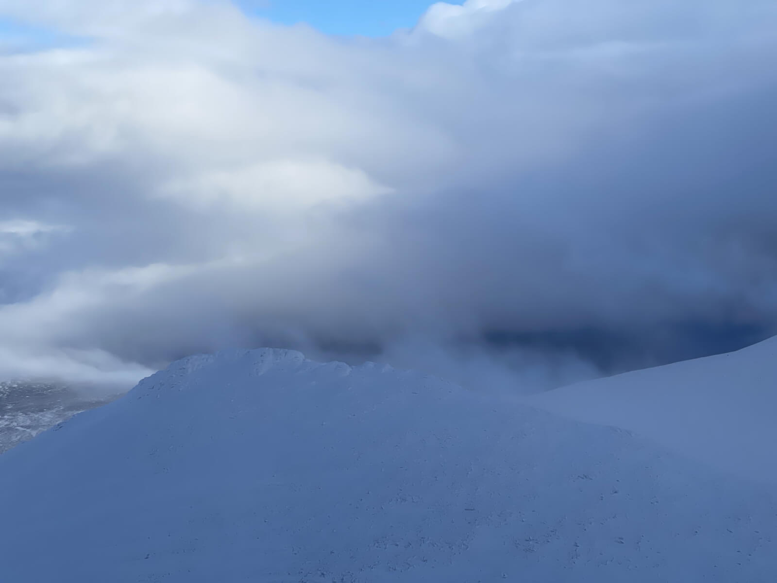
As good as it got. Lochnagar bottom right, Main cliffs in the cloud top left. Approach slopes in view.
Snowy Meikle Pap just coming out of the cloud.
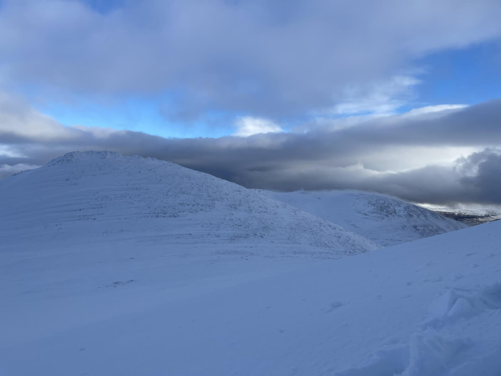
Meikle Pap on left, Conachcraig behind.
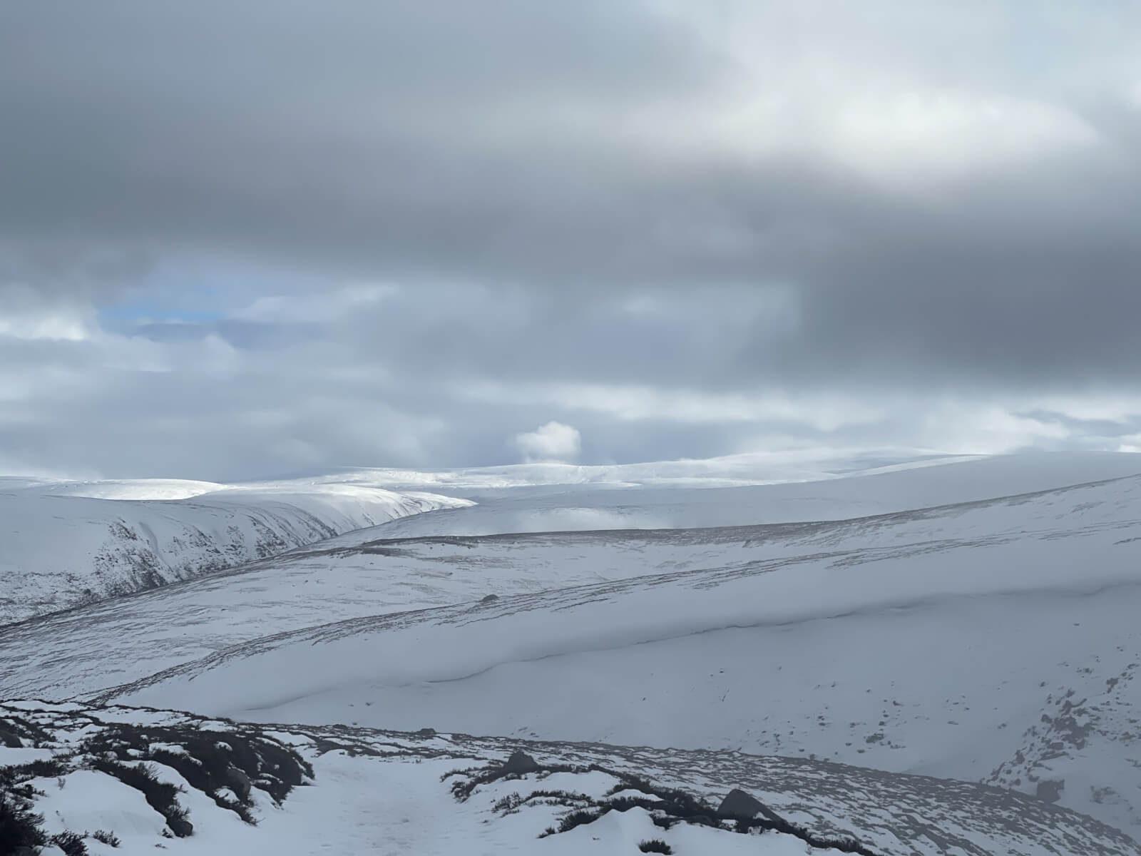
Improving visibility during the afternoon.
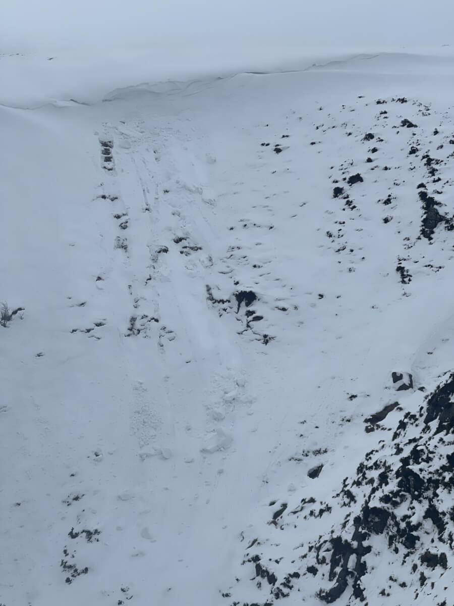
Cornice debris at 650m
Comments on this post
Got something to say? Leave a comment


Angus
1st February 2026 11:13 pm
We had a great time up on Lochnagar today. No view from the top but the ice was good and there were some excellent views coming up and down. We’ve been reading the blog and think we may have bumped into the author today. Thanks for the tips!
alice
2nd February 2026 8:58 pm
how are conditions on black spout gully anyone know ?
scairngormsadmin
5th February 2026 4:35 pm
Hi Alice. The problem just now in the current E/SE airflow is the visibility with snowfall and wind a close second. Difficult to journey safely through complex terrain when you can’t see anything. Almost certainly there has been avalanche activity, particularly from Left Spout. Hopefully we’ll get some stunning days out soon.