Becoming cooler
25th January 2026
We had precipitation throughout the period, mainly falling as snow above 700 metres, where conditions were quite damp. Above 800 metres the snow was drier, with persistent drifting. Large wind features are fairly common and there are some deep drifts around with trail breaking required above 600 metres. Wind exposed slopes have been scoured and are seriously firm and icy – totally unforgiving terrain for a slip or trip. Fragile cornices are present and evidence of small collapses were found – poor visibility hampered observations again. General cover is gradually improving.
Further light snowfall for the next 24 hour period. Freezing level is lowering to 600 metres so we are expecting today’s wet surface layers to start firming up. Fresh unstable windslab forming at higher elevations so careful route choice required.
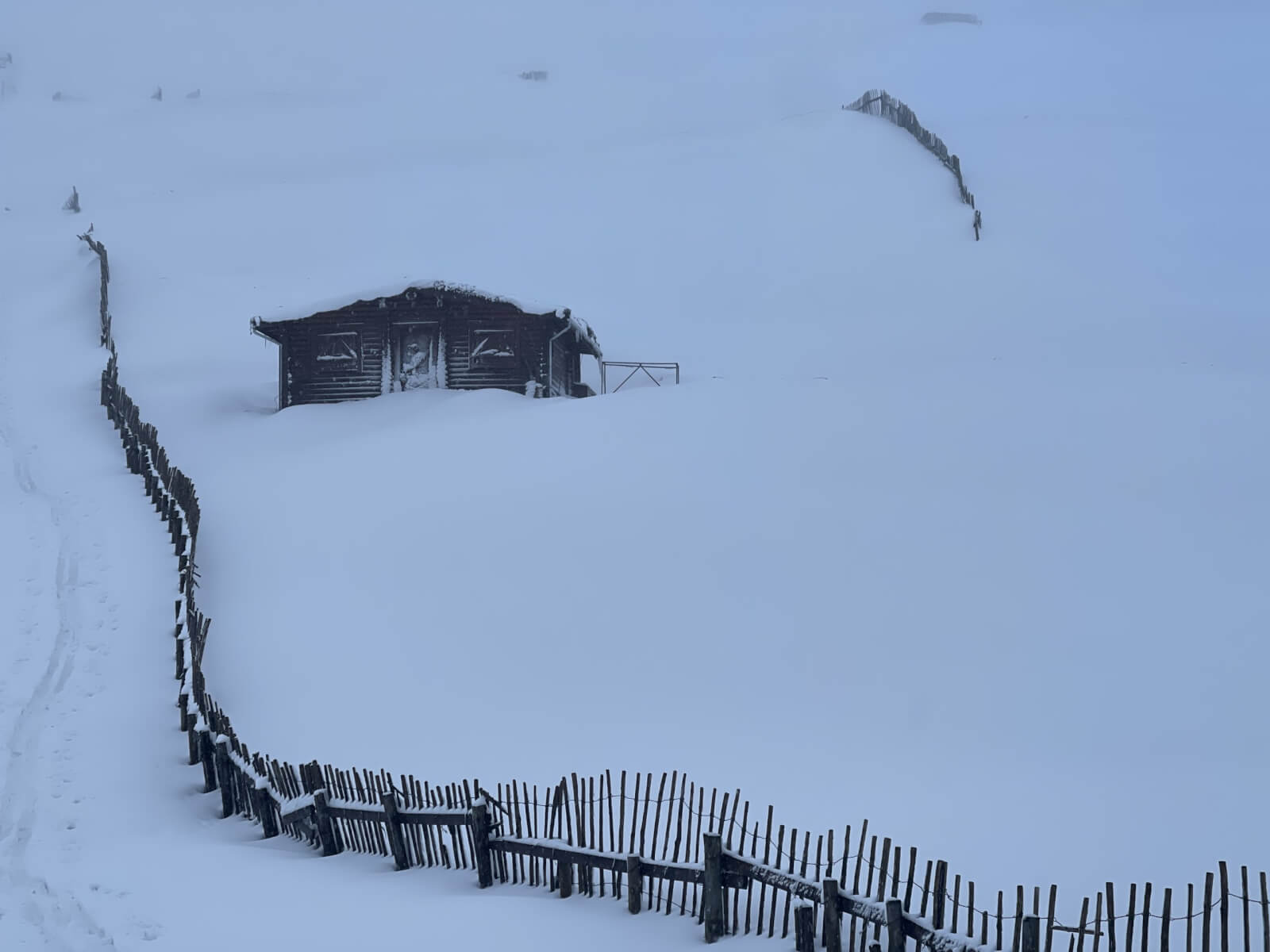
General cover is improving with snow becoming more widespread
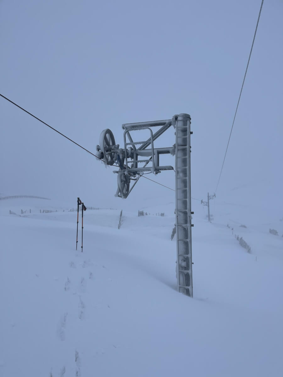
Deep snow around – most of the pylon is buried.
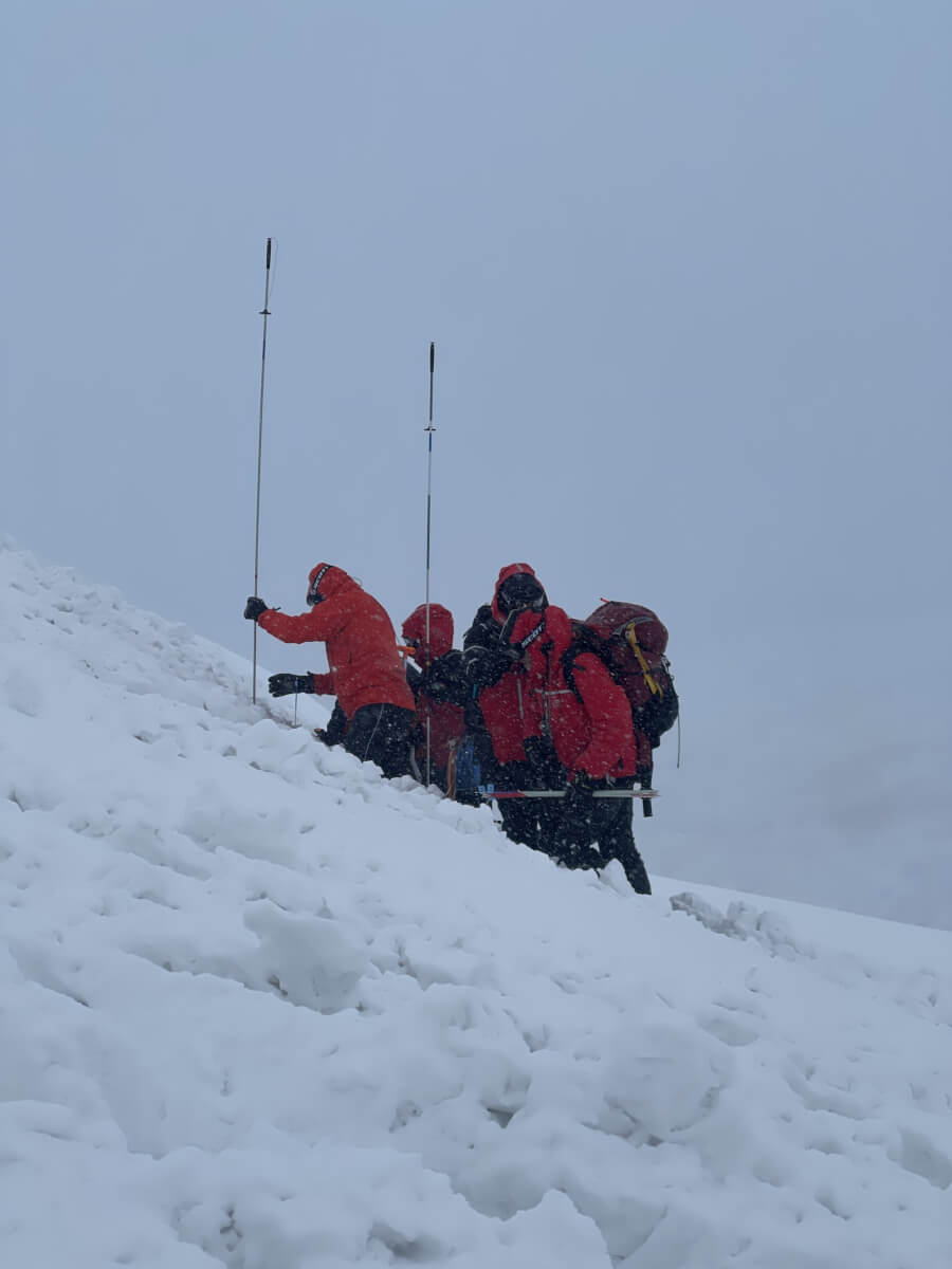
Training! Braemar MRT training for an avalanche incident.
Comments on this post
Got something to say? Leave a comment


Scott Whitehead
25th January 2026 5:09 pm
Thanks for all your work up there. It’s certainly no time for a novice up there currently – the prospects when the weather clears are looking superb, best for years.
scairngormsadmin
26th January 2026 4:31 pm
Wise words! Let’s hope it all falls into place.