Snow forecast
21st January 2026
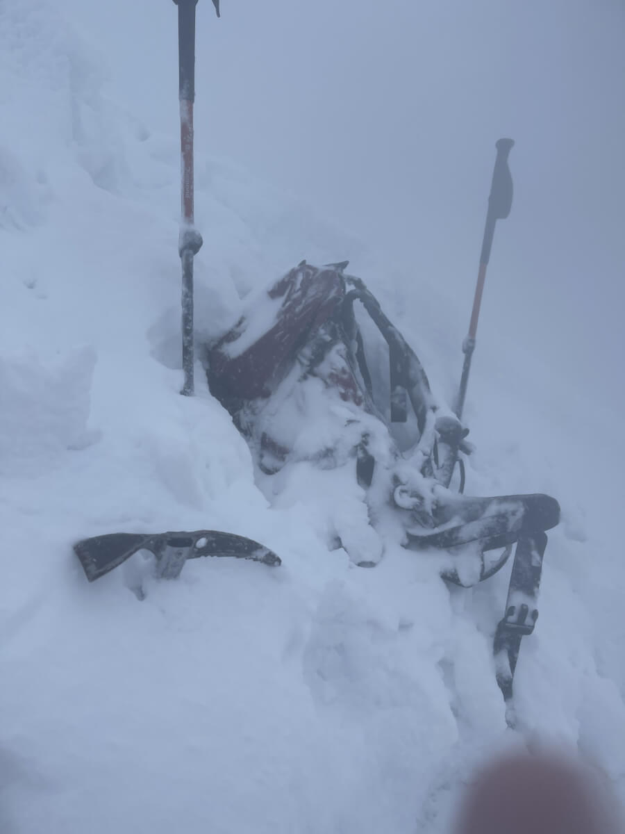
Very stormy conditions overnight with gusts of 92 mph recorded on The Cairnwell. This eased to a more manageable 30-40 mph average this morning, increasing later to 50 mph. Wet throughout with a slightly drier interlude during the middle of the day, although everything was soaking wet by this point anyway! It was slightly warmer than expected with zero degrees centigrade recorded at 950 metres at midday. Cairnwell (933m) did drop to -1 centigrade later in the afternoon. So it was wet snow falling above 700m, settling above 850m during the morning and drifting above 900m. Cloud base was at 700m and the visibility was extremely poor above 900m – rolling snowballs over the corrie rim was the technique required to get any perspective on the slope below.
Forecast is for rain overnight, except for on the very highest mountains of the main Cairngorm plateau, where sleet or wet snow can be expected. By daylight the freezing level will have dropped, with snow falling to increasingly lower altitudes. Severe gale force winds throughout – so expect blizzard conditions in the mountains. Fresh windslab forming and fragile cornices developing. Pretty serious and challenging conditions – Sound decision making skills required.
Poor observation conditions with persistent drifting at profile site.
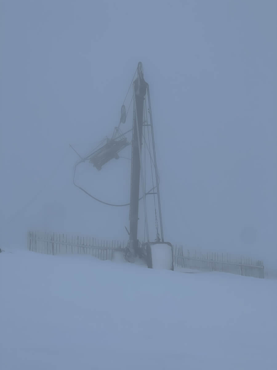
It was great to be able to focus on a solid structure after stumbling around in the white room.
Comments on this post
Got something to say? Leave a comment


