All change!
14th December 2024
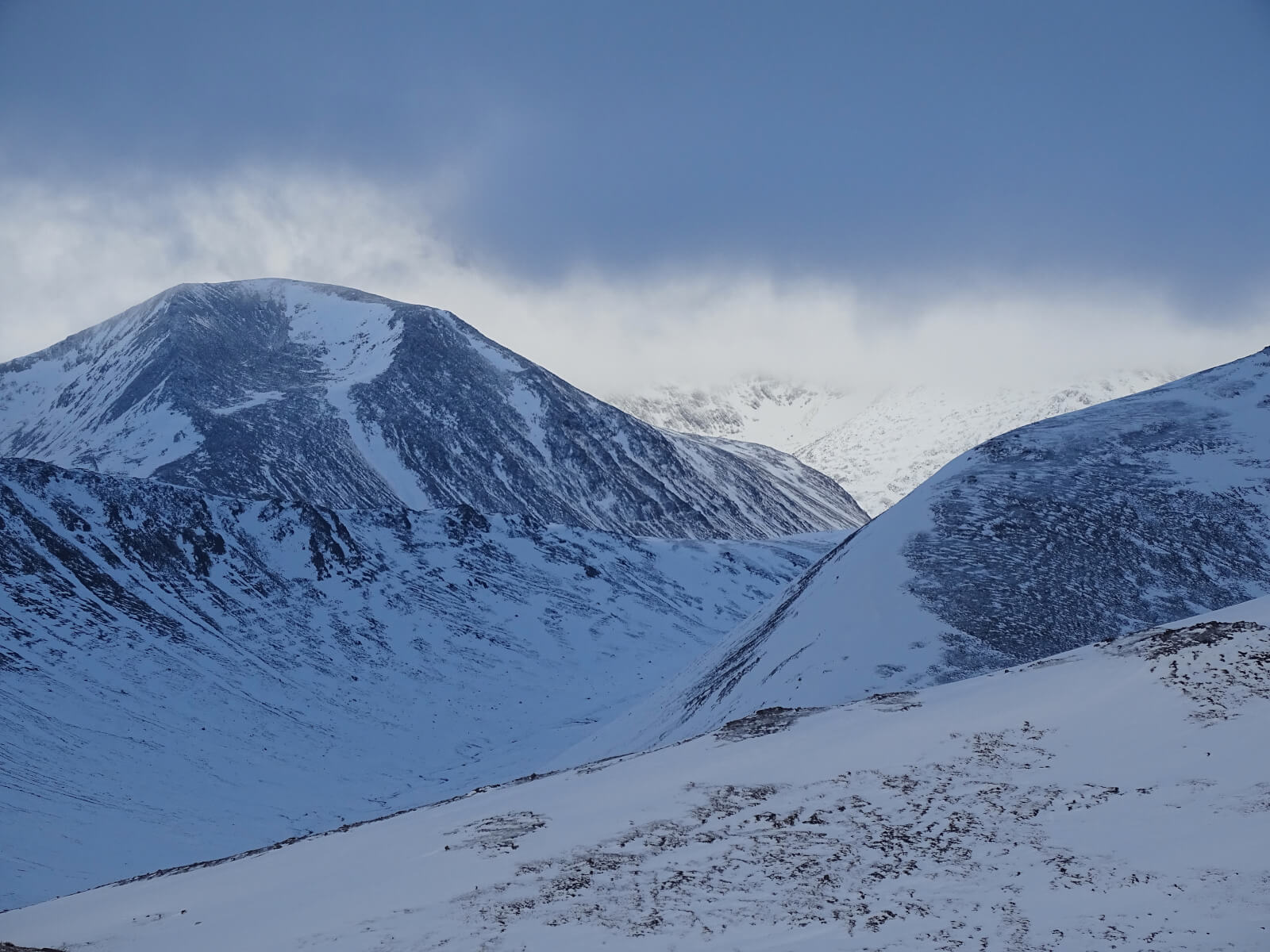
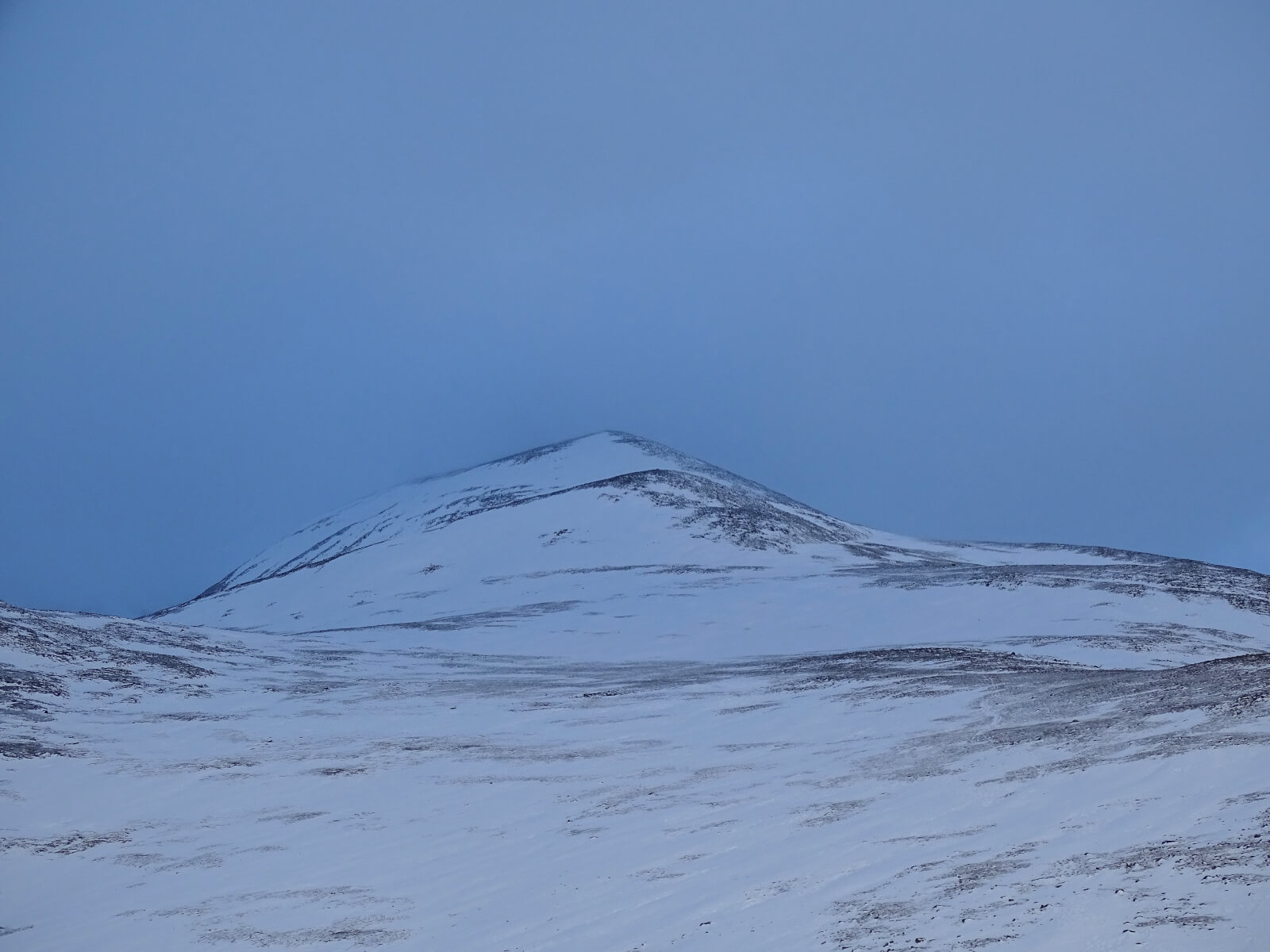
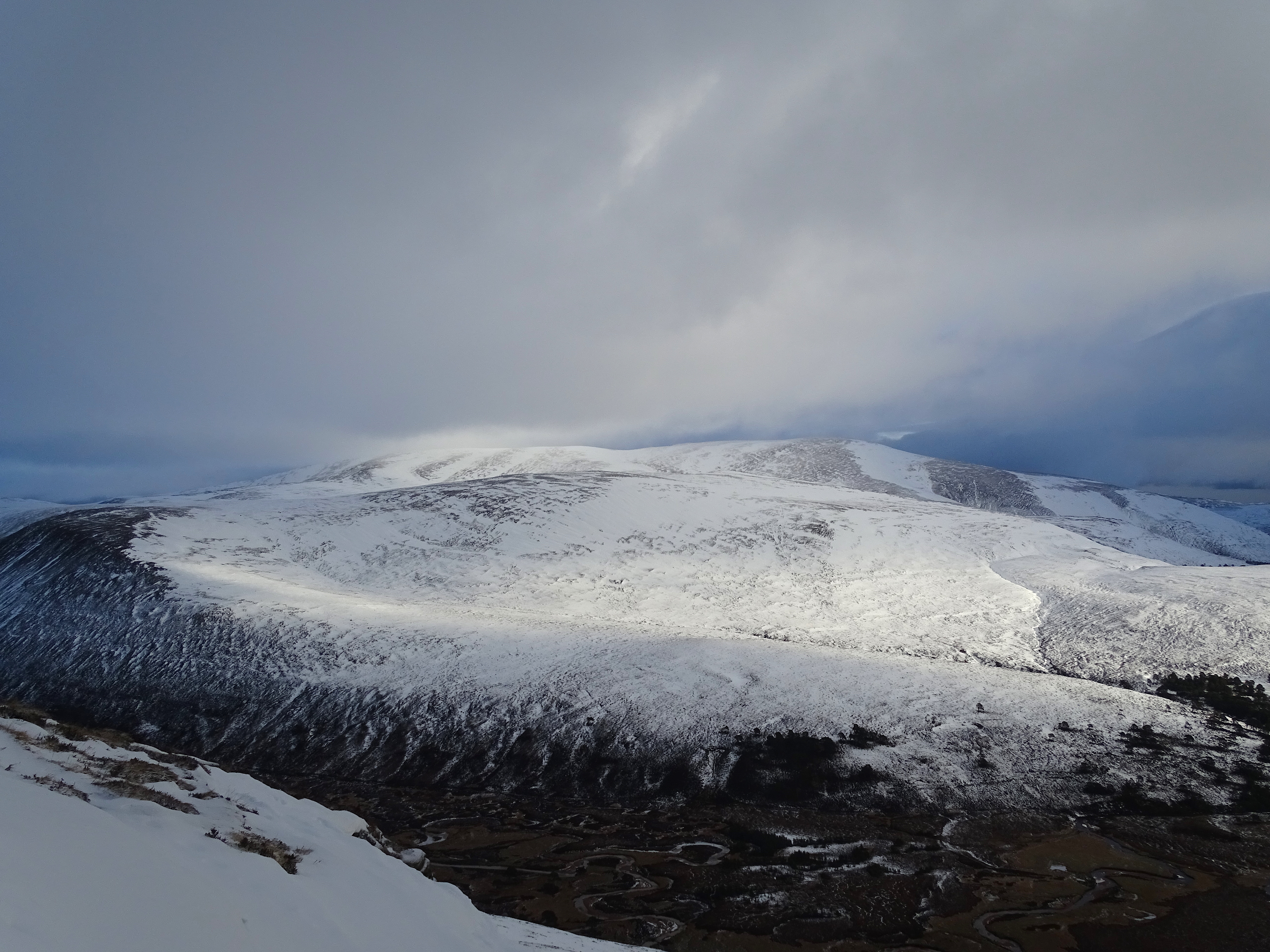
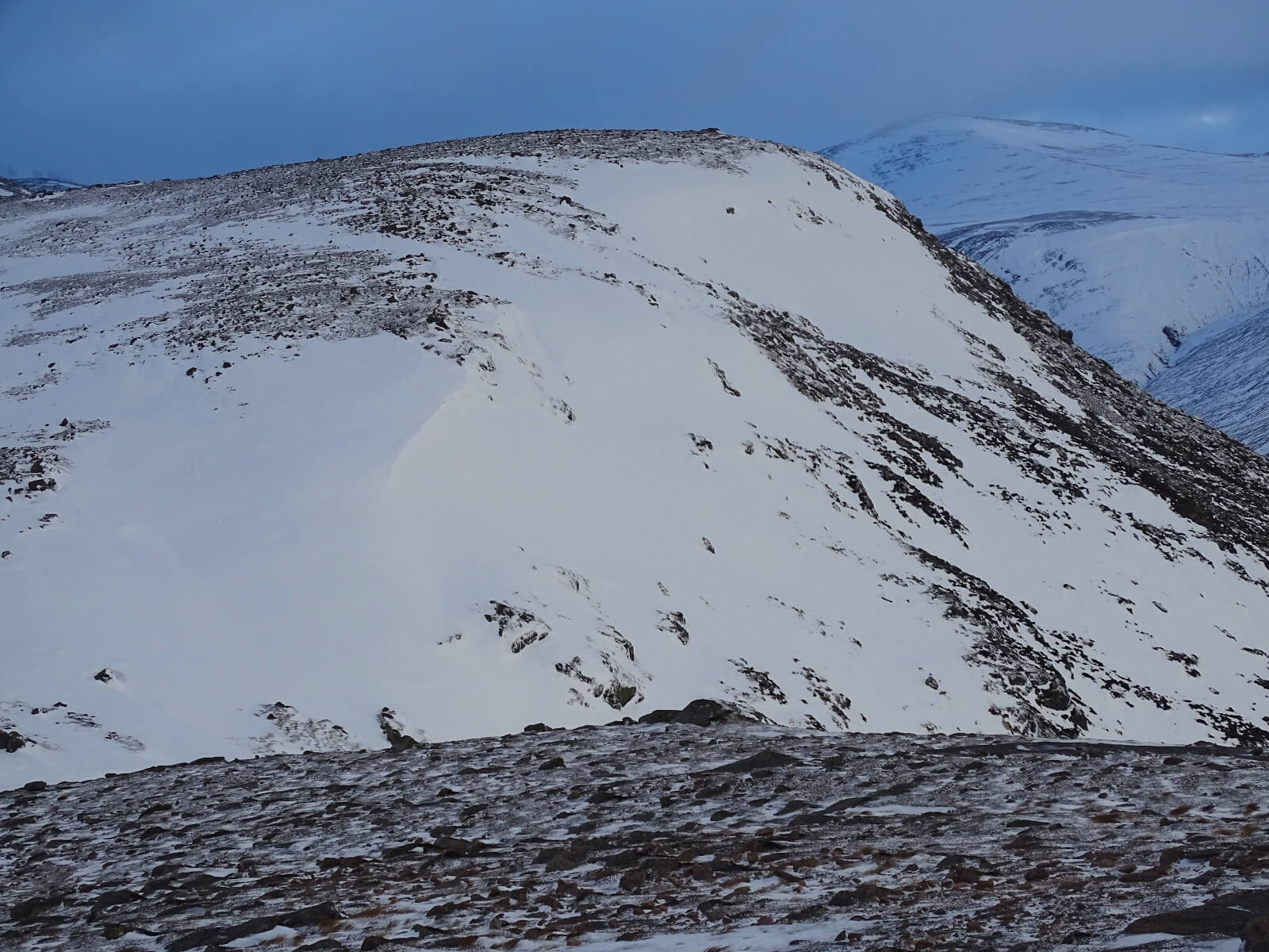
As it is the start of the season we are trying to get around the whole of the area to get a good feel for conditions – Thursday was Lochnagar, yesterday was the hills above the Glenshee ski centre and today I went into Derry Lodge and headed North from there. Cloudy on the summits with a cold wind – but dry with generally good conditions. Very icy underfoot from fairly low elevations. As you will see from the photos – exposed locations have been scoured with some deeper accumulations in sheltered locations. The snow mainly exists above 600 metres but there are smaller patches below this altitude. The freezing level was starting to slowly rise during the afternoon. This rising trend will continue and accelerate until the freezing level settles well above the summits this evening.
Sunday has been forecast to be extremely windy with the generally Westerlies increasing from Gale to Severe Gale and then up to Storm Force by the afternoon. Light rain arriving during the afternoon as well. Not pleasant mountain conditions!
Thaw conditions will become established and any superficial cover will start to disappear fairly quickly. The firmly frozen deeper accumulations will take longer to be affected. Outlook for the next 48 hours is for the freezing level to remain above the summits.
Comments on this post
Got something to say? Leave a comment


