Ridge of high pressure…
2nd April 2023
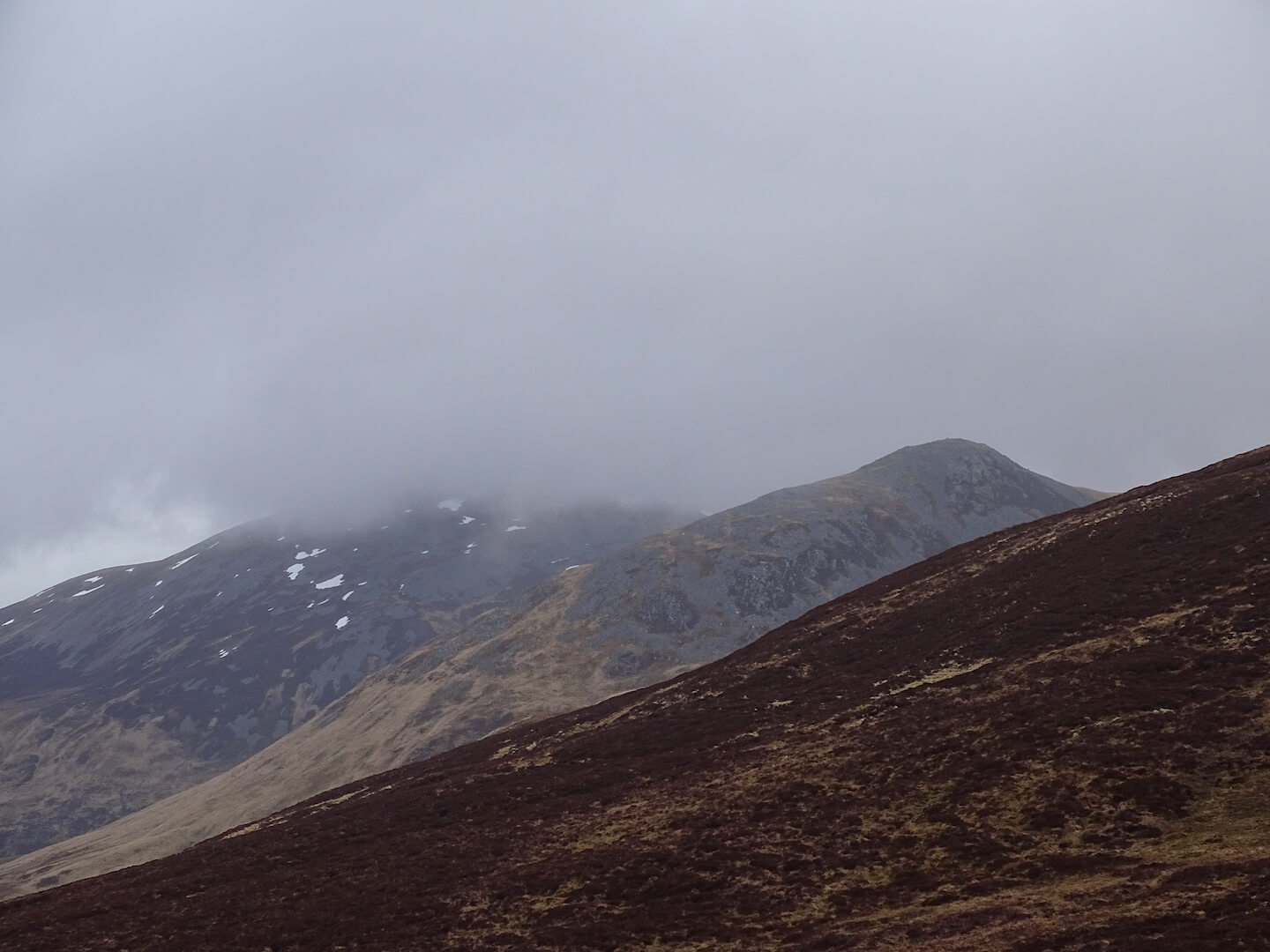
Another cloudy day for the Southern Cairngorms with surface layers of the snow softening at lower elevations. Only patchy snow remains on the hills around the Glenshee Ski area, with larger areas to be found on the higher mountains with summits over the 1100 metre mark.
A ridge of high pressure is developing giving an overnight frost. There may still be some low cloud on the hills around the southern boundary of this forecast area with a greater likelihood of clear summits along the northern boundary. The old snow patches will firm up overnight, developing icy surface layers, before starting to soften slightly at lower elevations later in the day.
Another poor day for photography – hopefully tomorrow’s offering will improve…
Comments on this post
Got something to say? Leave a comment


