Snow forecast…
12th March 2023
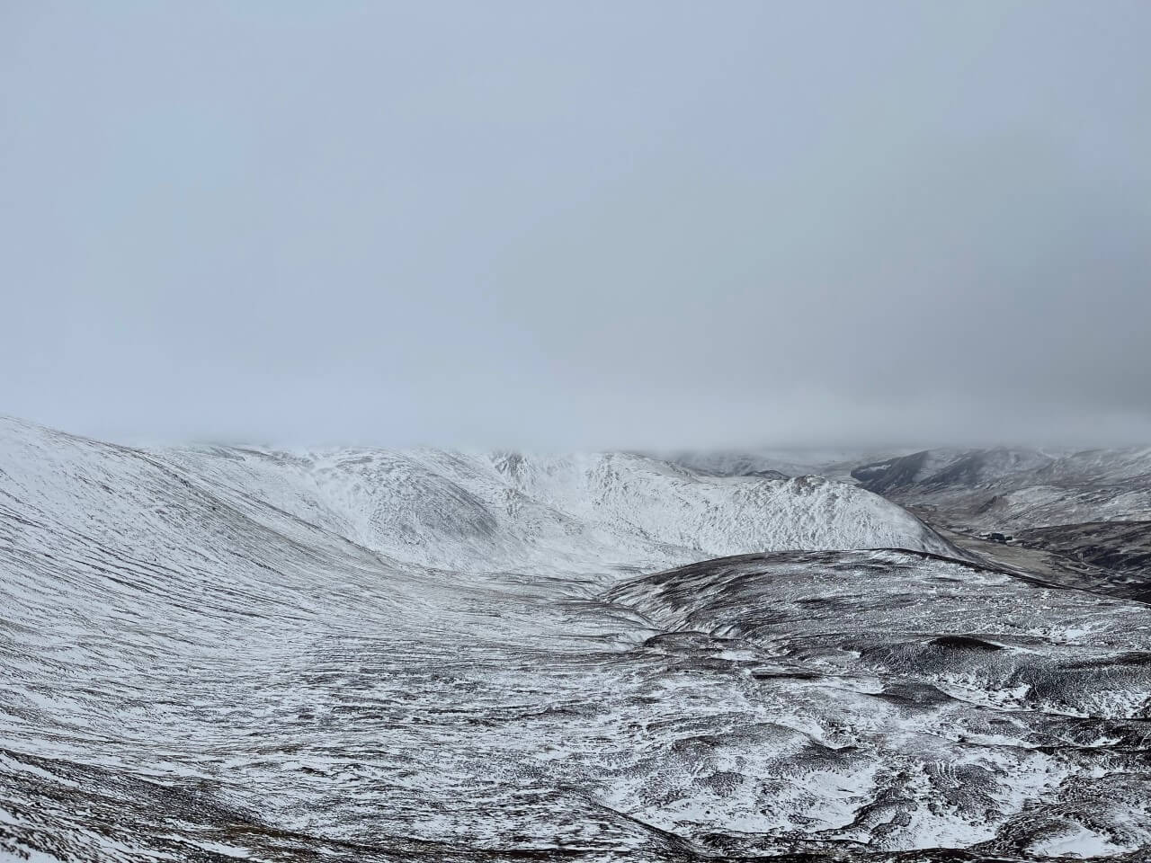
Only limited new snowfall arrived in the area overnight with the rainfall radar showing it travelling South and North-West of us. New accumulations are limited to the tops of gullies and around steep corrie rims. The freezing level went over the summits today and a visible thaw took place at lower altitudes.
A very interesting weather forecast for the next 24 hours with snowfall across all six of the SAIS forecast areas. North Cairngorms is receiving a significant amount of fresh snow, which means that our Northern boundary will be getting a good proportion of that. The winds are set to increase as well which means that it is likely to be an ‘interesting’ day on the hill. Note to self – ‘Swop out the sunnies for goggles!’

Visible thaw taking place at lower elevations today
After a fairly bright start the cloud lowered with light rain arriving late morning

New accumulations are limited to wind sheltered locations only
Comments on this post
Got something to say? Leave a comment


