Snowfall & drifting
29th March 2026
A bit of a windy day with early snowfall turning to showers around late morning. The snowfall was initially settling at 600m with the A93 turning white through the Glenshee Ski Centre. Later a freezing level rise meant that wet snow was falling down to 700 metres only with rain below this altitude. Sheltered locations above 800m were holding onto the drifting snow and knee deep drifts were present in places. The wind was gale force at 900m with progress difficult in exposed locations. The visibility was very poor during the snowfall but as the precipitation cleared to showers some good views were gained. Luckily the cloud cleared just in time for me to watch a small class 1 release take place, with another set of debris apparent a little further away – All useful feedback on the snow stability – High altitude gully tops and sharply defined corrie rims will have been among the most affected locations today. Many locations however have no snow, shallow snow or well scoured, stable snow.
More of the same tomorrow with slightly less powerful winds and less snow forecast. With a showery forecast – the hazard is very much dependent on the intensity of the showers that push through an area with some places gaining very little new snow and others much more. It’s a bit of a lottery. The most affected locations will continue to be steeper, wind sheltered locations at the higher altitudes.
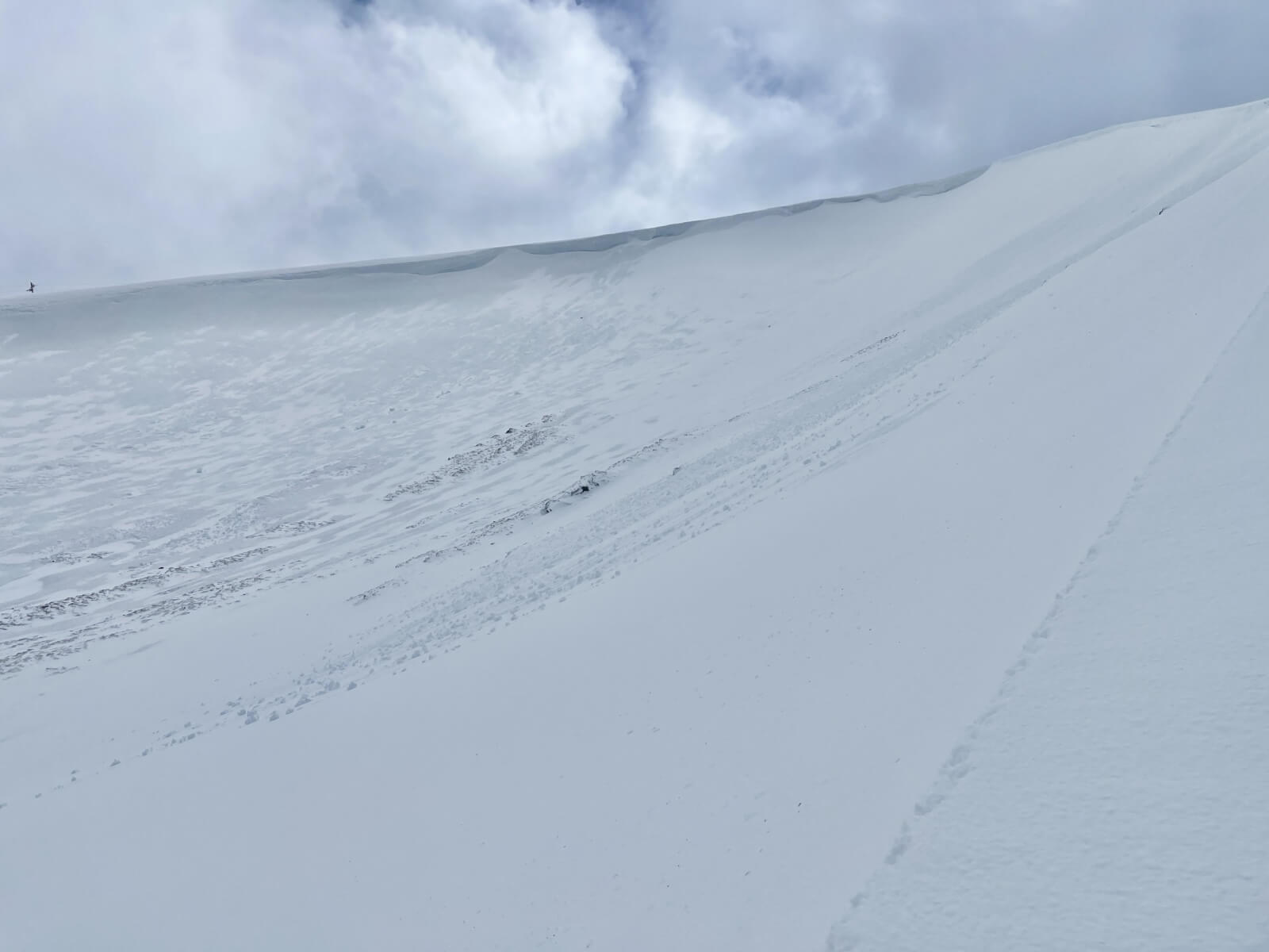
Enhanced photo showing small debris sets on a North aspect, starting zone around 1020m
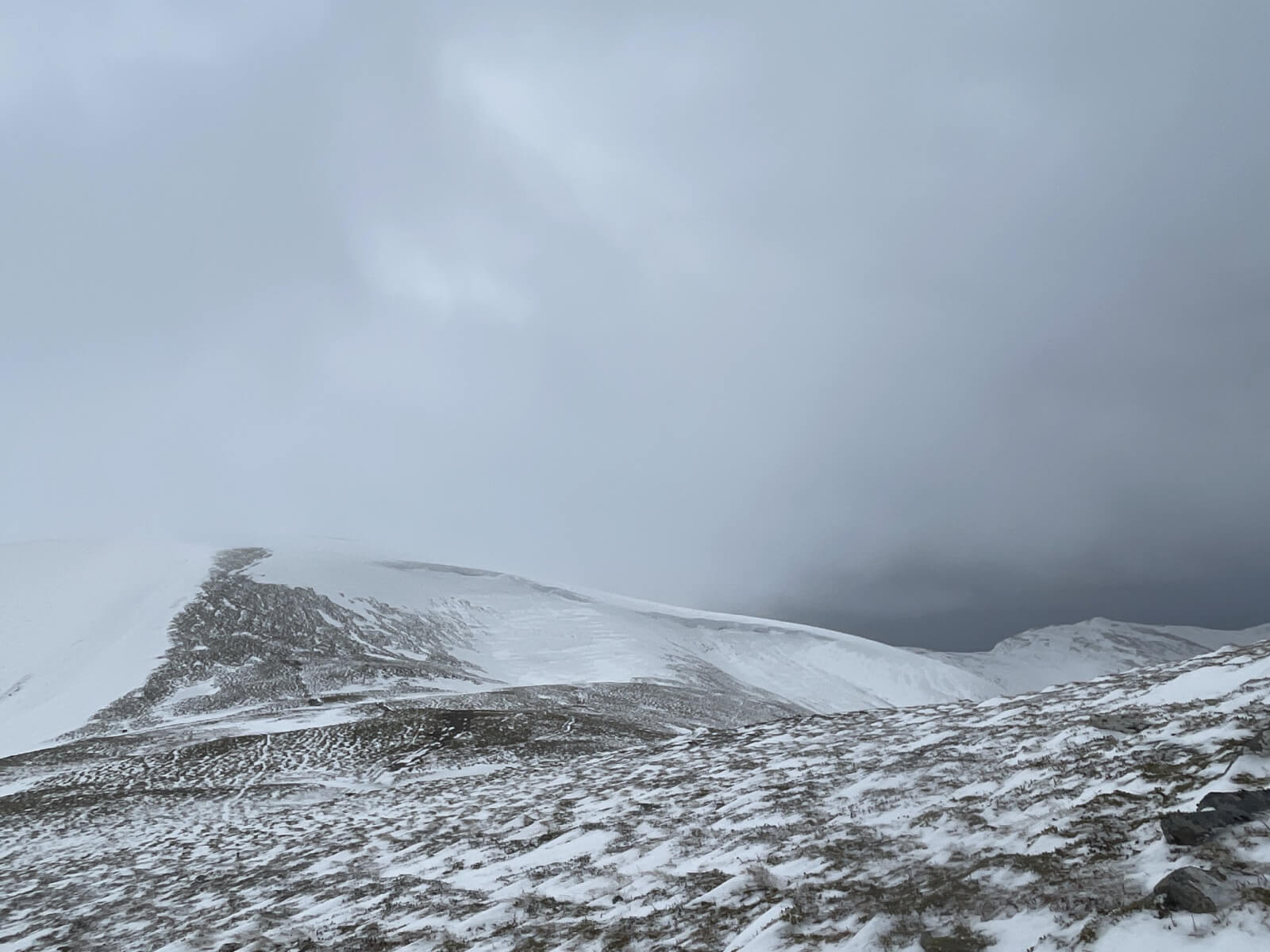
Glas Maol – wind scoured, bare and loaded slopes (far left) all in this picture
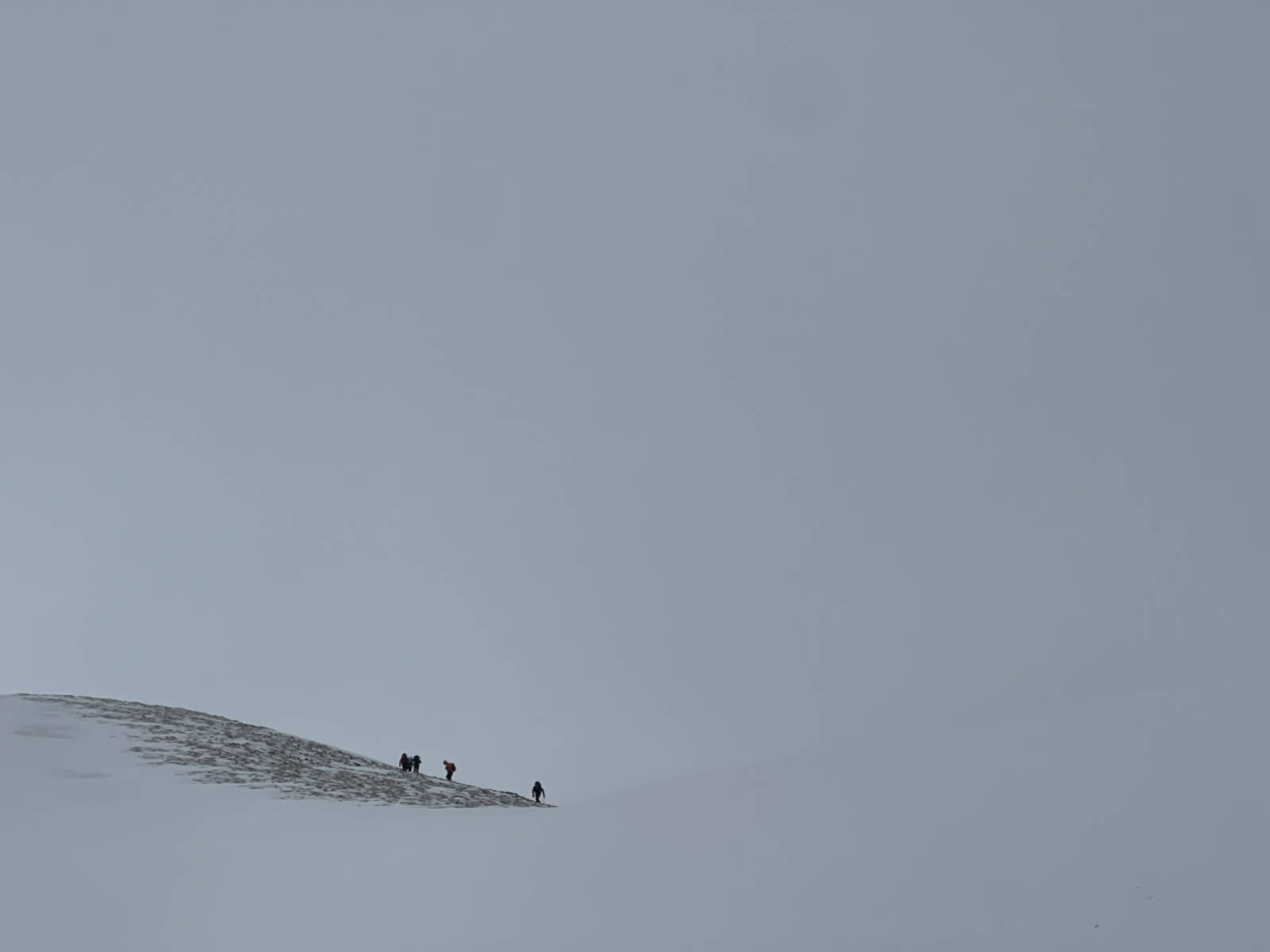
A group of mountaineers making steady progress in the gale force winds
Comments on this post
Got something to say? Leave a comment


