Overnight snow showers
30th March 2026
Cold westerly showers crossed the area overnight and during the morning. New snow drifts and larger accumulations of unstable windslab were observed in sheltered areas mostly above 800 metres on North-East to South-East aspects. Temperatures are expected to rise above the summits overnight which will help the consolidation process in the long term. However, in the short term, weaknesses will remain within the new accumulations and stability will not improve significantly till colder temperatures arrive.
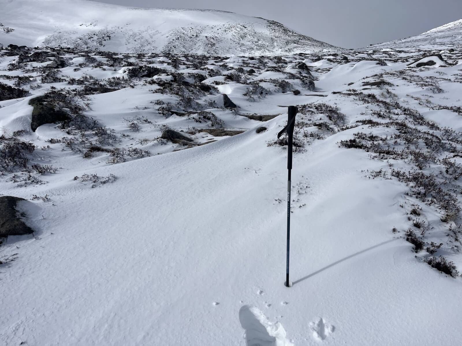
Approaching the Lochnagar Col with Meikle Pap. Thin snow cover on mostly bare ground below 800 meters.
Larger drifts above 850 metres with some cold and weak snow layers.

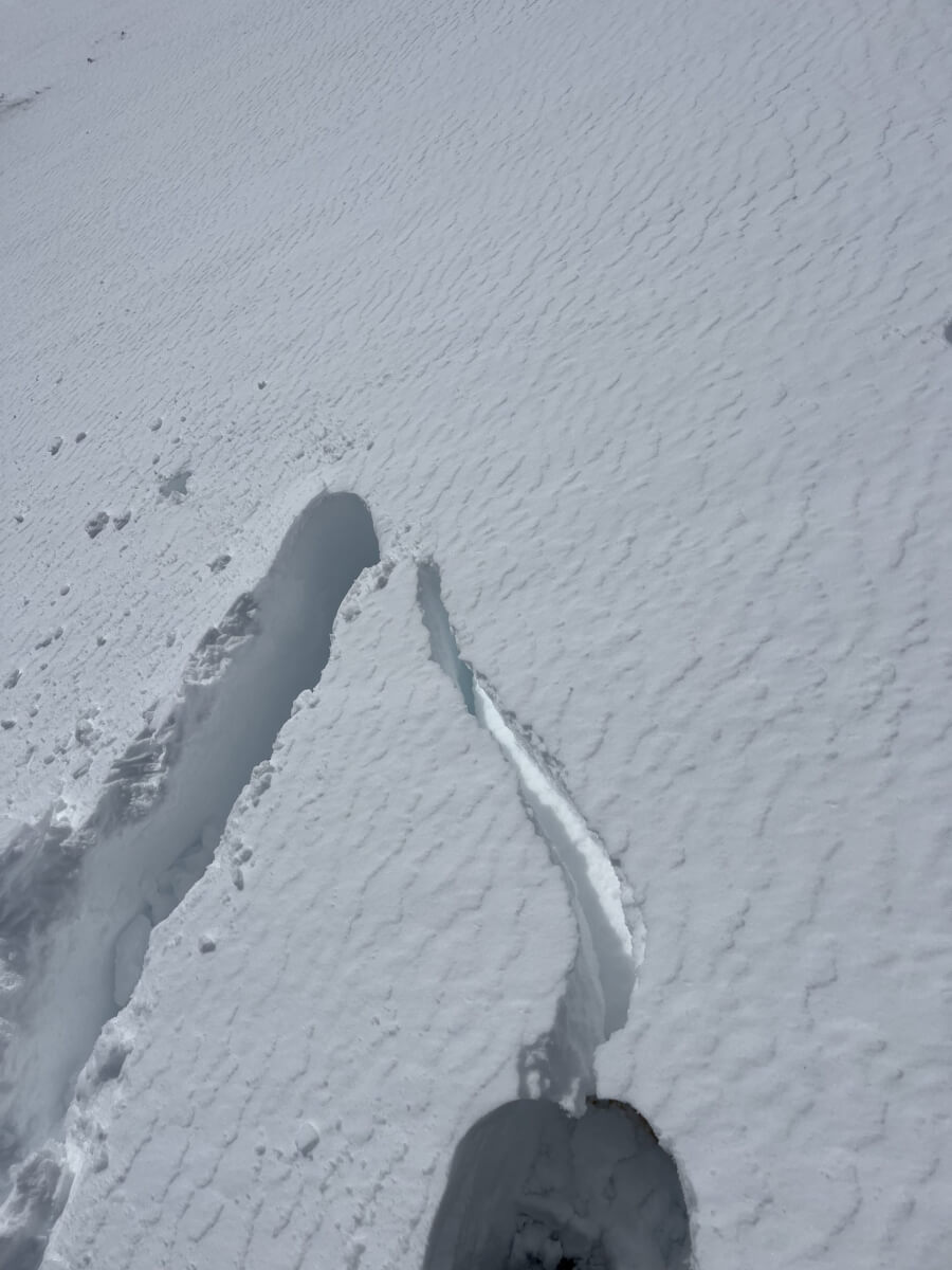
Multiple weak layers observed in today’s snowpit.

Hard snow-ice on the shoulder leading to the summit of Lochnagar.
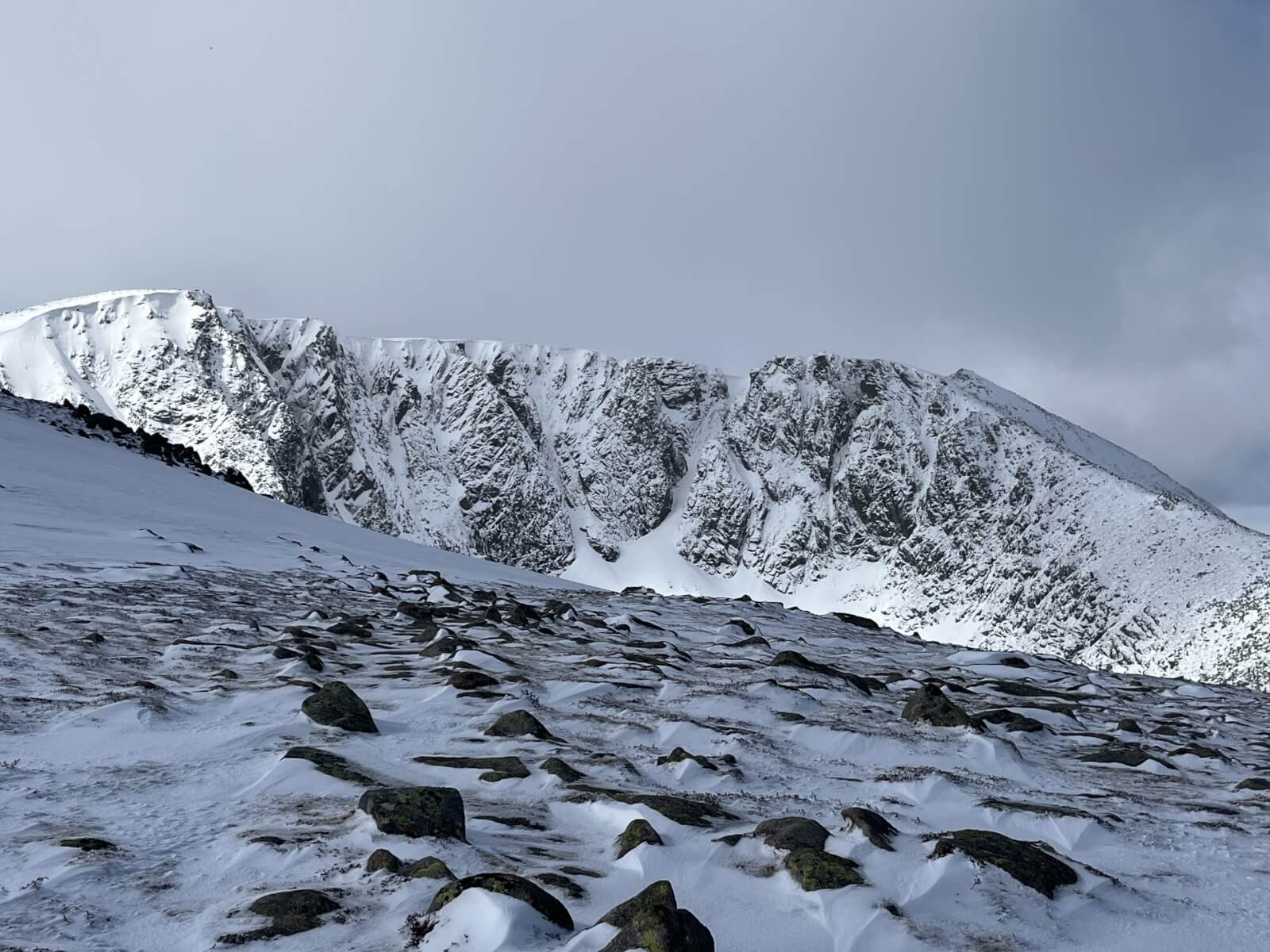
Lochnagar cliffs.
Comments on this post
Got something to say? Leave a comment