Meteorological spring
1st March 2026
In case you haven’t spotted it, we had a bonus blog published yesterday evening which is well worth a read about a significant avalanche event(s) on Cairn O Claise.
There was fresh snow down to 600 – 700 metres on Saturday night but this was quickly thawing as precipitation turned to rain at all levels. It was a wet day with generally poor visibility for anyone out in the hills.

It looks like there has been some cornice collapse here and potential for a little bit more. It would be impressive to see these tumble down into Loch Muick (from a healthy distance).
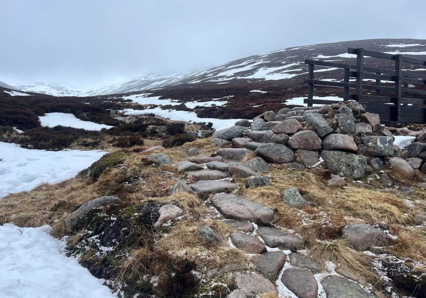
This was the first sighting of lying fresh snow which fell overnight, at 710 metres. There was no evidence of this on the return leg!
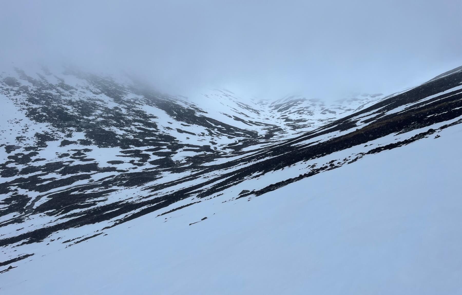
Looking into Glas Allt. The cloud base didn’t get much higher than this today.
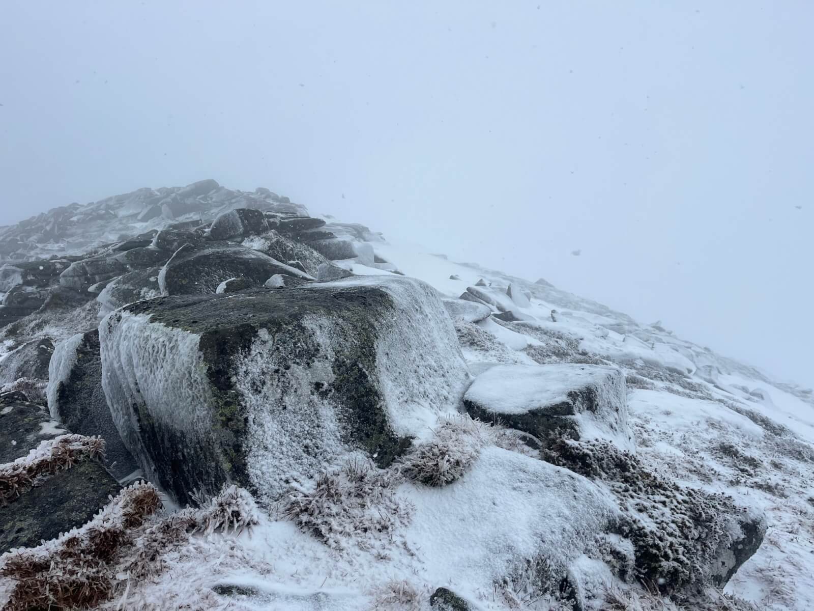
Rime on the left on the wind exposed side and new snow deposits on the right in the wind sheltered places.
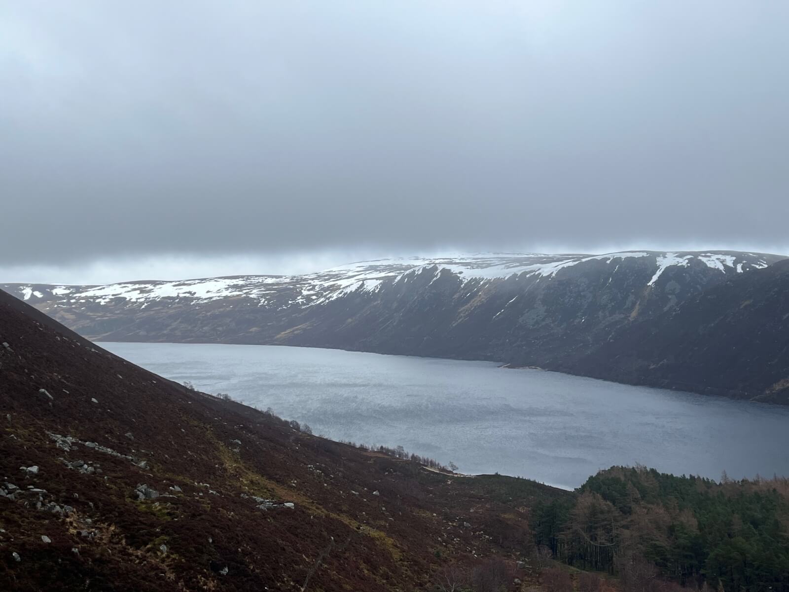
Looking South-East across Loch Muick. It will be interesting to see how much this snow reduces after the rain forecast for tonight. Many of these accumulations have significant depth from the persistent Easterly airflow earlier in the winter so although there is going to be a thaw overnight, it’ll not all disappear.
Comments on this post
Got something to say? Leave a comment


