Getting colder…
22nd March 2026
A much colder day with a chilly wind – quite a change from yesterday! The snow felt a little firmer today at higher altitudes and is set to refreeze overnight as the freezing level lowers to 600 metres. I saw a whole variety of interesting footwear yesterday on Lochnagar – and people mostly got away with a lot due to the very soft snow. This will not be the case tomorrow as the surface layers are going to become very firm and potentially icy in places. Slips and trips on steeper snow slopes will result in a very rapid descent with potentially an abrupt stop in all the exposed rocks.
Very unsettled weather for the start and middle part of the week – with a fluctuating freezing level and some strong winds due. Potential for some precipitation falling as snow as well… Note to self – put the t-shirt and trainers away and get the winter kit out again…
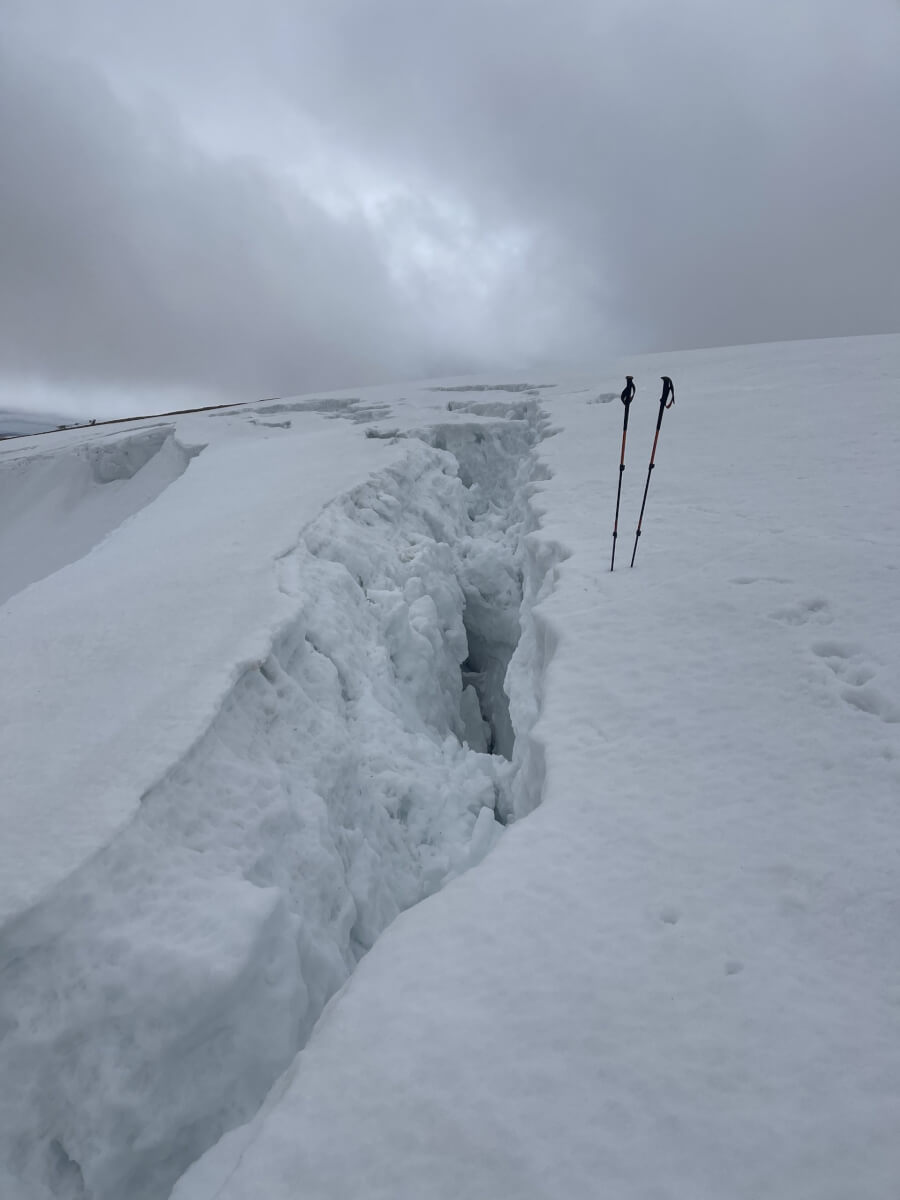
Some large and deep glide cracks opening up around corrie rims.
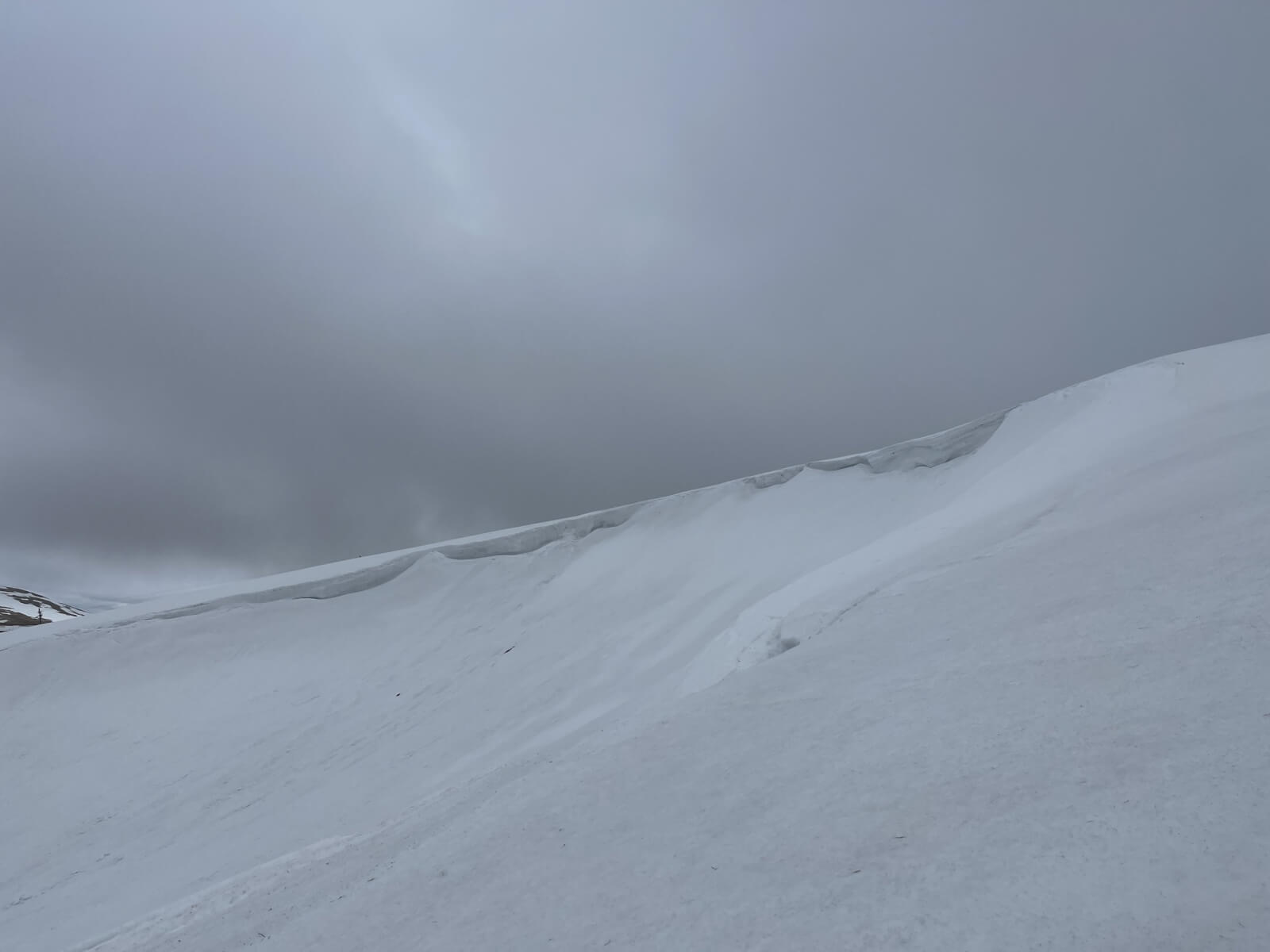
North facing corries still holding deep snow.
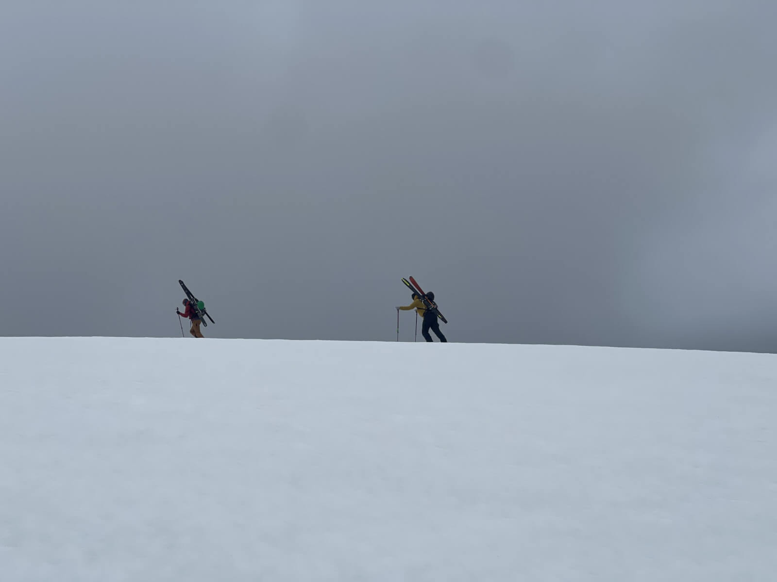
Due to the favourable snow conditions – quite a few skiers seen heading for the popular gully descents this weekend
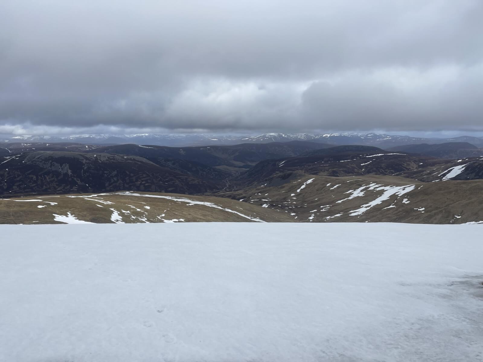
Better cover on the high mountain plateau areas. Very limited patchy snow below 850m.
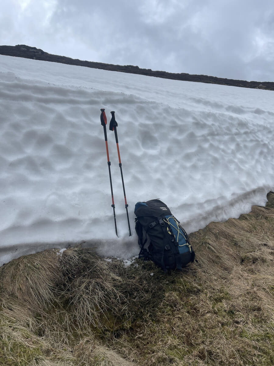
Surprisingly deep snow patch at 650m. This is the exception – very little snow now exists at this altitude.
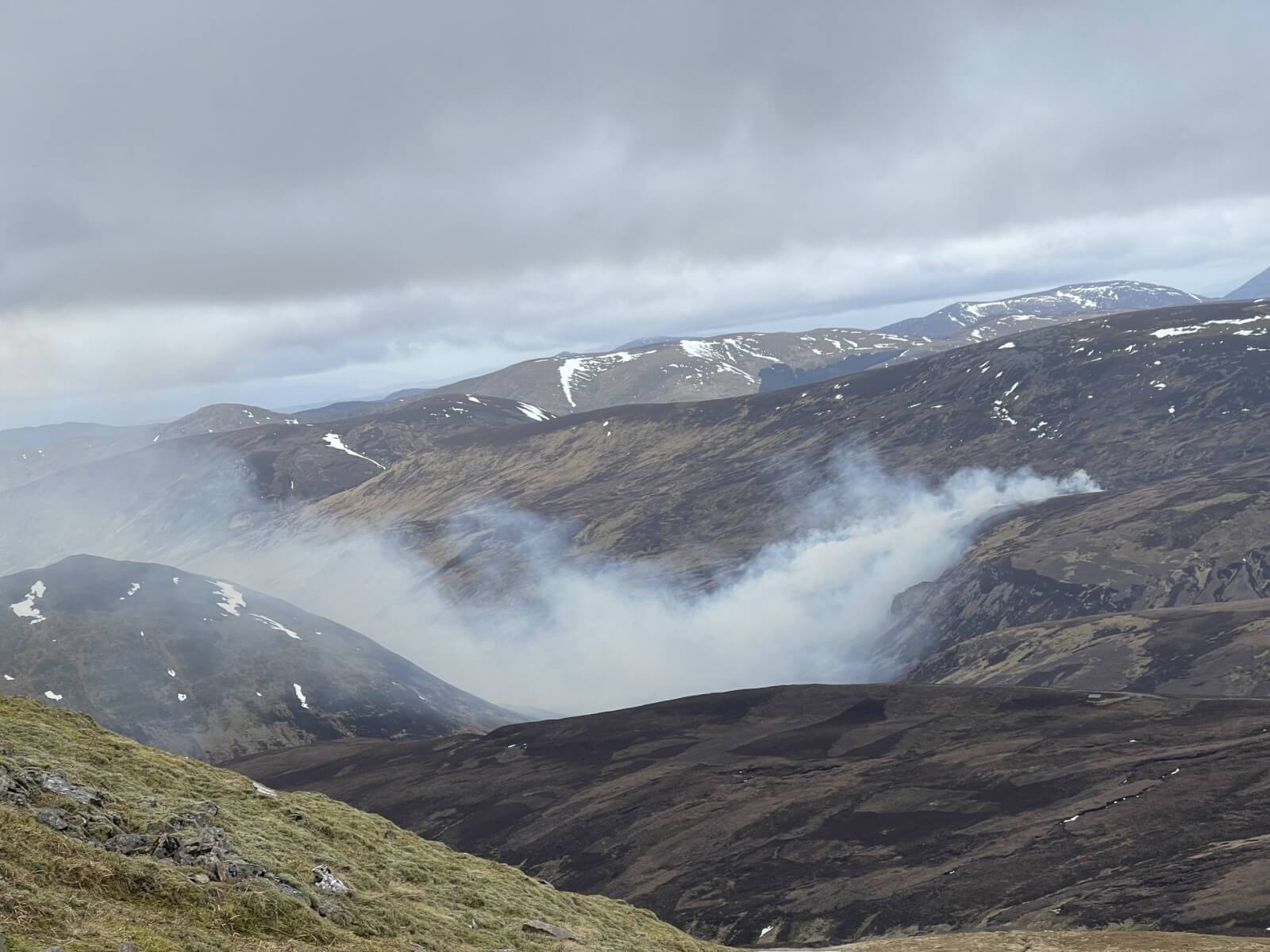
Muir burning
Comments on this post
Got something to say? Leave a comment


