New snow, awful viz!
11th February 2026
Good to have the freezing level lowering back down again – always sad to see the snow heading off down The Dee! The visibility was truly appalling today with the cloud right down in the lower hills. With the snow cover that we have on the higher hills, this meant that the only relief was the occasional large boulder appearing out of the gloom. The snow low down is still wet and has yet to re-freeze meaning that travel is pretty tiring. As you get higher there is a bit of a crust – which sometimes takes your weight, and often doesn’t! Above 800m things started to improve with firm wind scoured snow on exposed slopes. However as soon as you move onto wind sheltered slopes, drifted deposits are forming dry windslab, with lots of tell-tale cracking occurring around your boots.
A bit of a wind shift tonight and tomorrow, with today’s Easterly winds being replaced by North-East and North-North-East winds. Combine that with overnight snow, and we have a shifting windslab problem developing. After that it looks like we will have some variety in the weather systems covering the country – here’s hoping that we will get a view one day soon!
Usual apologies – awful conditions for photography…..again!
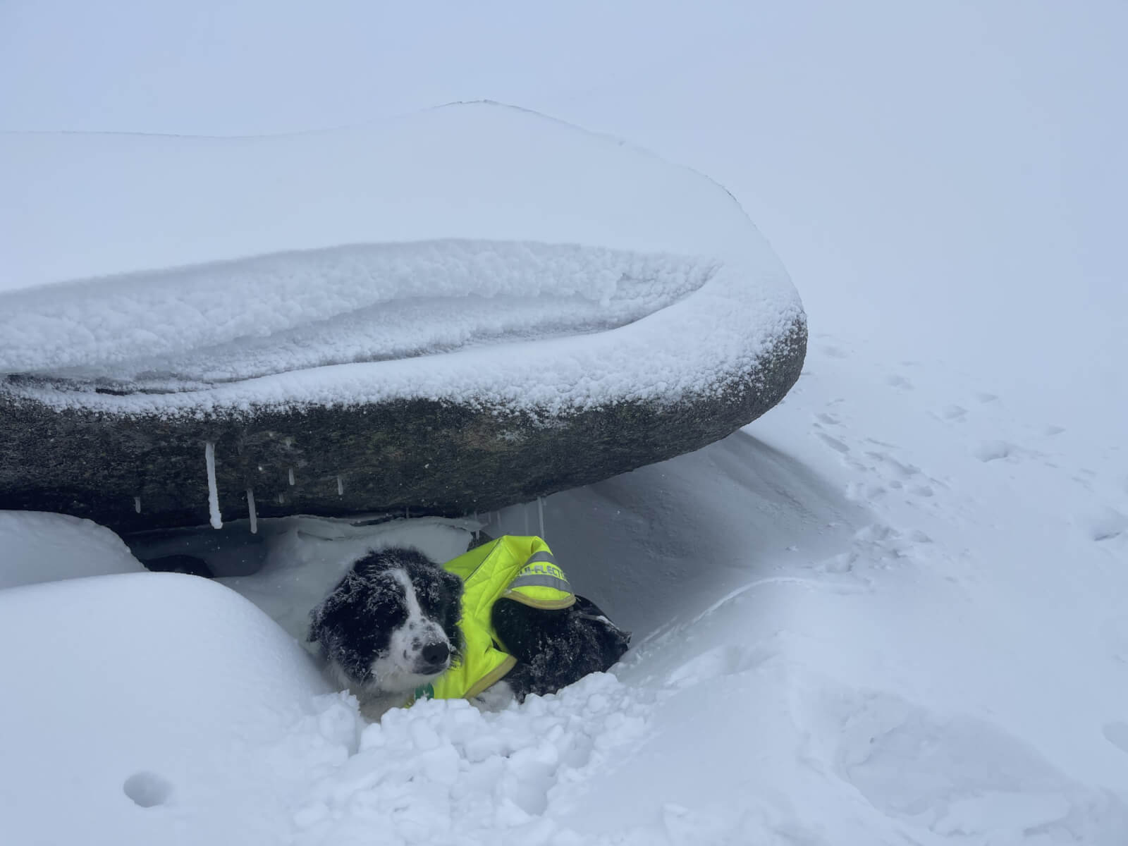
A day to take shelter when it’s available. Fresh snow blowing around and unstable deposits forming.

Wind exposed slopes are scoured and icy above 800m
Comments on this post
Got something to say? Leave a comment


Andy W
11th February 2026 8:52 pm
Nice to see a picture of the brains behind the avalanche forecasting!