The thaw begins.
21st March 2025
The warm southerly winds are thawing the remaining snowpack, especially the softer snow on southerly aspects. The firmer snow on Northerly aspects is more resilient, although with the arrival of the rain tomorrow they will quickly soften and begin to thaw.
The rain amounts for the forecast period are expected to be in excess of 20mm which is fairly significant, although there is some uncertainty as to the actual amounts.
Wet snow instabilities will be a hazard in all steep terrain along with potential for rock fall and cornice collapse where they are present. (see report for more detail.)
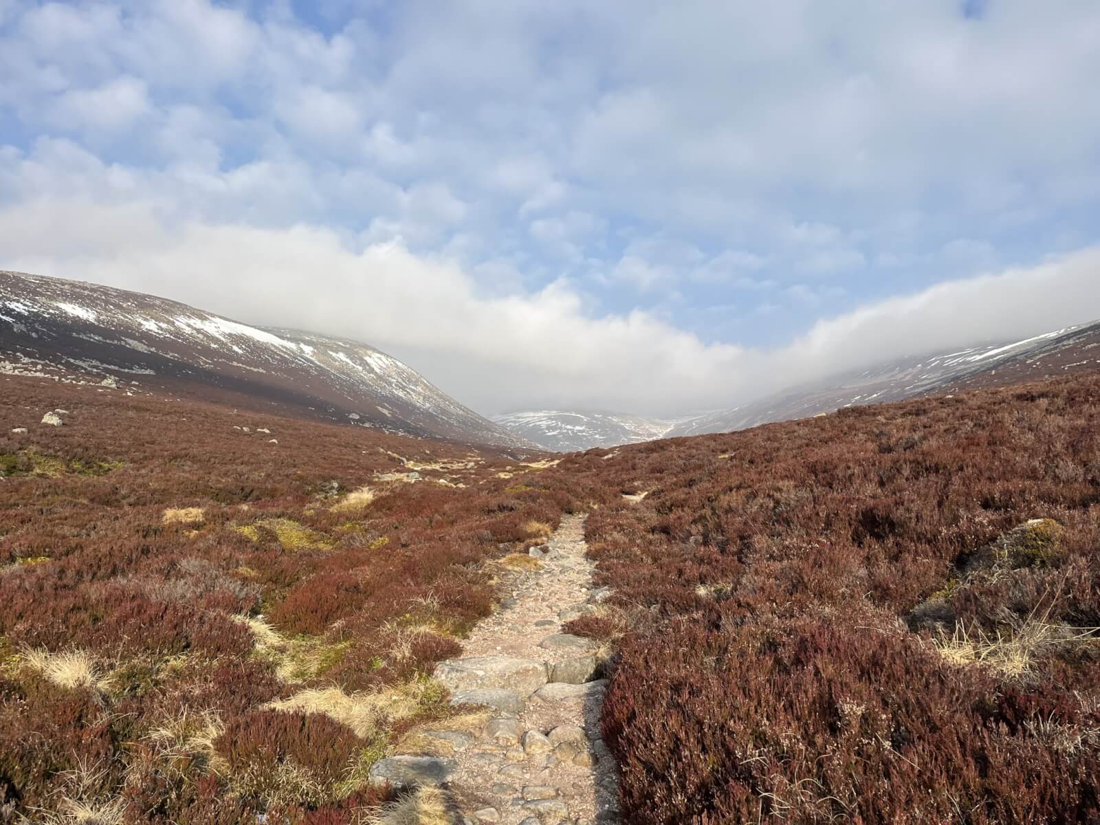
(Above) Looking into Coire an Daimh Mhoile just south of Lochnagar.
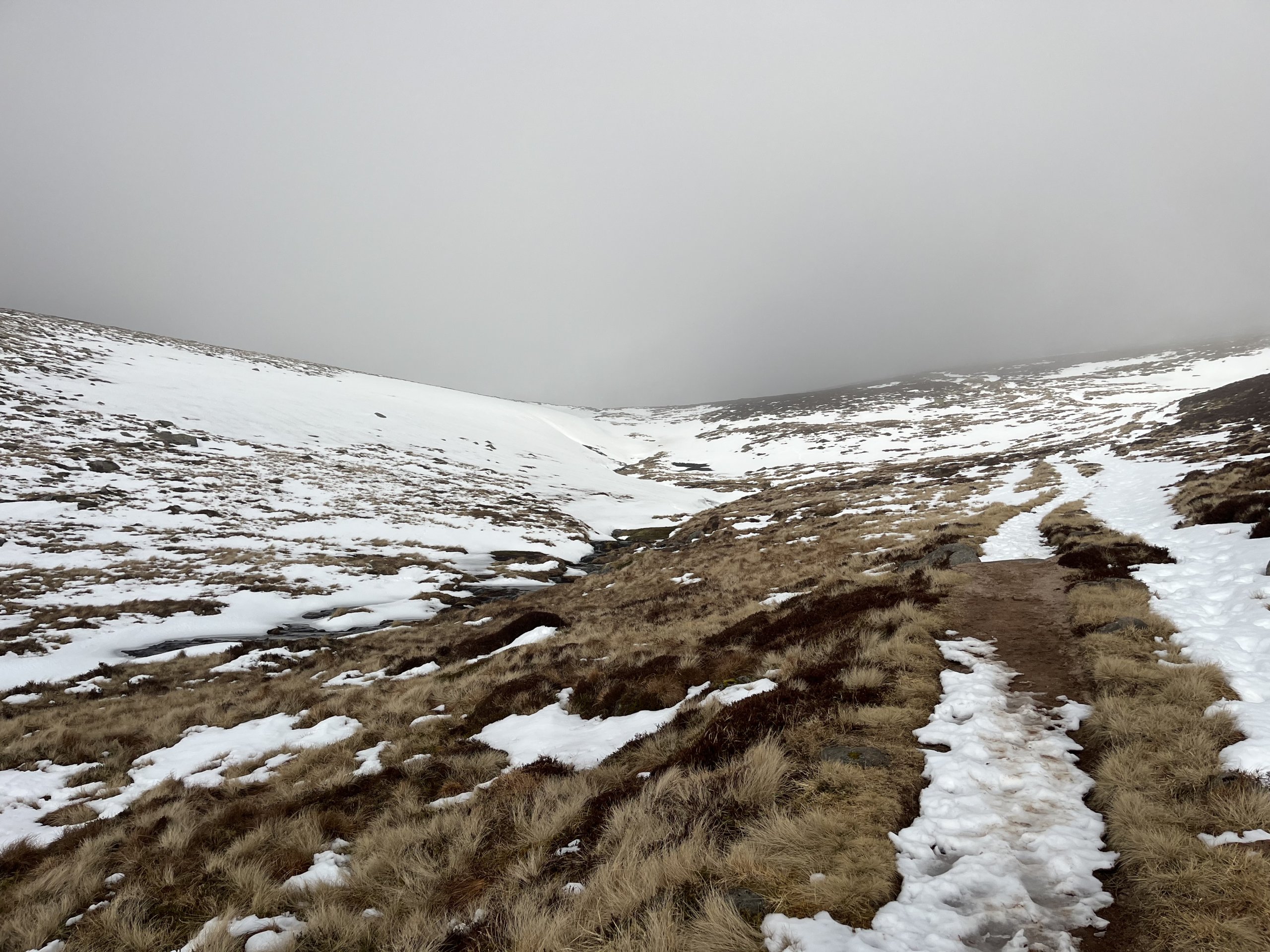
(Above) Typical snow cover at around 900 metres.
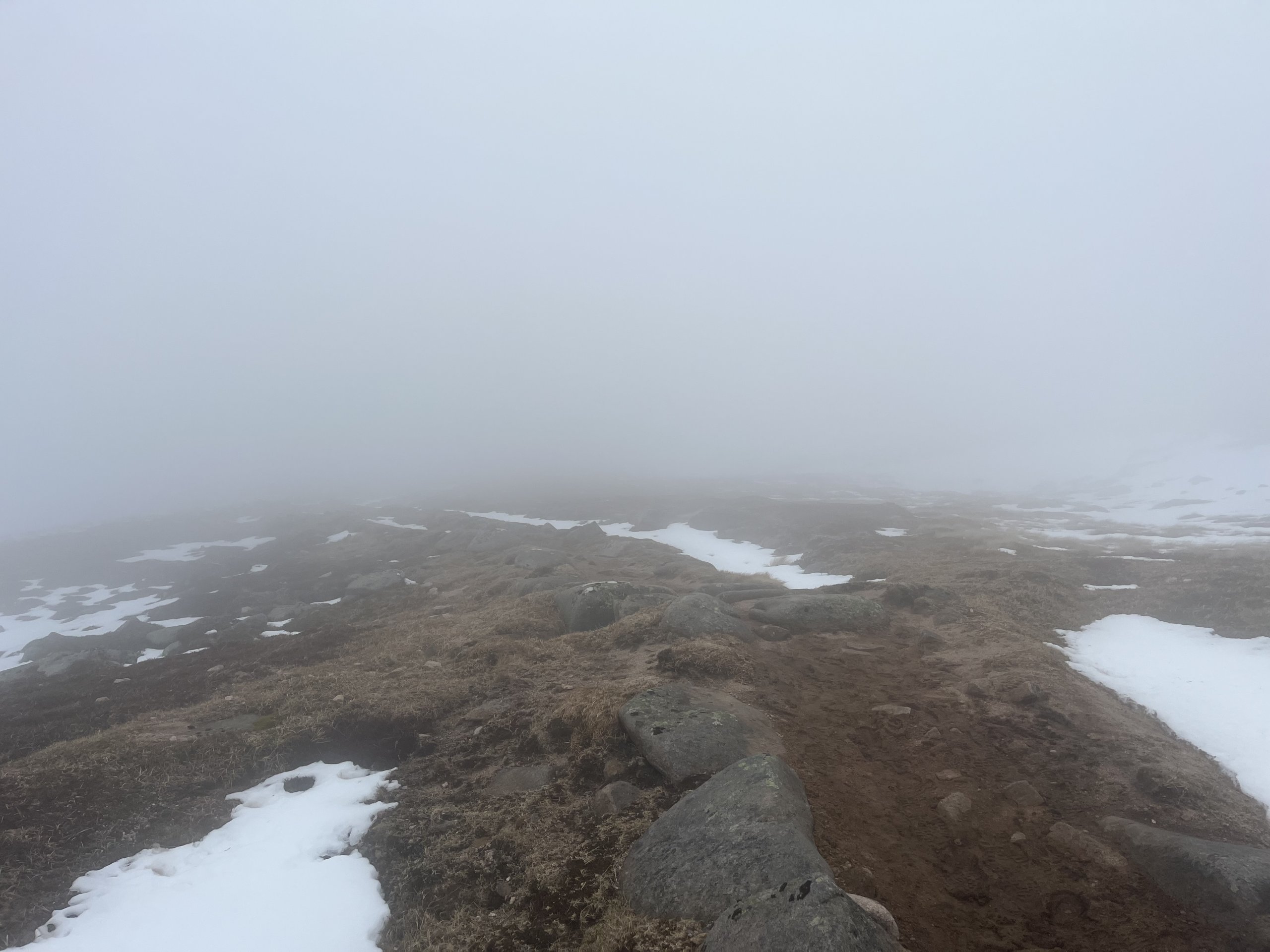
(Above) Poor visibility and thawing snow on the Lochnagar plateau.
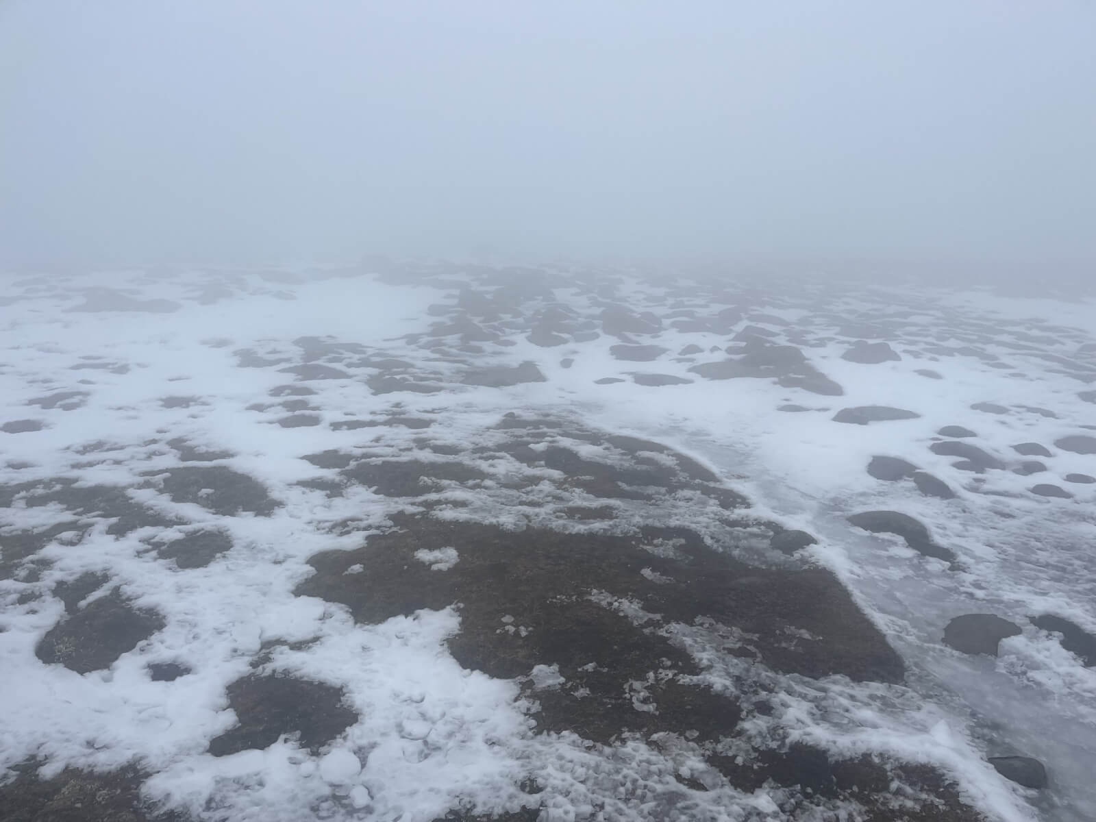
(Above) Ice on the paths was turning slush.
Comments on this post
Got something to say? Leave a comment