Sunshine….and Snow
28th March 2025
Today was about getting high enough to check out the dusting of new snow and any build up of deeper accumulations. Through the day frequent snow showers above 750 metres swept through on the strong South-Westerly winds, though it felt quite dry, bright and occasionally sunny in the main. The freezing level rose to around 1000 metres.
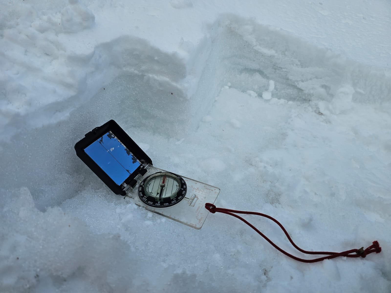
The existing snow patches seemed to have started to refreeze at most elevations though where they were exposed to the sun they were still softening slightly on the surface. New snow was also readily beginning to thaw and disappear with only the dusting above 1000 metres remaining. Small isolated and shallow deposits of soft windslab had formed in wind sheltered locations but these were very small and easily avoidable.
Tomorrow brings an interesting mix of further new snow late in the morning with strong winds followed by thawing conditions. Isolated instabilities are again expected to form for a while, rapidly becoming wet instabilities for a while later.
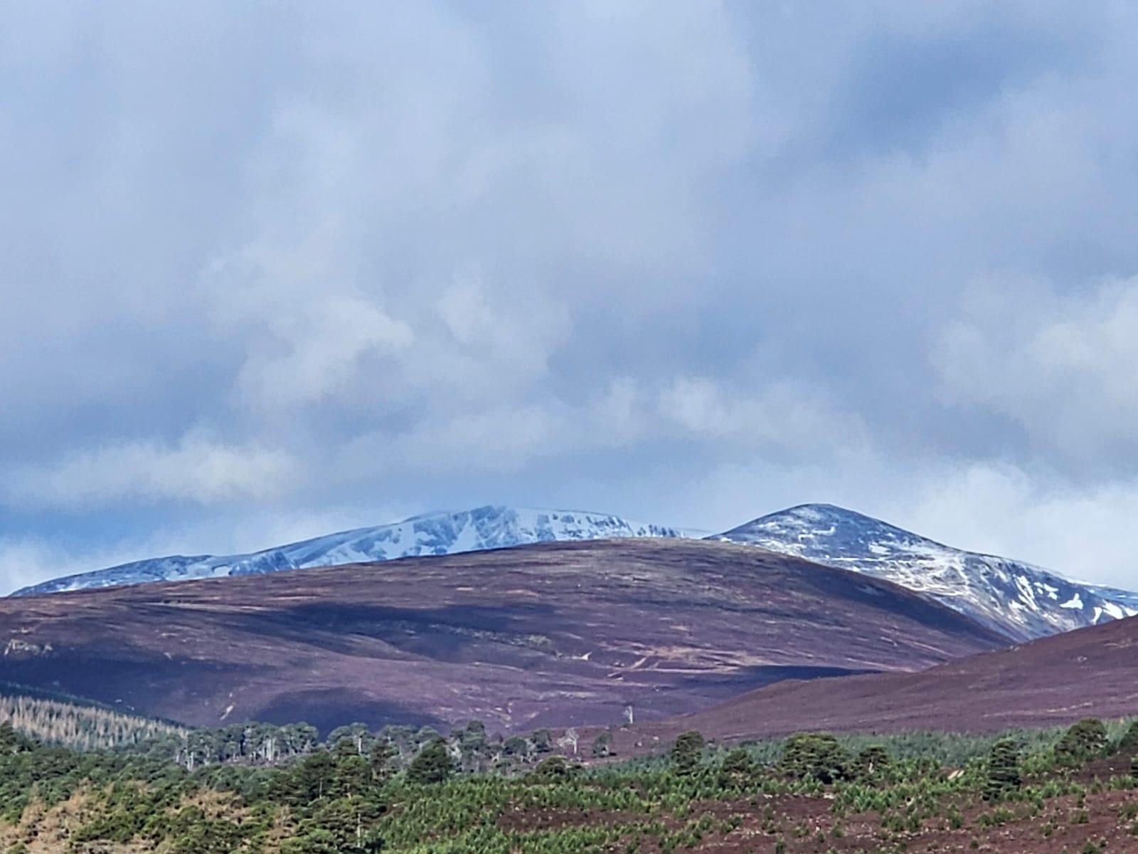
Looking towards Beinn a Bhuird with a dusting of new snow.
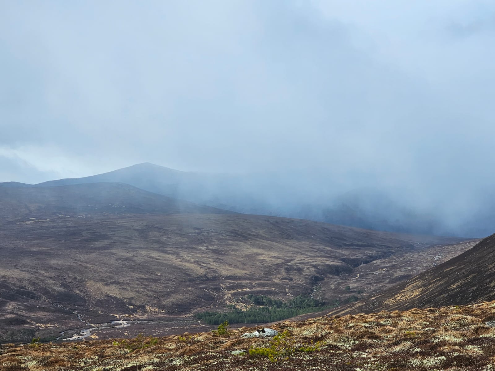
Frequent snow showers coming in on strong South-Westerly winds but mainly bare ground.
Isolated new snow accumulations already beginning to thaw away, here just above 900 metres.

A better view looking west, Cairn Toul, in a brighter spell.
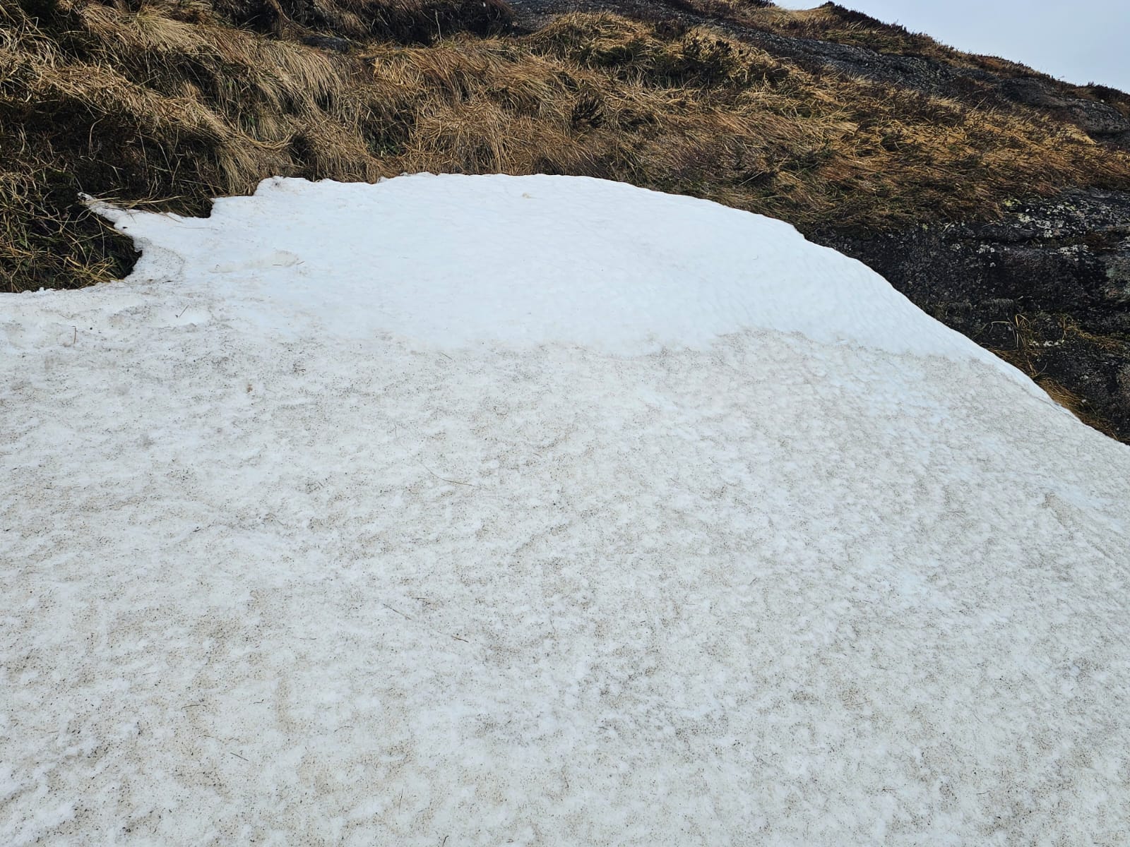
Isolated pockets of slightly deeper new snow on an old existing snow patch, South-Easterly aspect 950 metres.

Looking east towards Craig Derry and Beinn Bhreac.
Comments on this post
Got something to say? Leave a comment


