The weather standoff continues
13th February 2025
Another relatively calm and cold day on the mountains. The existing windslab slowly continues to consolidate but we identified a new problem today, deep within the snowpack. Just above the old melt freeze layer a much softer layer of snow is present and weaknesses have developed here. These weaknesses are hard to see so prudence is advised on steep wind sheltered locations on West to North-West aspects above 900 metres. Not much change expected tomorrow before snowfall arrives overnight Friday which will inevitably spice things up.

Tracks spotted today included mountain hare, fox and grouse. These made little impact on the snow, unlike the forecaster. Historical drifting still making progress arduous at times.

Considering that we haven’t really had any significant snowfall and mainly moderate winds, if you compare today’s photo of Coire Fionn to the one on the 10th February, the cornice has grown in length significantly.
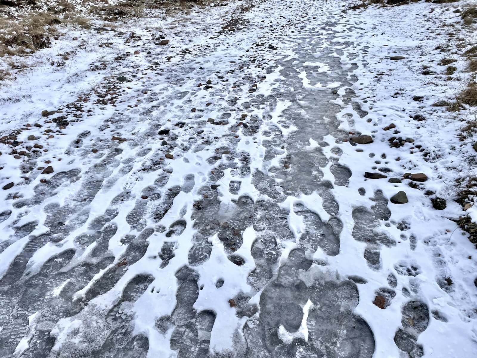
Icy paths remain a hazard.
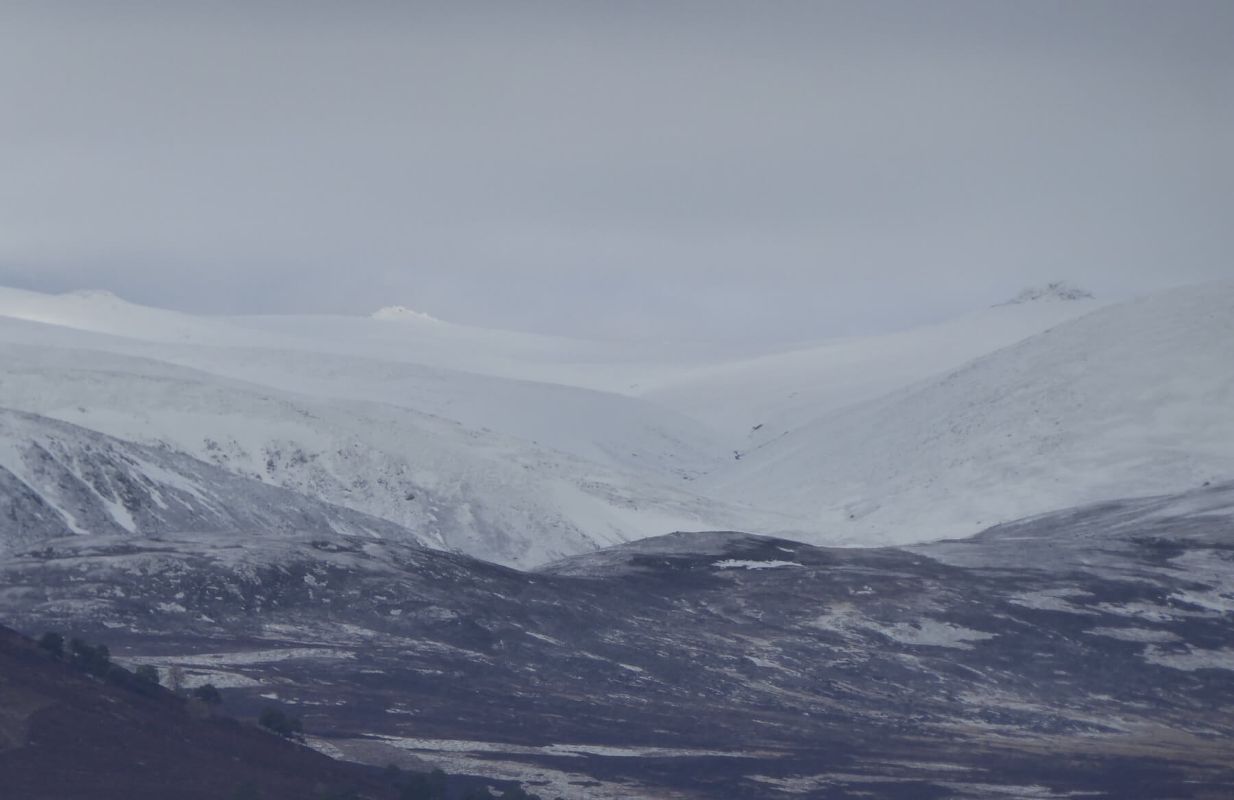
A distant shot into Ben Avon.
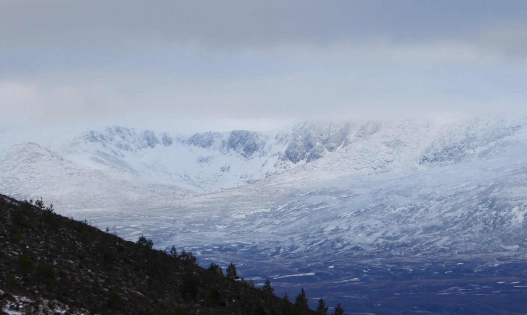
Lochnagar this morning.
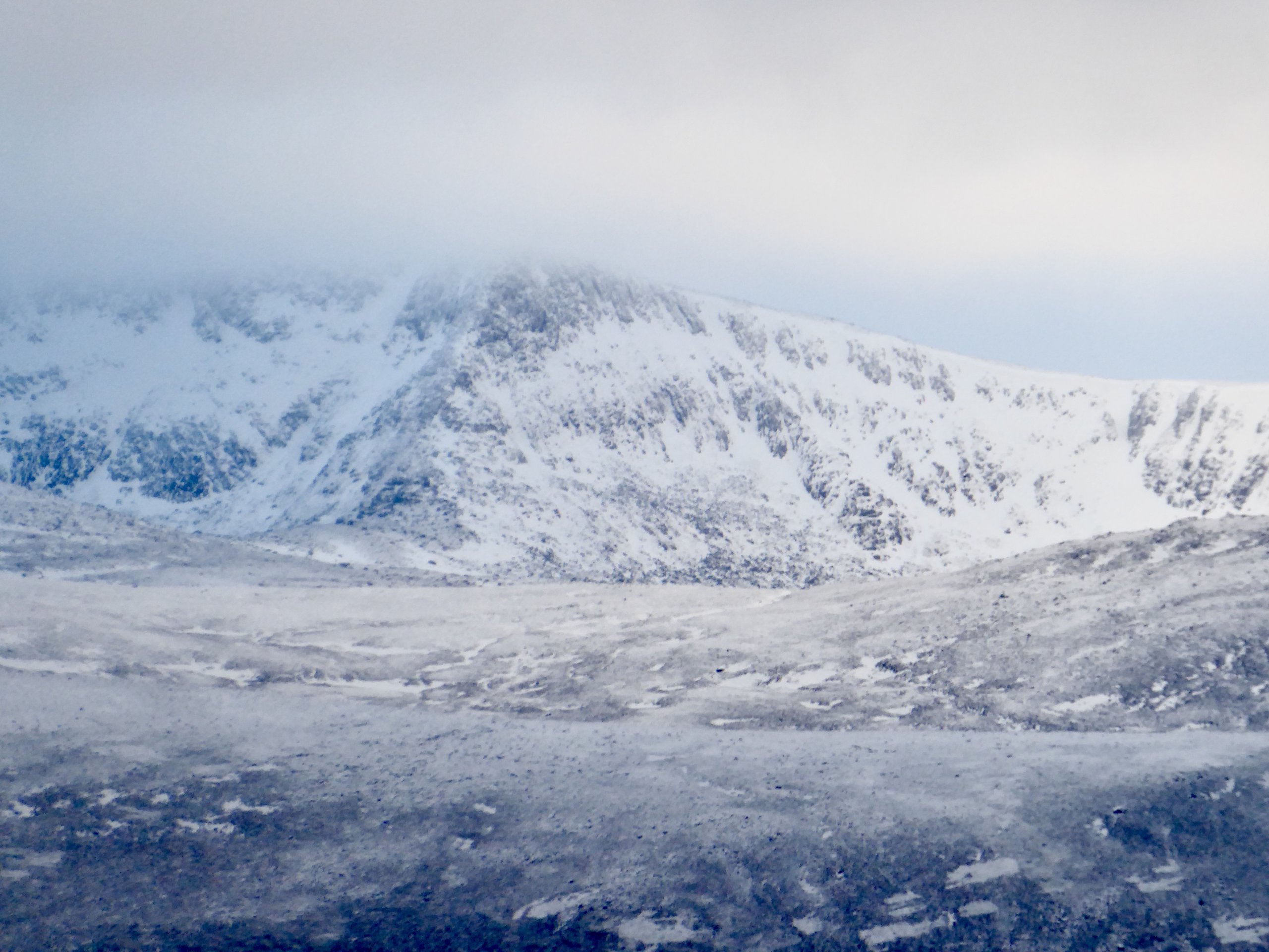
The Stuic – pronounced Stoo eeeeee.
Comments on this post
Got something to say? Leave a comment