Stormy Conditions
23rd February 2025
Storm force winds this morning with gusts over 80 mph at 900m and over 115 mph at 1200m. Wet conditions with sleet or wet snow on the summits initially, turning to rain at all levels as the freezing level rose above the summits. The remaining snow is currently wet and thawing rapidly at lower elevations – The rivers have started to rise again and burn crossings are problematic.
Slightly more hopeful news for the start of the week as the freezing level is set to lower and there is some snow in the forecasts. The patchy old snow is pretty wet so will become firm and icy as it refreezes.
Pretty impossible to take any meaningful photos today as the wind, rain and low cloud did their worst. Hopefully we’ll do better tomorrow.
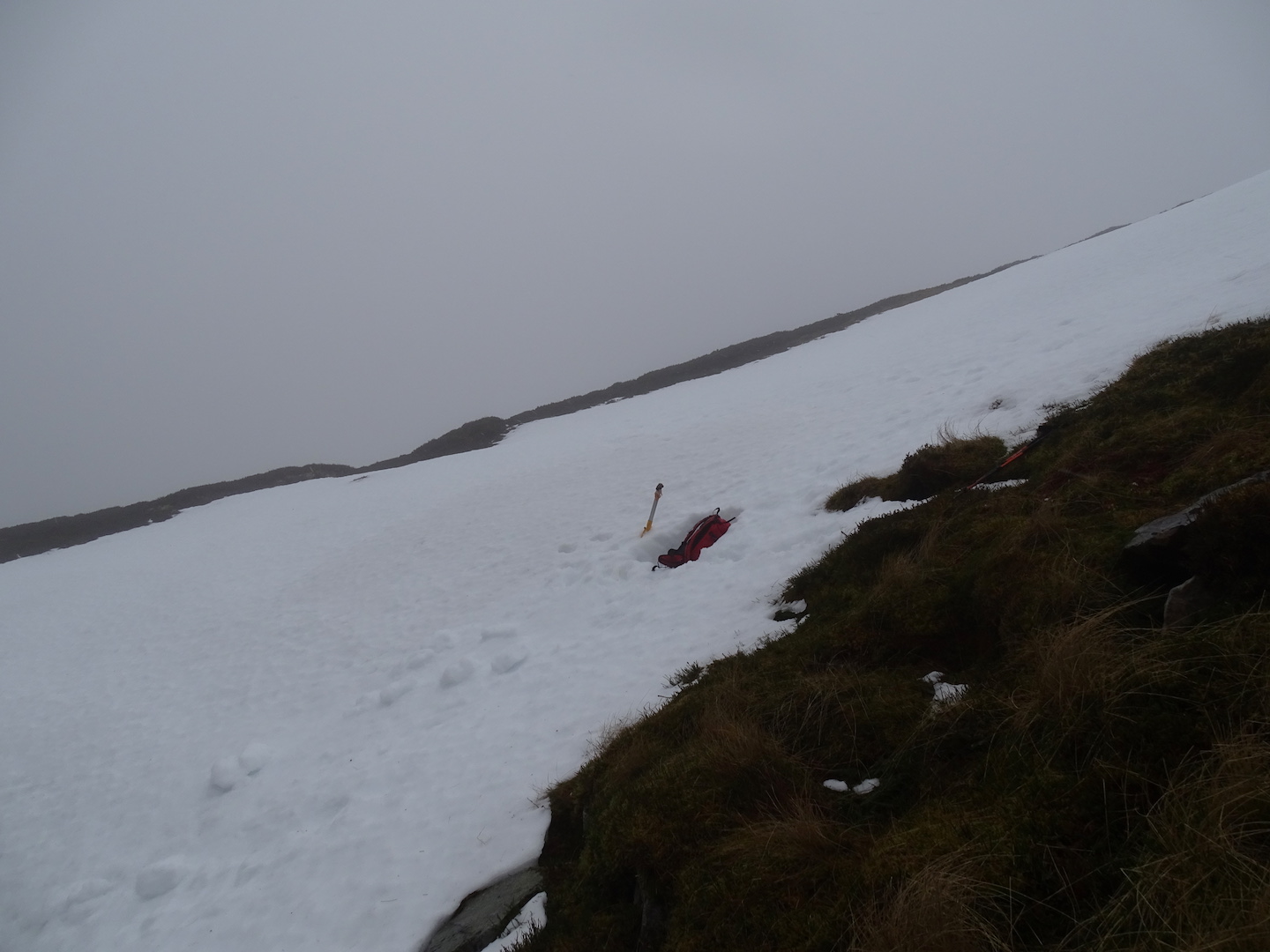
Limited wet snow patches with no visibility today.
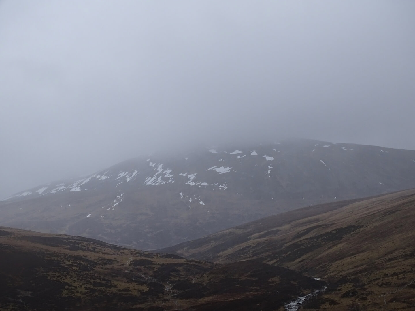
Very limited snow on Carn an Tuirc’s West aspects (1019m).
Comments on this post
Got something to say? Leave a comment


Ross MacRae
24th February 2025 10:15 am
Not been much of a winter this year but SAIS details are essential viewing for those of us who venture out every weekend. I have learnt a lot from the SAIS postings and it helps so much with safety, planning and risk management. Thank you for your work each winter.
scairngormsadmin
26th February 2025 5:02 pm
Thanks Ross.