Before the thaw
19th February 2025
The majority of the day was characterised by very strong to gale force winds and freezing temperatures. Although other areas in Scotland have enjoyed a return to milder conditions, the freezing level remained at around 600 metres today in the Southern Cairngorms area. The result was plenty of drifting snow during the period, with windslab accumulation at higher elevations.
It is however, all change tomorrow. Rapidly rising temperatures overnight, combined with the onset of rain will bring instability. Cornices are likely to collapse and wet snow instabilities may be triggered in steep locations. The potential for a spike in instability results in a forecast Avalanche Hazard of Considerable for tomorrow. Later in the day a slowly stabilising trend is expected to become established as the freezing level drops from ~2000 metres to around 1200 metres.
In summary it is all change for tommorrow, the full avalanche report can be found here at: https://www.sais.gov.uk/southern-cairngorms/?report_id=12455 [permalink].

Morning aviators! This image will need little introduction to the glider pilots of Deeside. The lens like clouds in the centre of this image are lenticular clouds, formed by oscillating airflow over the Cairngorms. Often an indication of high winds, the clouds form on the crests of the rising air flow much like the crest of a wave. “Wave” lift is a favourite of glider pilots anywhere, and is the source of many of the height records and cross country flights made from Aboyne. Elsewhere, Gordon Boettger and Bruce Campbell made a 17 hour wave flight over the USA’s Sierra Nevada clocking up 3055 kilometres and reaching up to around 30,000 feet in June 2023..!

The West facing slopes of Glas Moal seen from Meall Odhar. Note the convex feature which has readily accumulated snow under the constant drifting in the South-Easterly winds. These convexities frequently feature in Avalanche Reports as an area of suspicion for avalanche release. Convex slopes are without exception steep, and in some cases become artificially so with further snow accumulation. Their nature is such that the snowpack can be “unsupported” by the snow below, either because the snowpack is thin or in some cases absent (particularly in Scotland). This is likely in this location as you can see some grass protruding.

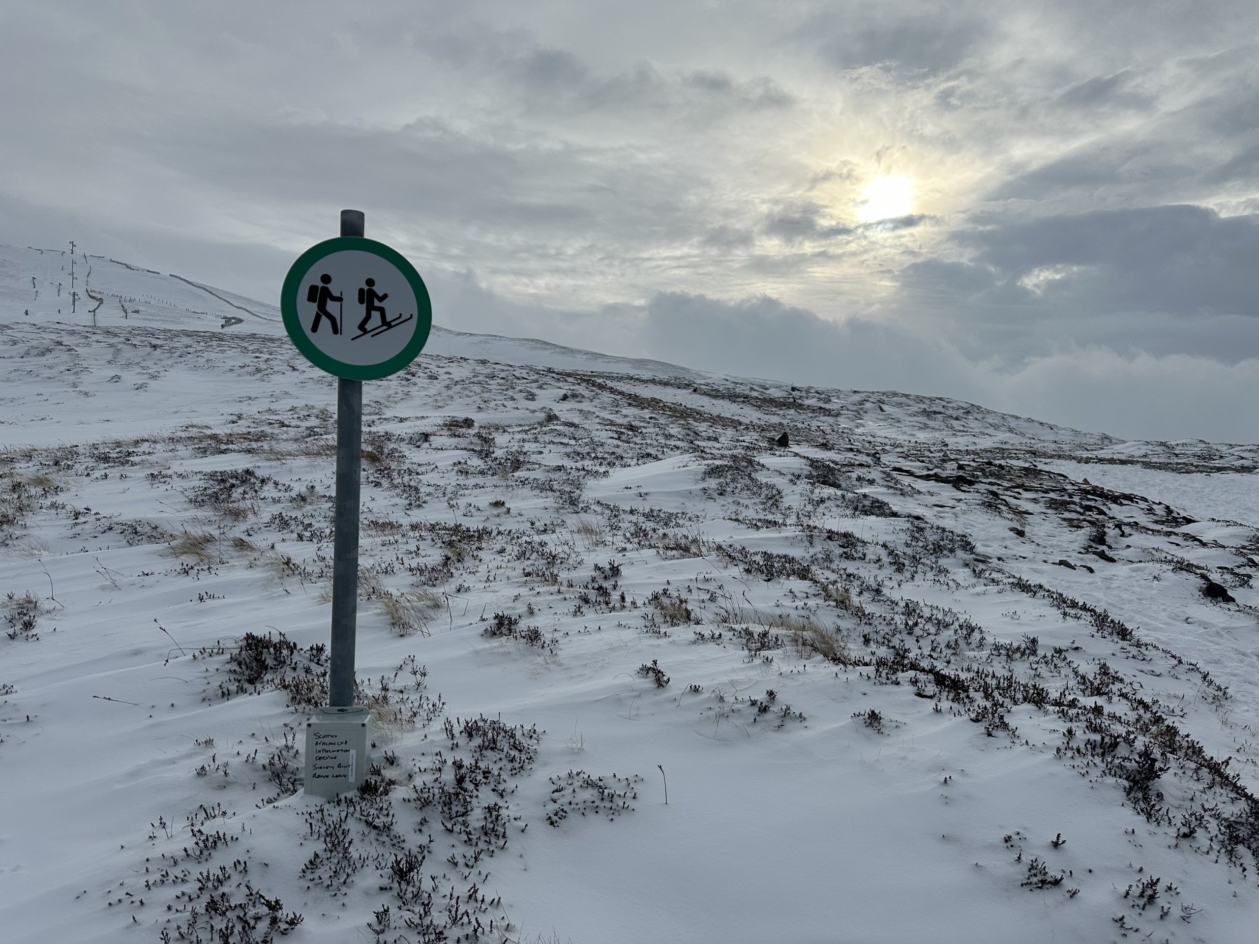
The ski touring and walkers route to Glas Moal. Most parties were on foot today, although a couple of people were on ski.
Comments on this post
Got something to say? Leave a comment


Colin
19th February 2025 11:39 pm
Nice pictures and comments re lenticular aka wave clouds. As a hang glider pilot for many years using ‘wave’ lift was always a treat. Often rough to connect with but very smooth lift once fully connected. Once topped out at 4000m over Kinder Scout. For the mountain weather watcher, (pre frontal) wave clouds are a good indicator of an approaching warm front in the next 24 hours or so. Useful!!
Sant
20th February 2025 3:43 pm
Hi, We would be happy to see you guys at the Deeside Gliding Club. We obviously spend a lot of time soaring over the Cairngorms and most of Scotland north of the Forth/Clyde valley in fact. The Cairngorms are fantastic for producing wave and we get it all year round. Nice of you to show it and give a description.
Thanks
scairngormsadmin
27th February 2025 4:31 pm
Thanks Sant, We know it well! Don’t know if you have seen the article on to 3055 Km flight in the US. I think it was called “Riding the Monster”, 30,000ft for 17 hours flying on Night Vision Goggles. Impressive stuff.