A little bit whiter…
25th February 2025
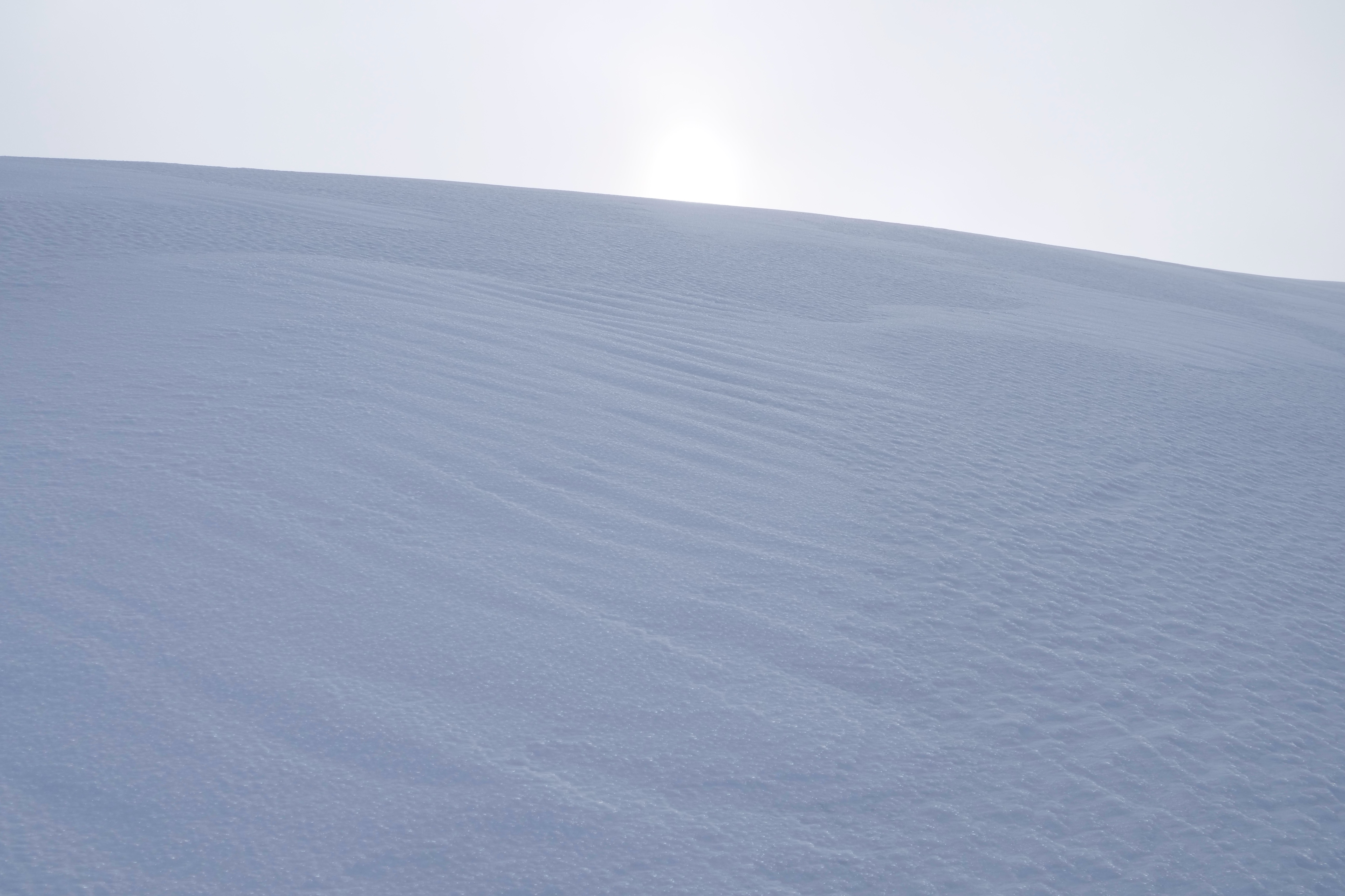
Overnight showers and strong South-Westerly winds have added a shade of white to the hills. The fresh snowfall lies mostly on bare ground, there has been some redistribution and fresh accumulations of windslab have developed on North to East aspects above 900 metres. With steep locations such as gully tops and coire rims particularly affected.
The forecast for tomorrow is for the winds to back from the West to become moderate South-Easterlies during the day. No further precipitation is expected with the freezing level around 700 metres.
The older snow patches which are mostly found on North-West to North-East aspects above 900 metres are firm and in places quite icy. The runouts below these slope remain serious and consequential.
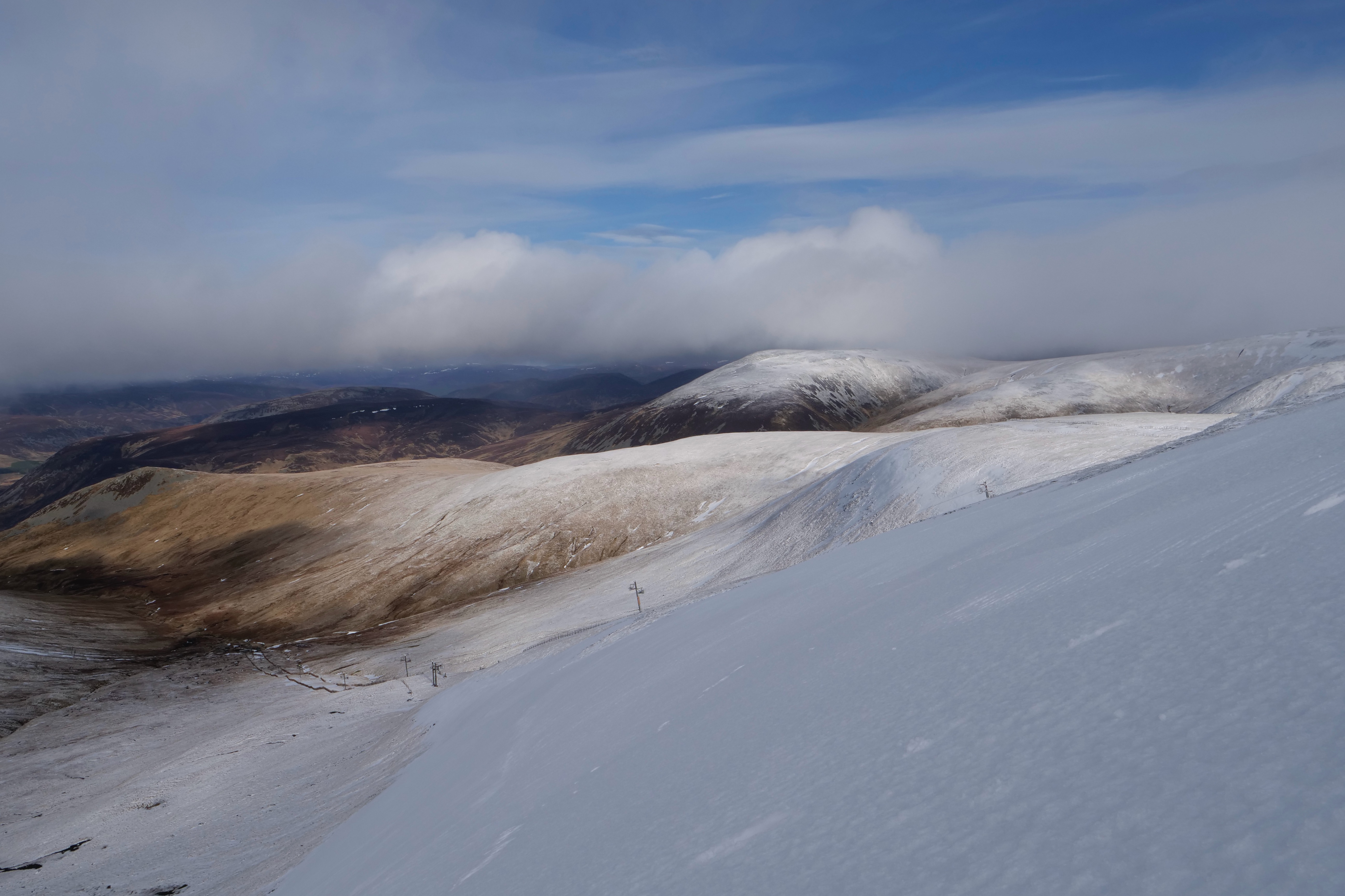
A view from top of Coire Fionn down the Glas Maol poma lift towards Carn an Tuirc 1019m
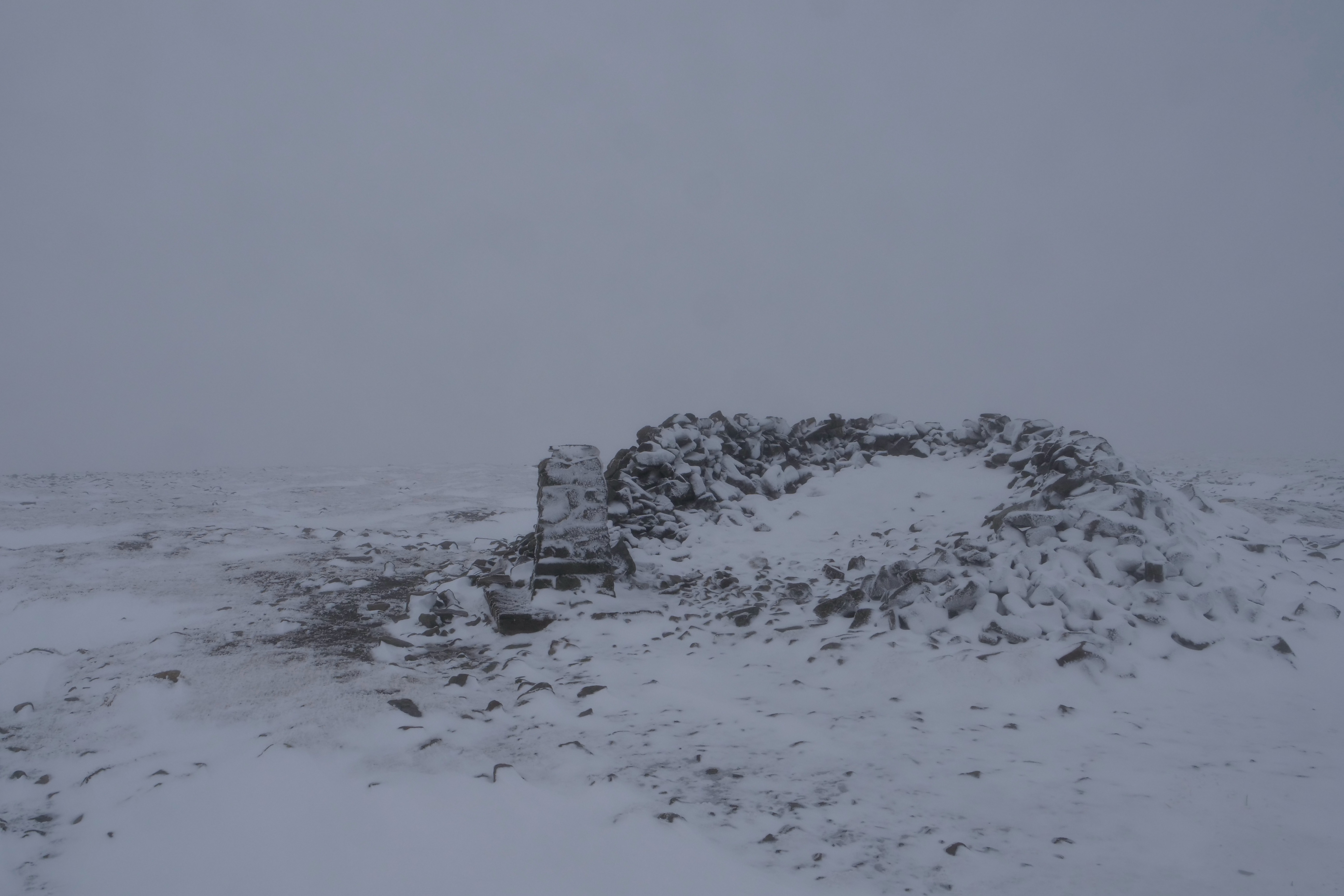
Summit of Glas Maol 1069m
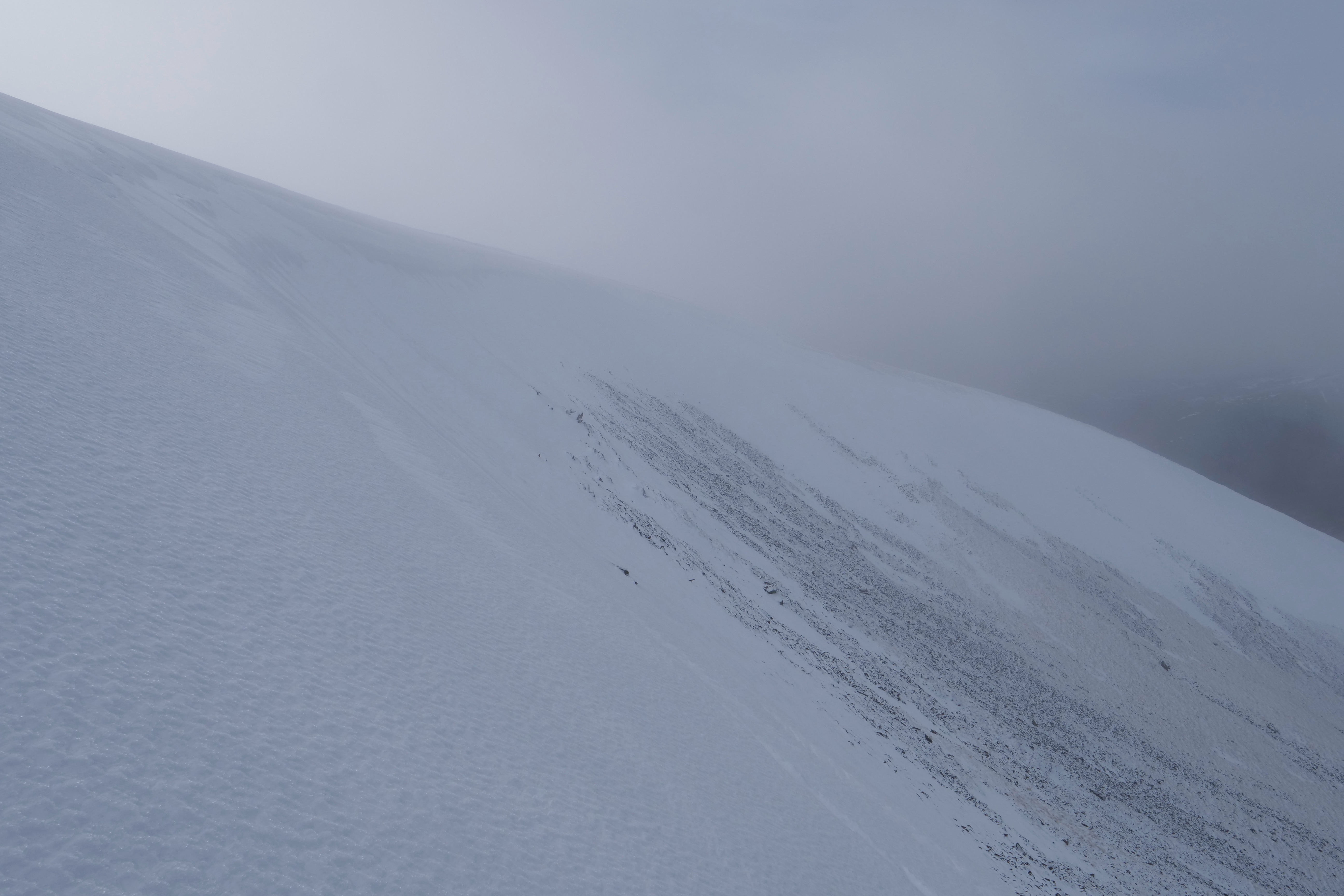
View across Coire Fionn, fresh windslab had developed on the coire rim.
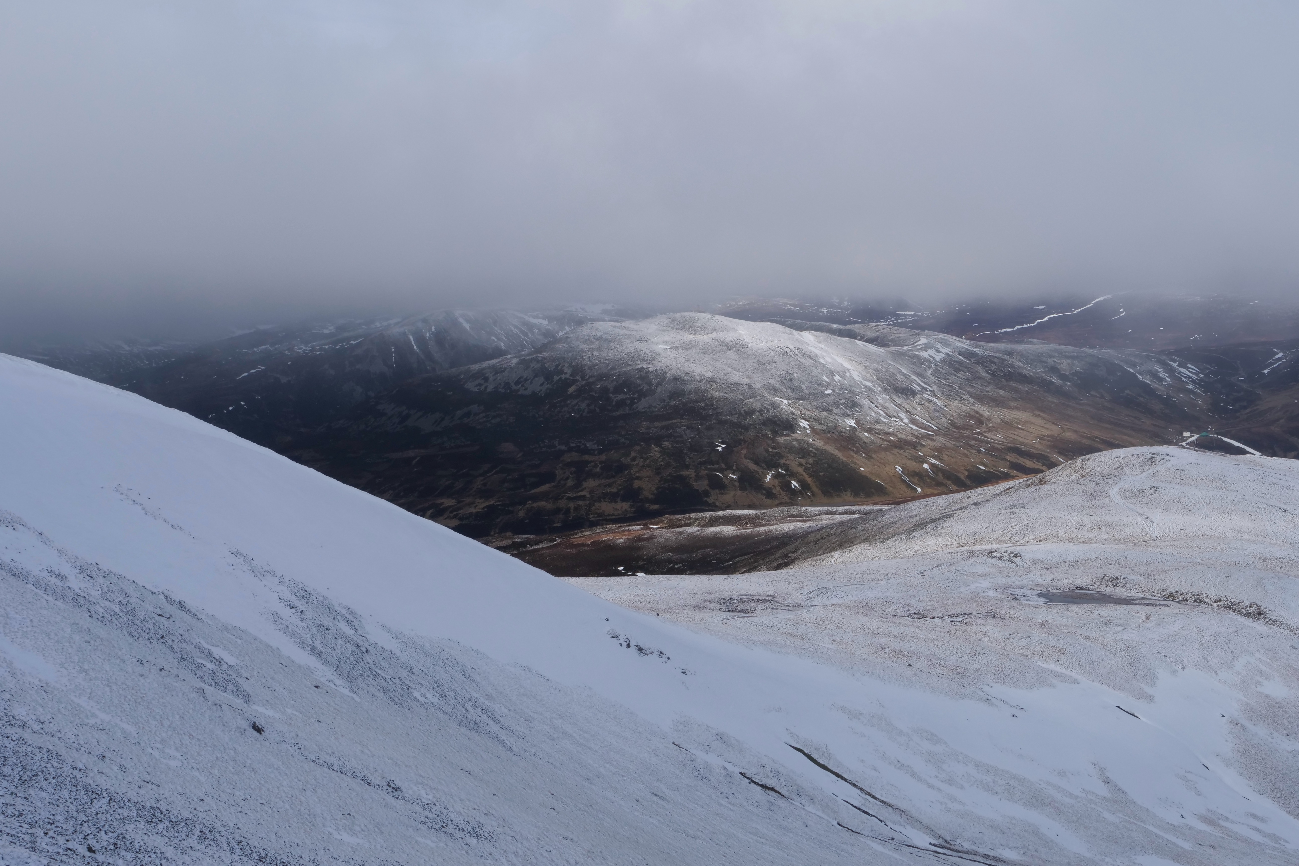
View from Coire Fionn towards The Cairnwell 933m
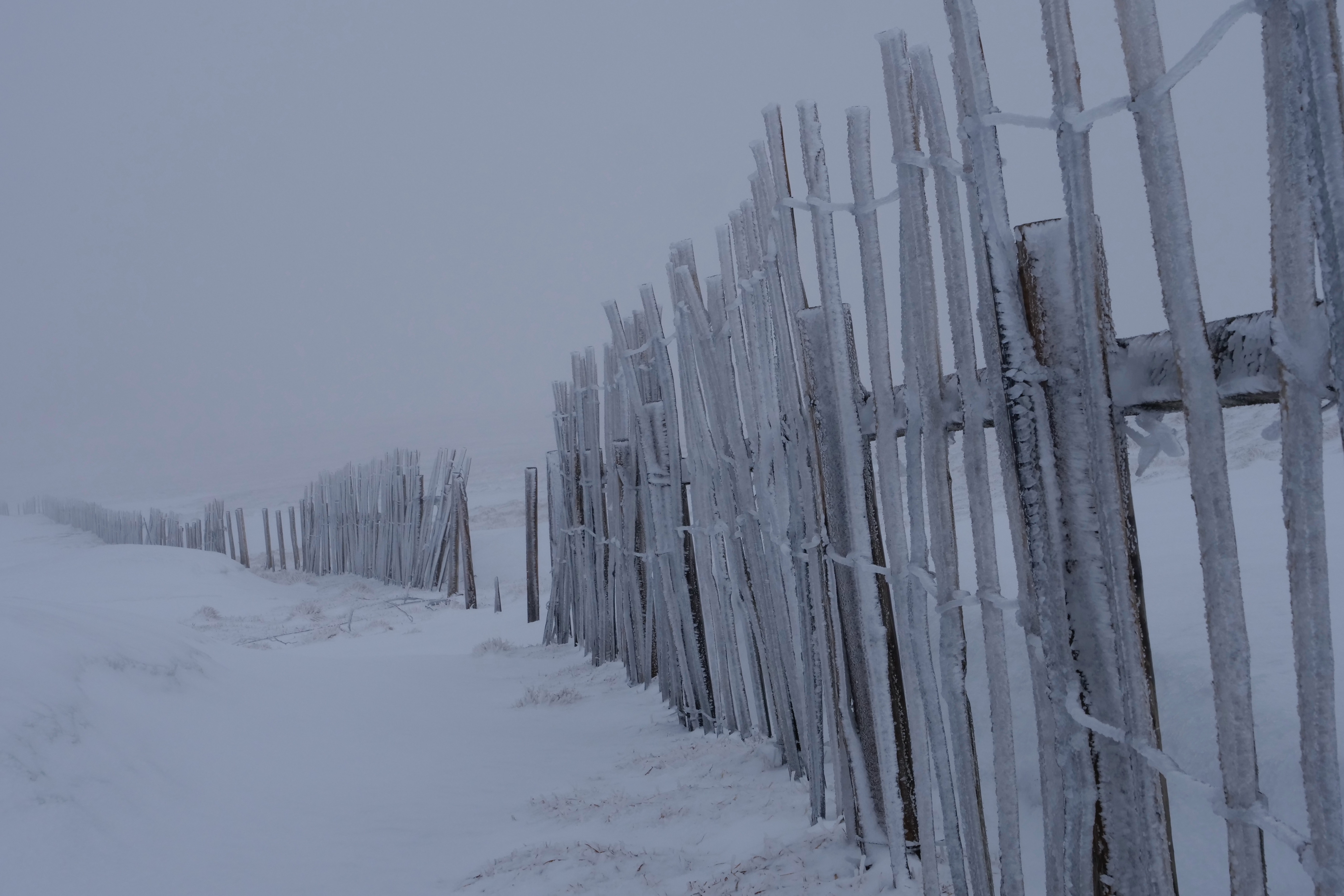
Rimed snow fencing at around 1000m
Shallow accumulations of windslab on top of the older snow patches which are now firm and icy in places.
Comments on this post
Got something to say? Leave a comment