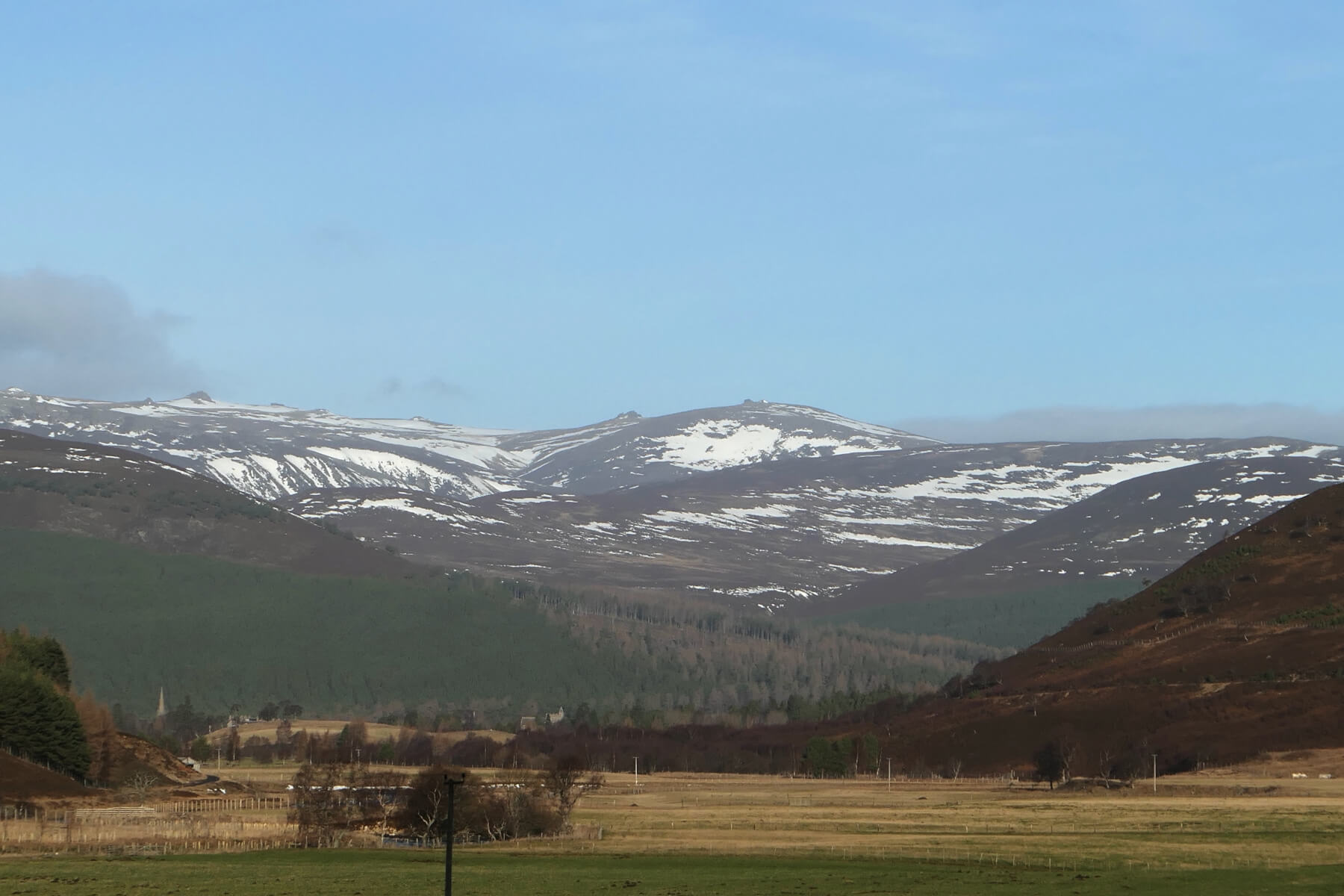
The thaw continues…
14th January 2025
Another mild and dry day in the Southern Cairngorms.
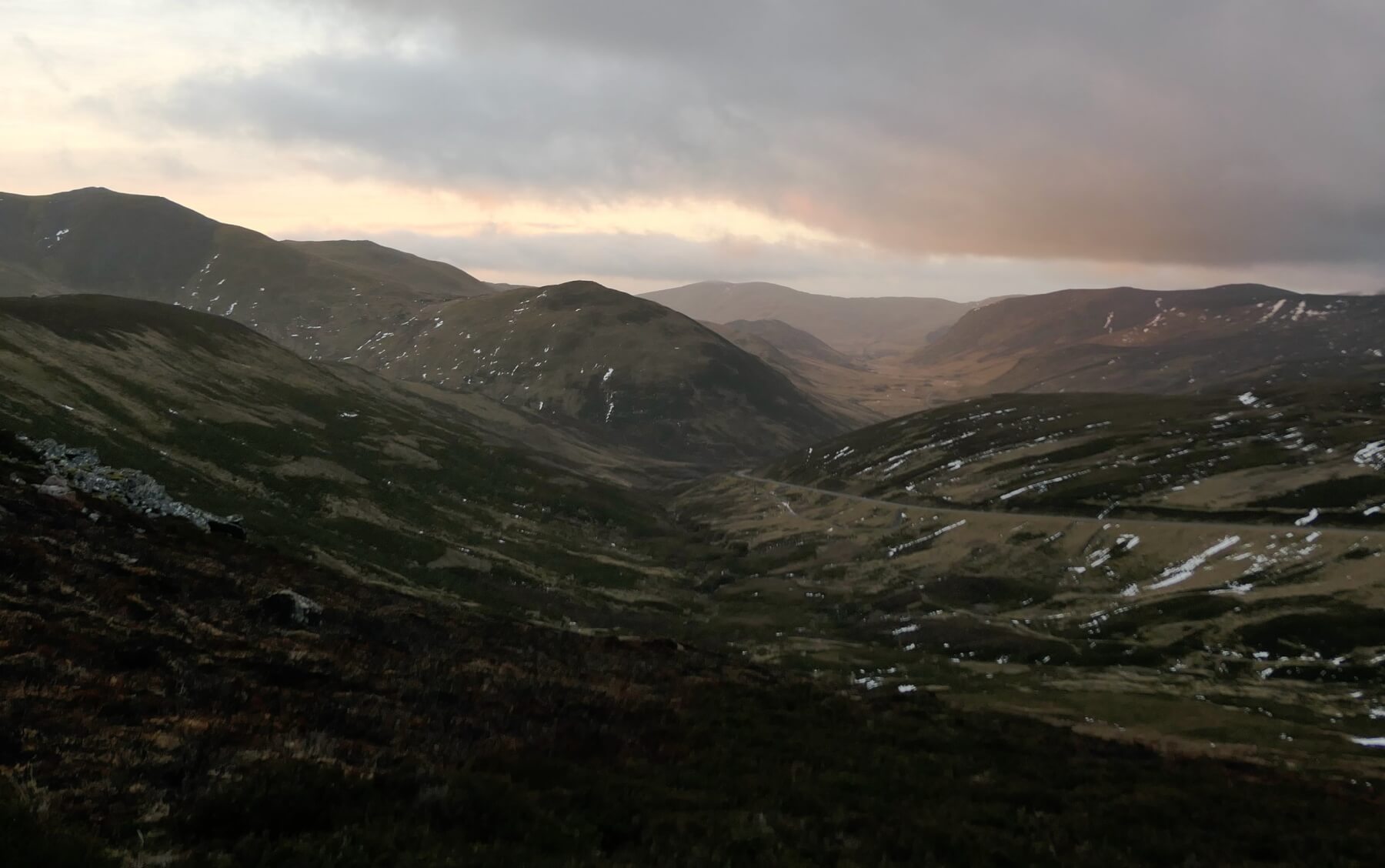
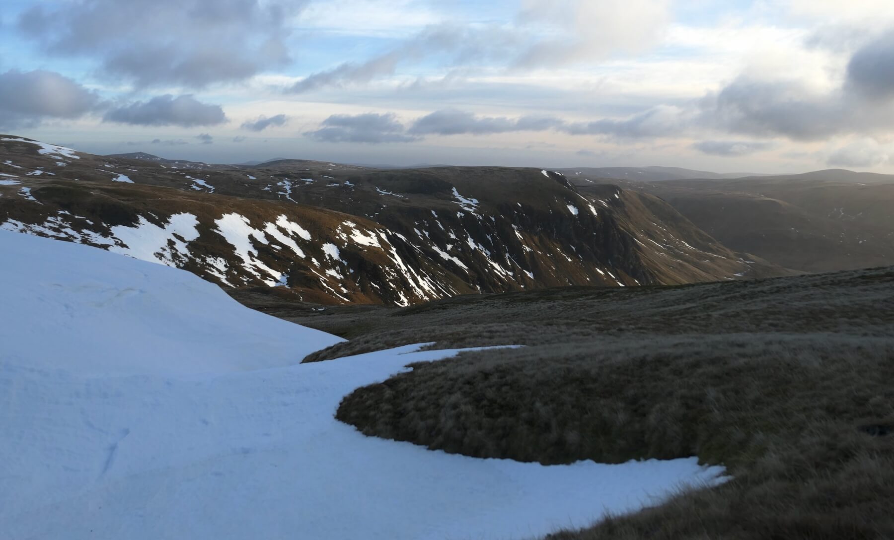
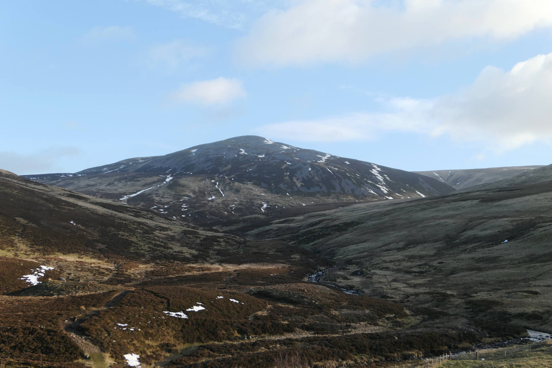
With better visibility today we were able to see across the range and see how much snow has disappeared. The greatest snow accumulations remain on East through South to South-West aspects above 900 metres. Elsewhere the snow cover is patchy, soft and wet. There are some small patches of ice still surviving but these are avoidable.
There has been been some frost heave in certain places with some of the gravel/vehicle tracks very soft underfoot. Frost Heave is an upwelling of soil during freezing conditions caused by ice expanding within the near surface layers of the soil, which then become soft once the ice has thawed.
The thaw is going to continue overnight and into tomorrow, with the freezing level expected to be around 3000 metres!
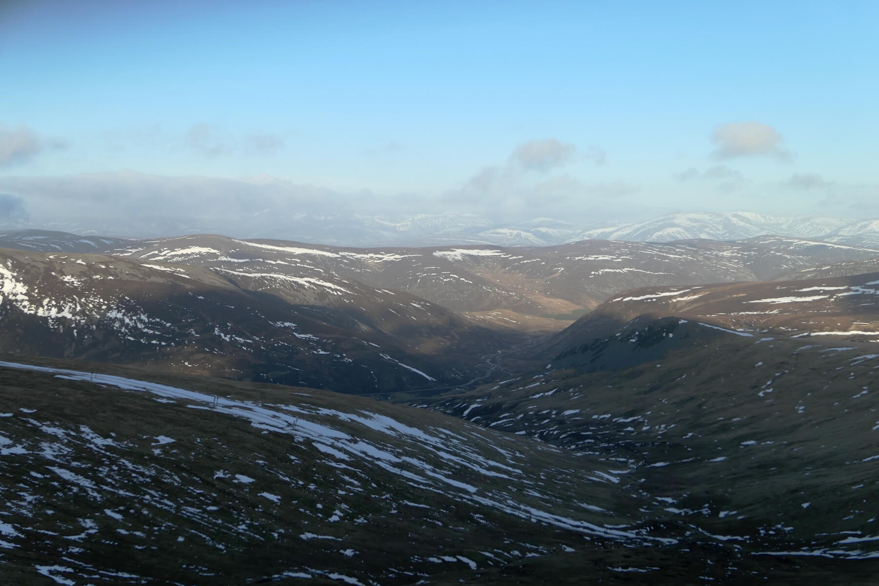
A view North from the top of Coire Fionn. The strip of snow in the foreground lies between the ski fencing of the Coire Fionn poma.
Comments on this post
Got something to say? Leave a comment
