Snow Forecast
5th January 2025
It was another beautiful day on the hill with very light winds – Pay back for all those days with storm force winds. As expected the cold temperatures have maintained a slow rate of consolidation with multi-layered windslab still present. Very limited distribution though and most areas have just a thin covering of snow.
All change this evening as snowfall has been forecast for the whole of the next period, with snow expected to glen level. The heaviest snowfall will be over the main Cairngorms, with lesser amounts forecast for the area around The Cairnwell and Glas Maol. It is definitely worth reading the Northern Cairngorms report if you are venturing into the Cairngorms tomorrow. Expect severe blizzard conditions with snowfall on gale force and severe gale force winds.
Looking towards the SW slopes of Ben Macdui
Looking across from Carn Crom to Cairn Toul and Braeriach.
Coire Sputan Dearg, Ben Macdui in the background on the left.
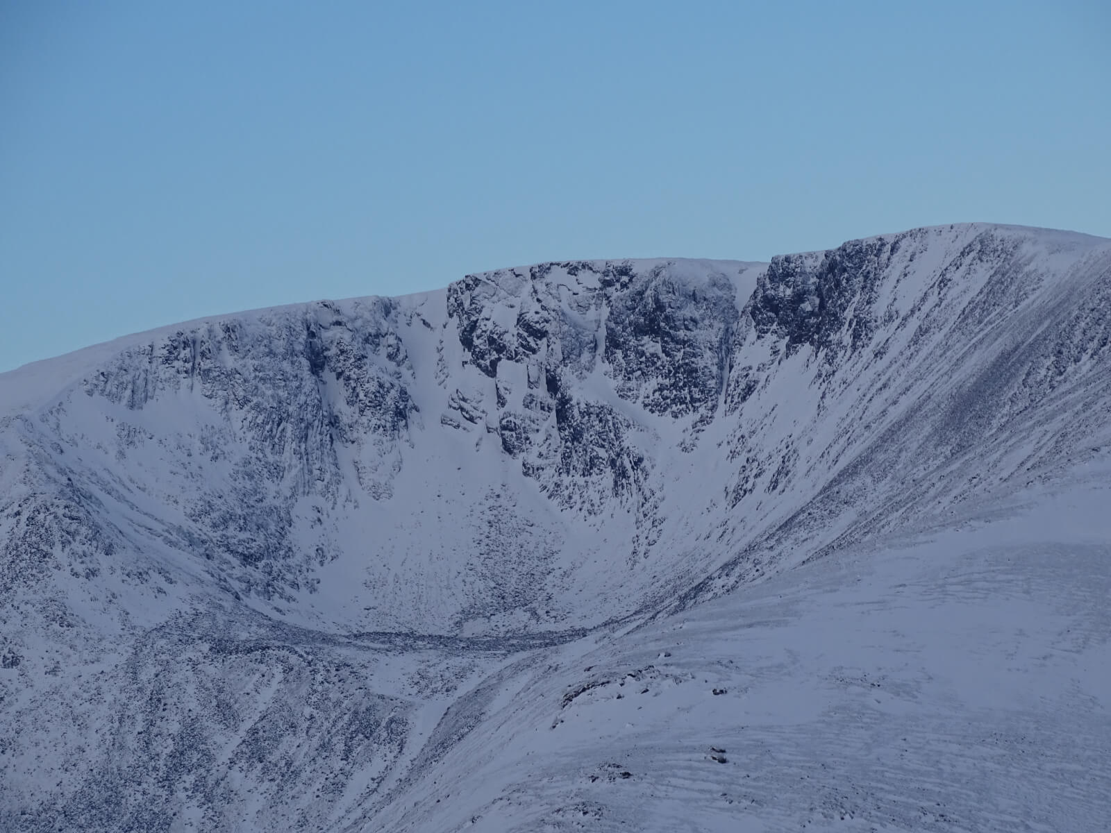
Expecting a lot more snow into this high corrie in the next 24 hour period
Trail breaking still required today in some places.
Small wind features present – still fragile – failing under body weight
Comments on this post
Got something to say? Leave a comment


