More shades of white…
12th January 2025
The cloud level was around 600 metres today, giving some challenging visibility and few photo opportunities.
Some redistribution of snow has deposited shallow windslab on North-West through North and North-East aspects above 900 metres. These are localised and mainly avoidable. The deepest accumulations remain on East through South to South-West aspects above 900 metres. The snowpack has begun to warm up due the milder temperatures but instabilities still remain within these deposits.
The freezing level is going to remain above there highest summits for the next forecast period with rain at all levels and very strong South-Westerly winds.
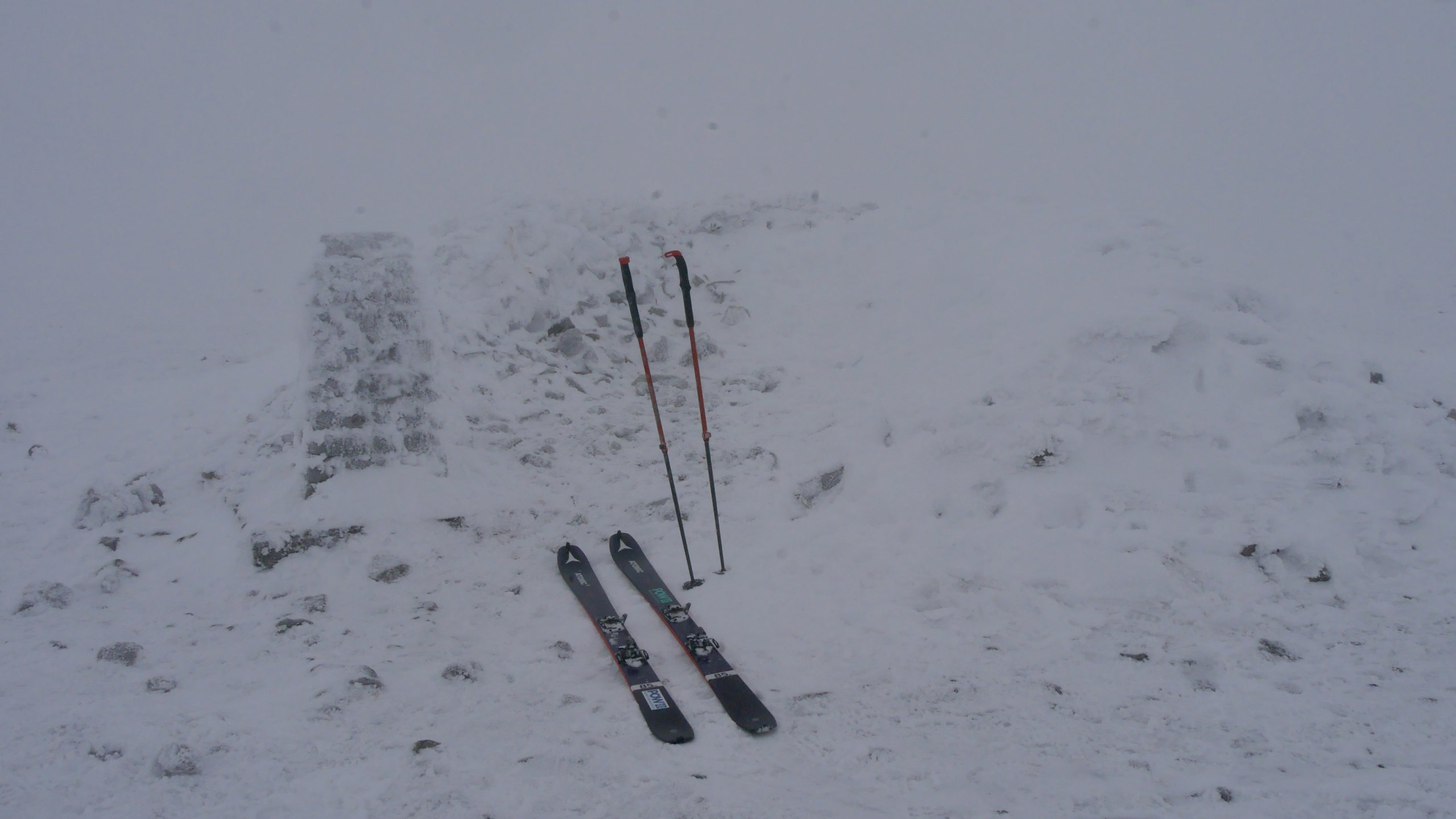
Summit trig point of Glas Maol 1068m.
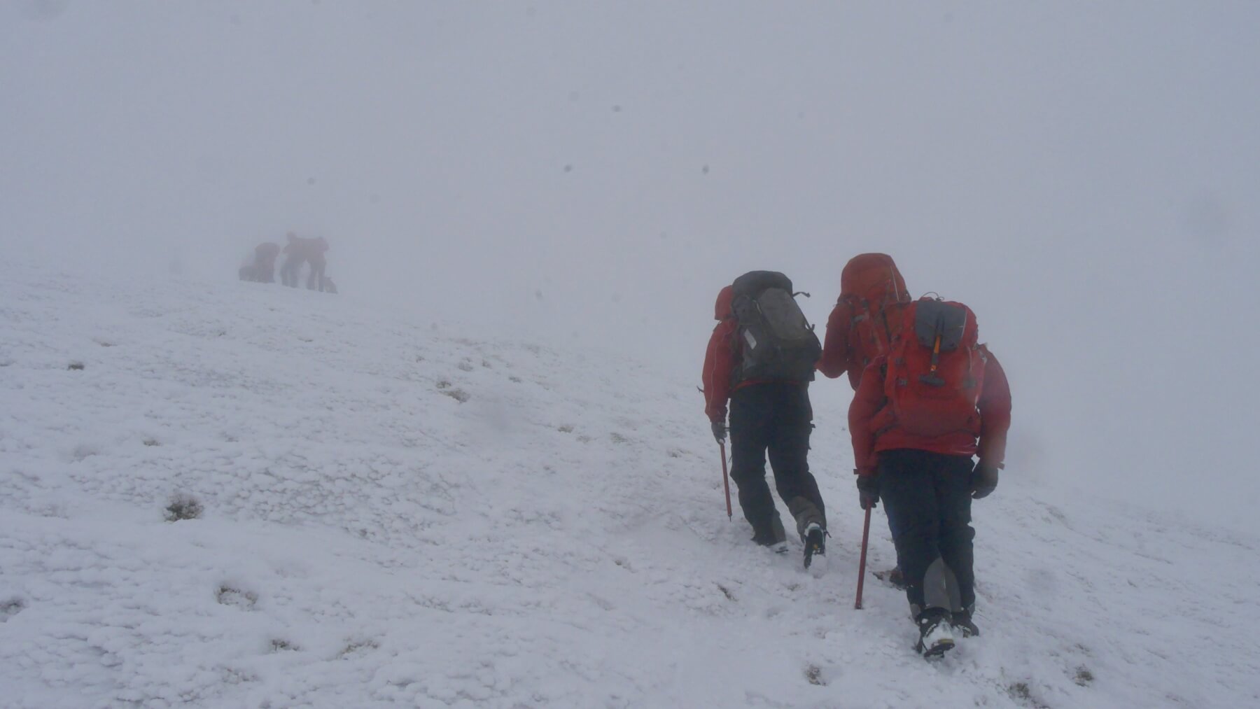
Member of the Ochils Mountain Rescue team heading up to the Glas Maol plateau.

Double rime ice on the snow fences at 850 metres. Rime ice builds into the prevailing winds. The ice on the right is from the recent Northerly winds, while the ice on the left of the poles is from the Southerlies of the last few days.
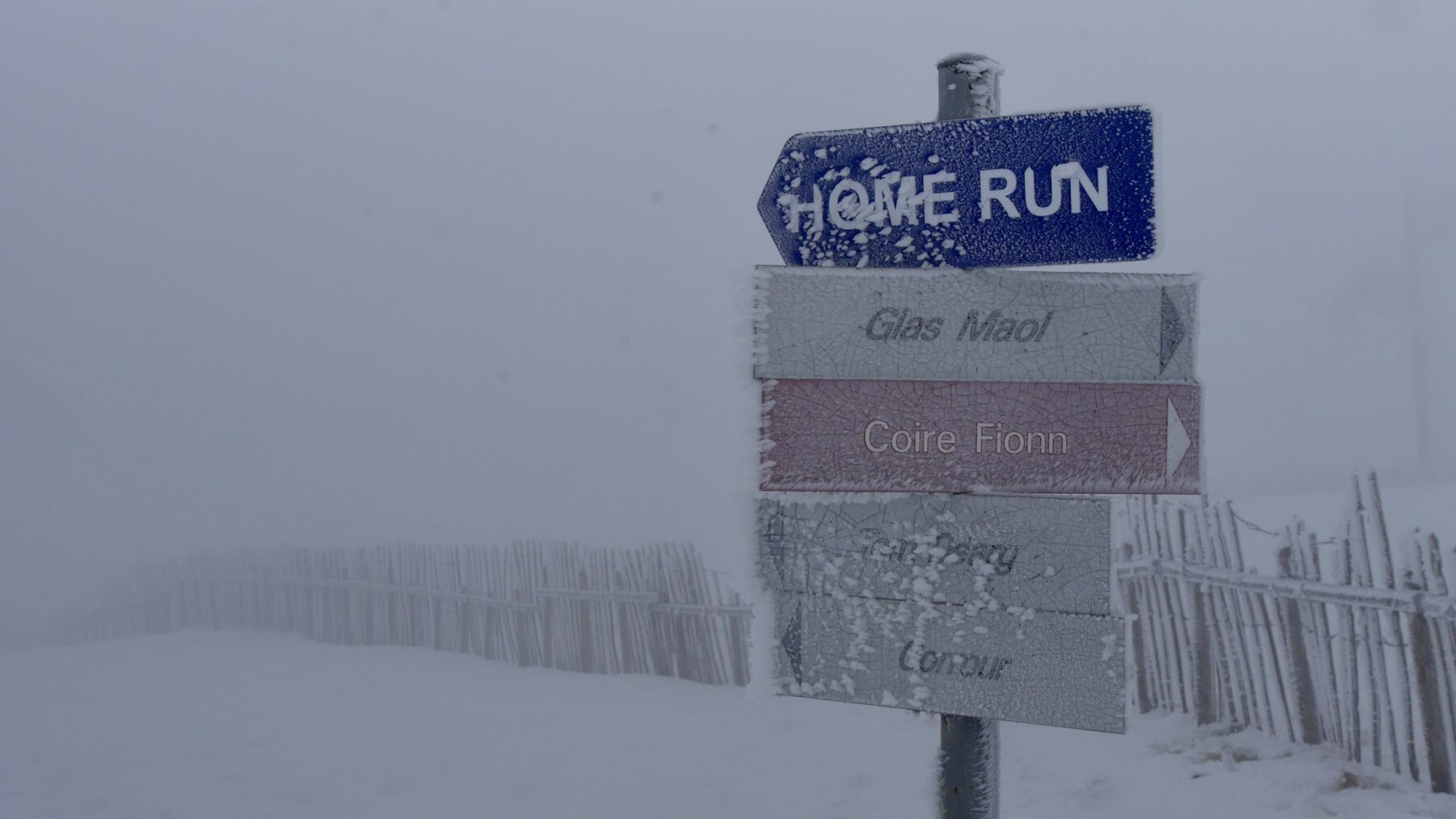
Rime ice on the ski run signs at approx. 850 metres. Compare with the following photo.
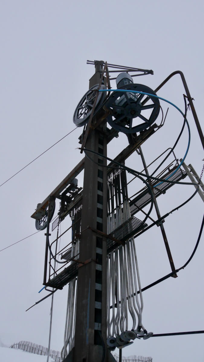
The ski lift infrastructure at 750 metres. This photo was taken approx. 15 minutes after the previous image. Note the lack of rime ice with 100 metres of altitude difference.
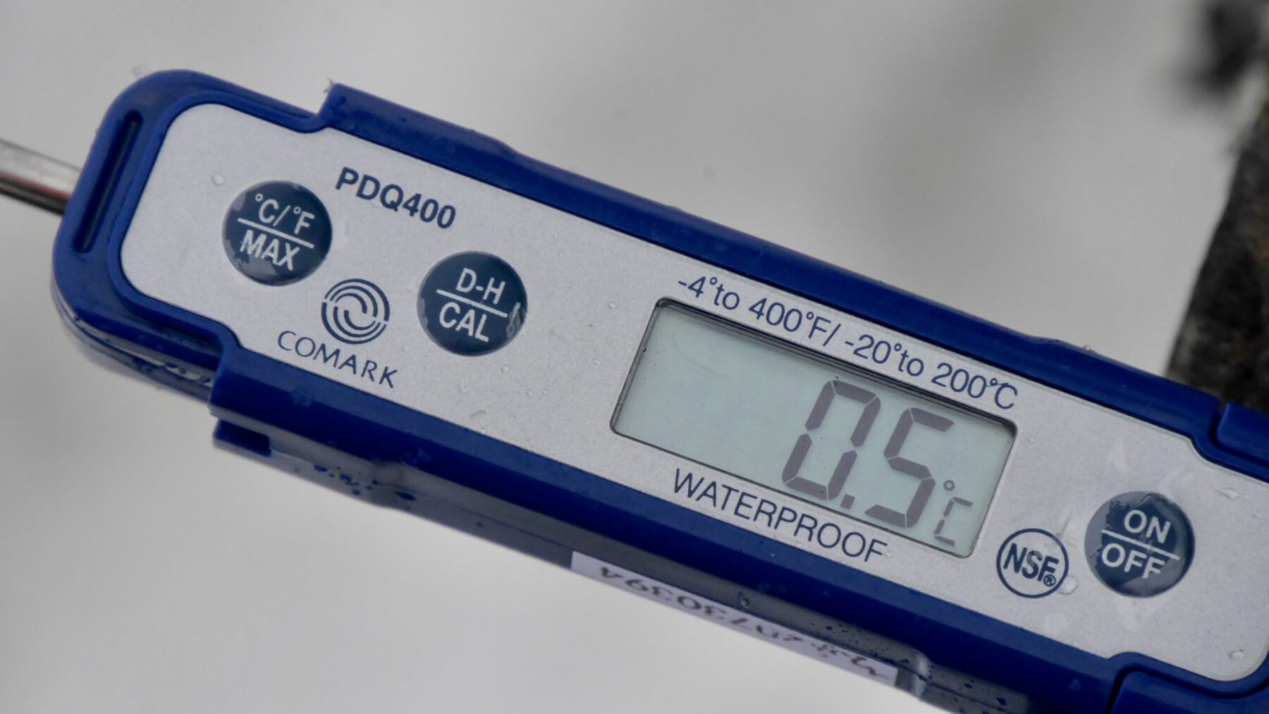
Air temperature reading at 750 metres at 13:00 hrs. The freezing level also rose steadily during the day.
Comments on this post
Got something to say? Leave a comment


Ben Law
12th January 2025 10:36 pm
It was great to meet you this morning. Thanks for the advice and good luck for the rest of the season
David Woods
13th January 2025 11:34 am
Excellent “double riming” photo. That may cause some initial confusion without reference to weather forecasts/history and without careful observation.
Thanks for your continued reports in difficult conditions.
Dave