New snowfall.
15th March 2024
As the freezing level dropped, rain turned to snow above 600 metres leaving a light covering on most aspects. Visibility was generally poor but there was some improvement when it stopped snowing late morning. No significant drifting snow was observed but the ground is certainly whiter above 900 metres than it has been recently.
Forecast to be cold tonight, the snow cover is expected to refreeze becoming firm and icy in all locations.
With more snow around our Northern boundary it will be worth checking the SAIS North Cairngorms report if heading for the high summits.
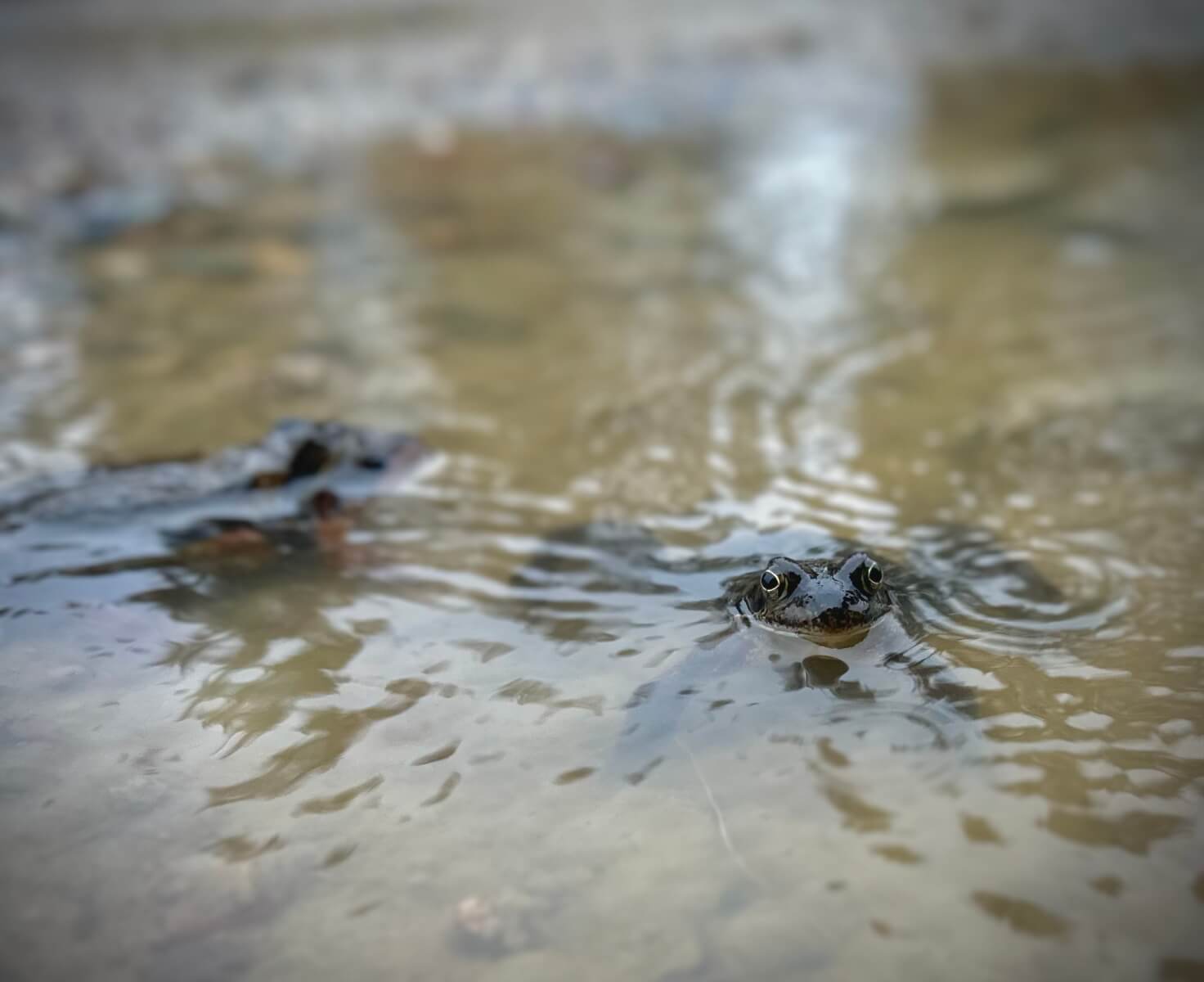
Frogs in the Glens definitely think Spring has sprung!
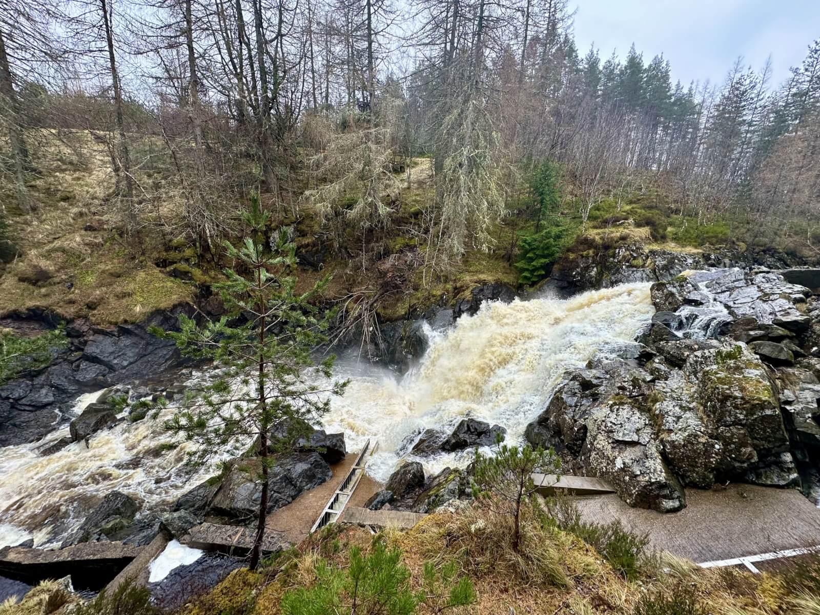
Plenty water in the River Muick. Rainfall turning to snow around 550 metres but thawing fast sub 900m. Not a surprise I had to wade the burn coming back from Lochnagar!
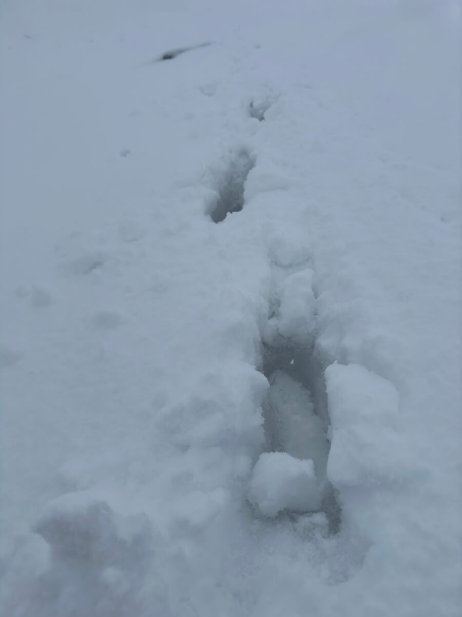
Initially thought we had quite a lot of new snow but a closer look revealed all the older snow had thawed becoming moist and soft. Hopefully it’ll be cold enough tonight/tomorrow to refreeze.
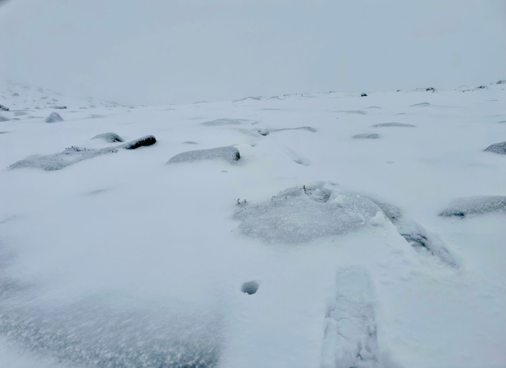
New snow gained depth with altitude. Here at 920 metres the snow was soft and wet with no base. No drifting of snow was observed up to 1000 metres despite the strong winds.
Comments on this post
Got something to say? Leave a comment