Lochnagar
23rd March 2024
It was a bit of a battle into the westerly and north-westerly winds into Lochnagar today. But worth it to get a glimpse into the north facing coires.
Snow last night was followed by snow squalls for much of the day. This has resulted in some accumulations of windslab on North through East to South-East aspects above 950 metres. These are in some cases localised, but also specific to areas close to the coire rim, gully tops and convexities.
Although moderately bonded in many cases, these accumulations will become more widespread and achieve greater depth in the next 24 hours.
Lochnagar probably had less snow than the areas to the west and north in the Southern Cairngorms area, and it is worth checking the Northern Cairngorms forecast if heading into the main massif of the Cairngorms from the south. Fleeting glimpses of Beinn a’Bhuird and Ben Avon gave a very white picture…
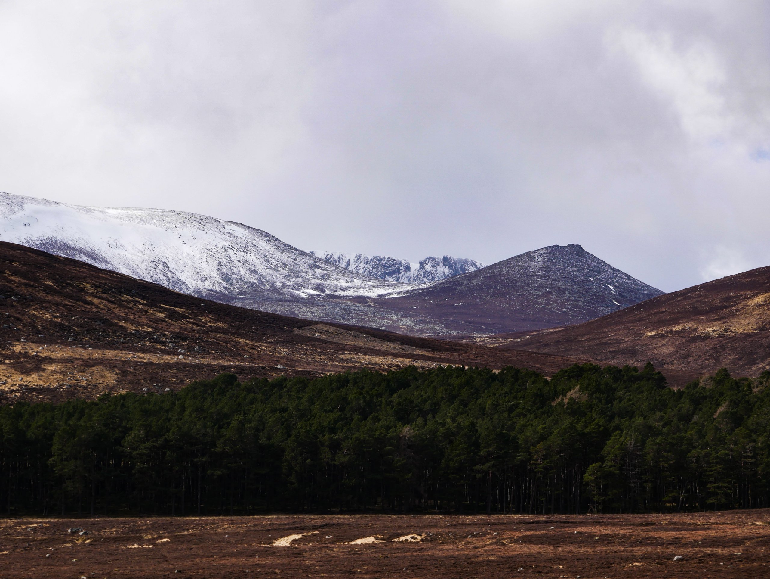
Looking towards the cliffs of Lochnagar from Glen Muick. Spring in the glens, while very much winter aloft.
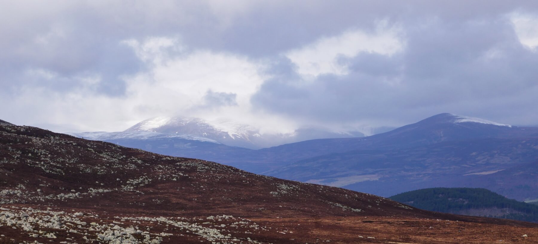
Looking over to Beinn a’Bhuird. I suspect that the lowest extent of the snow in this picture resides close to Carn Fiaclach and Allt an t-Sneachda which reliably holds snow until late in the season.
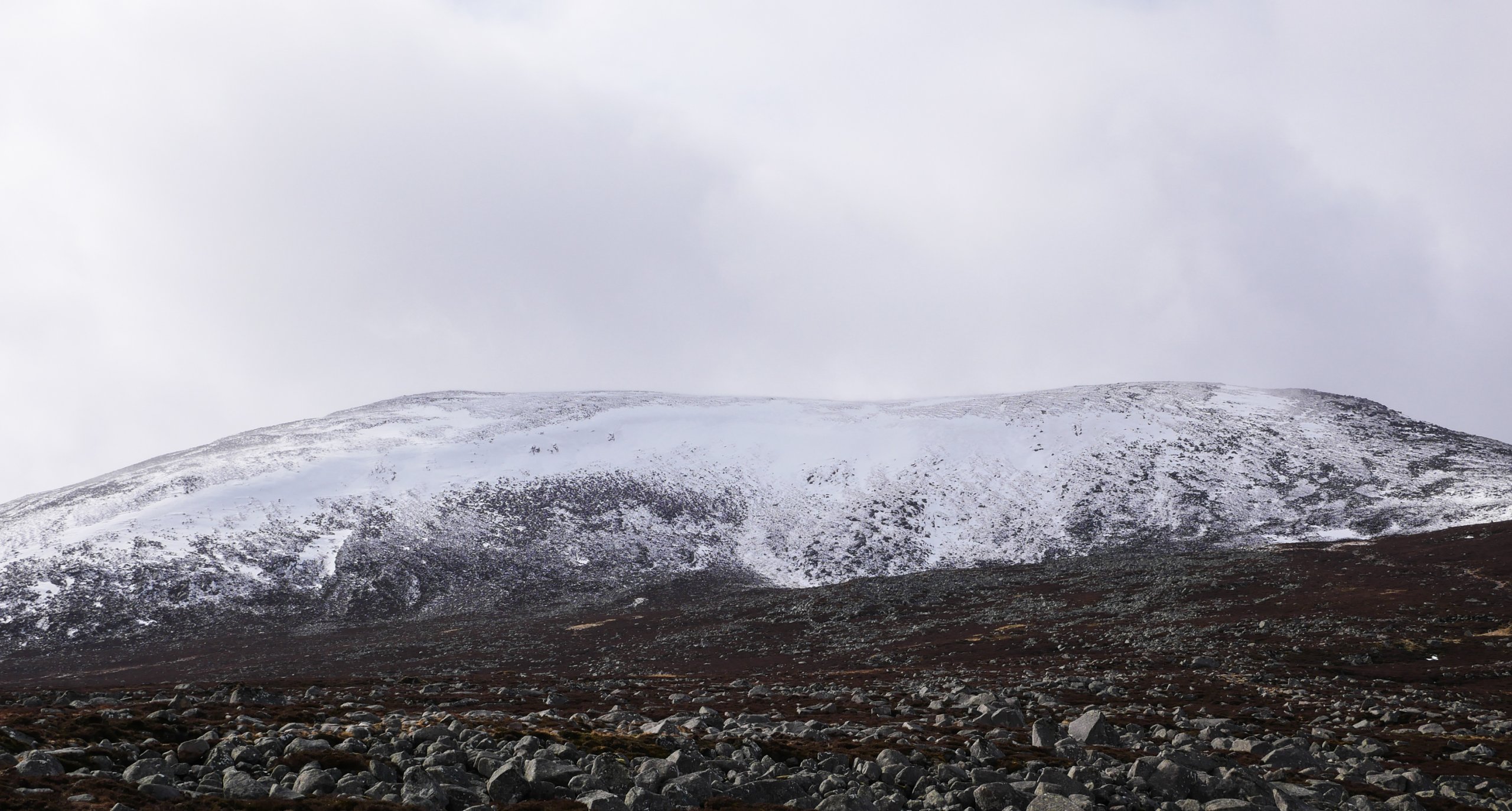
The North-East facing slopes of Cuidhe Cròm seen from Clais Rathadan on the approach to Lochnagar. Difficult to tell from the image but this slope had provided a good catching zone for the accumulation of windslab overnight even at the modest altitude of 960 metres. A marked difference to the feel below 950 metres which is largely devoid of snow.
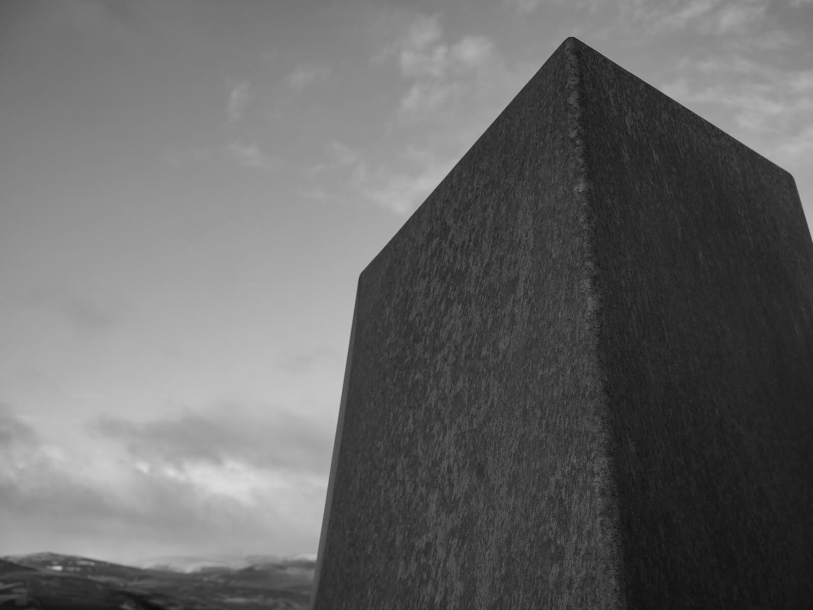
The four specially commissioned sculptured seats on the A939 near The Lecht. Great views of Corgarff Castle from here and towards Ben Avon and cairngorms interior.
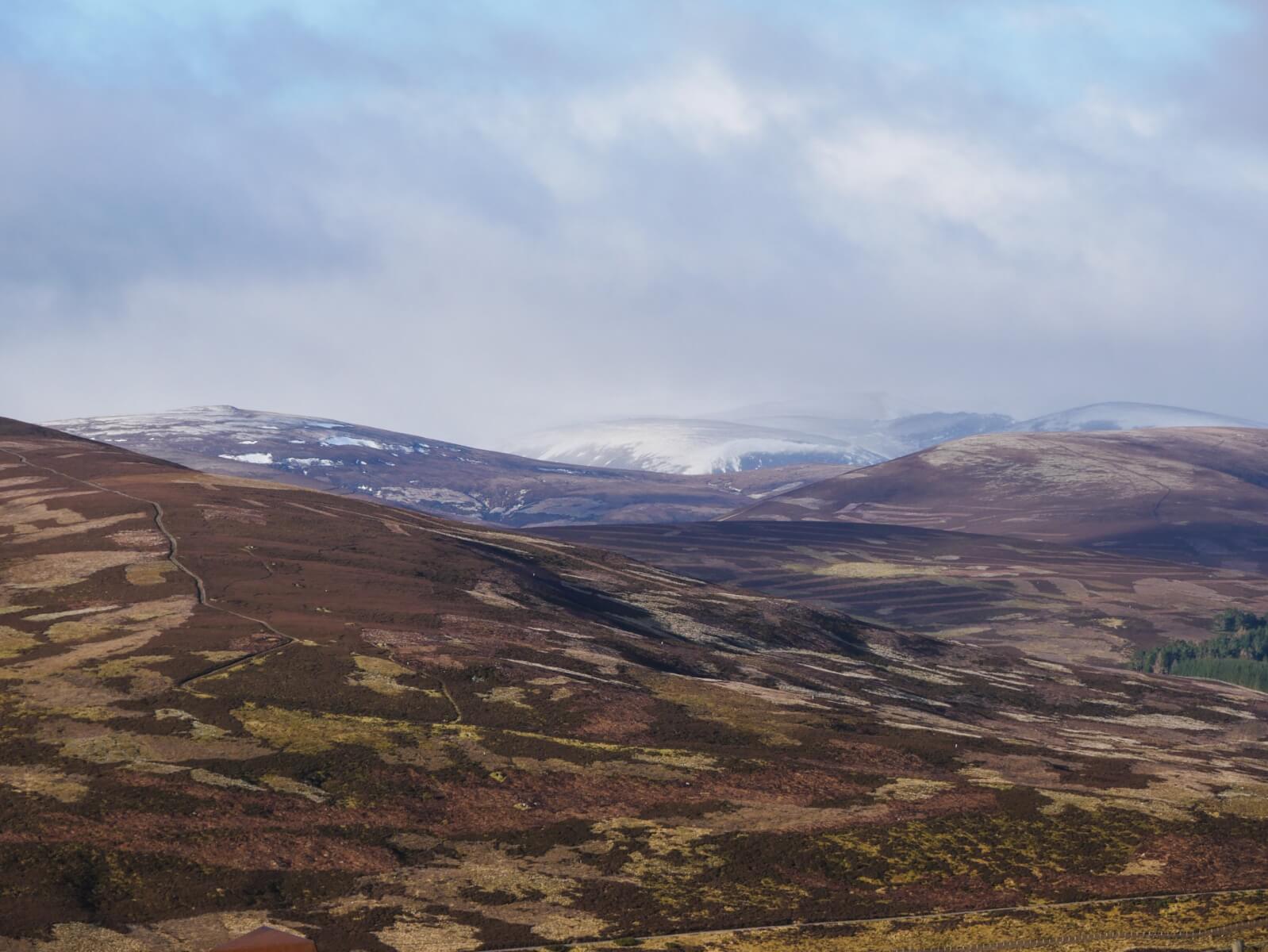
Looking towards Ben Avon early this morning. Note the obvious snow accumulations, here on convex East to South-East slopes. Much more snow in the west of the area.
Comments on this post
Got something to say? Leave a comment


