Much better…
22nd February 2024
A sunny, cold, dry and windy day – a return to winter!
The freezing level dropped quite dramatically yesterday evening and the evening rain turned to snow. Fresh and weakly bonded windslab has developed on North-West through North to South-East aspects above 900 metres. This windslab is mostly confined to the coire rims and gully tops and is shallow and has limited distribution. With good visibility and careful route planning these deposits should be avoidable.
It is forecast to remain cold for Saturday with only a trace amount of further snowfall. Winds will be fresh to strong South-Westerlies.
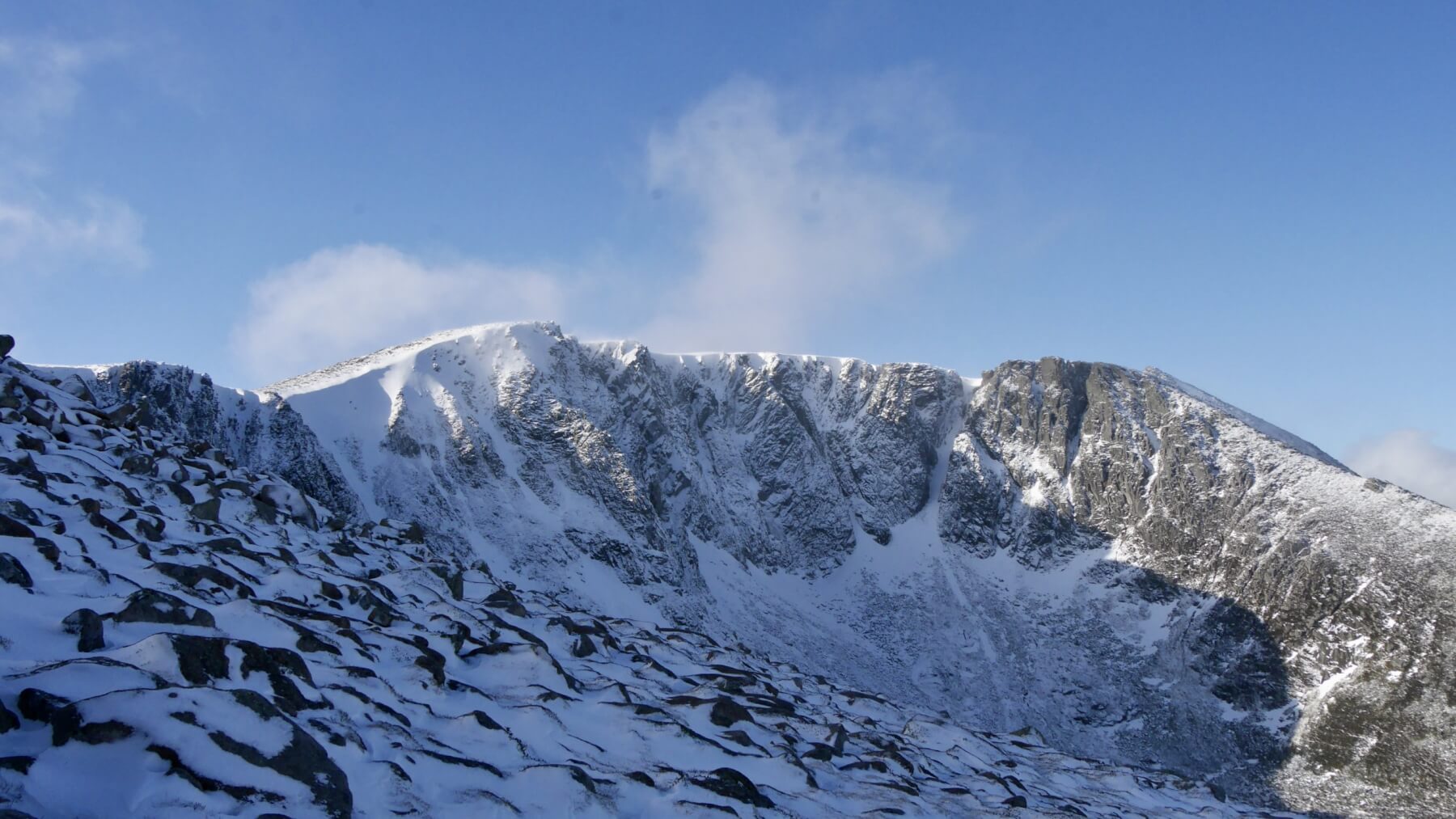
The mighty Lochnagar 1156 metres
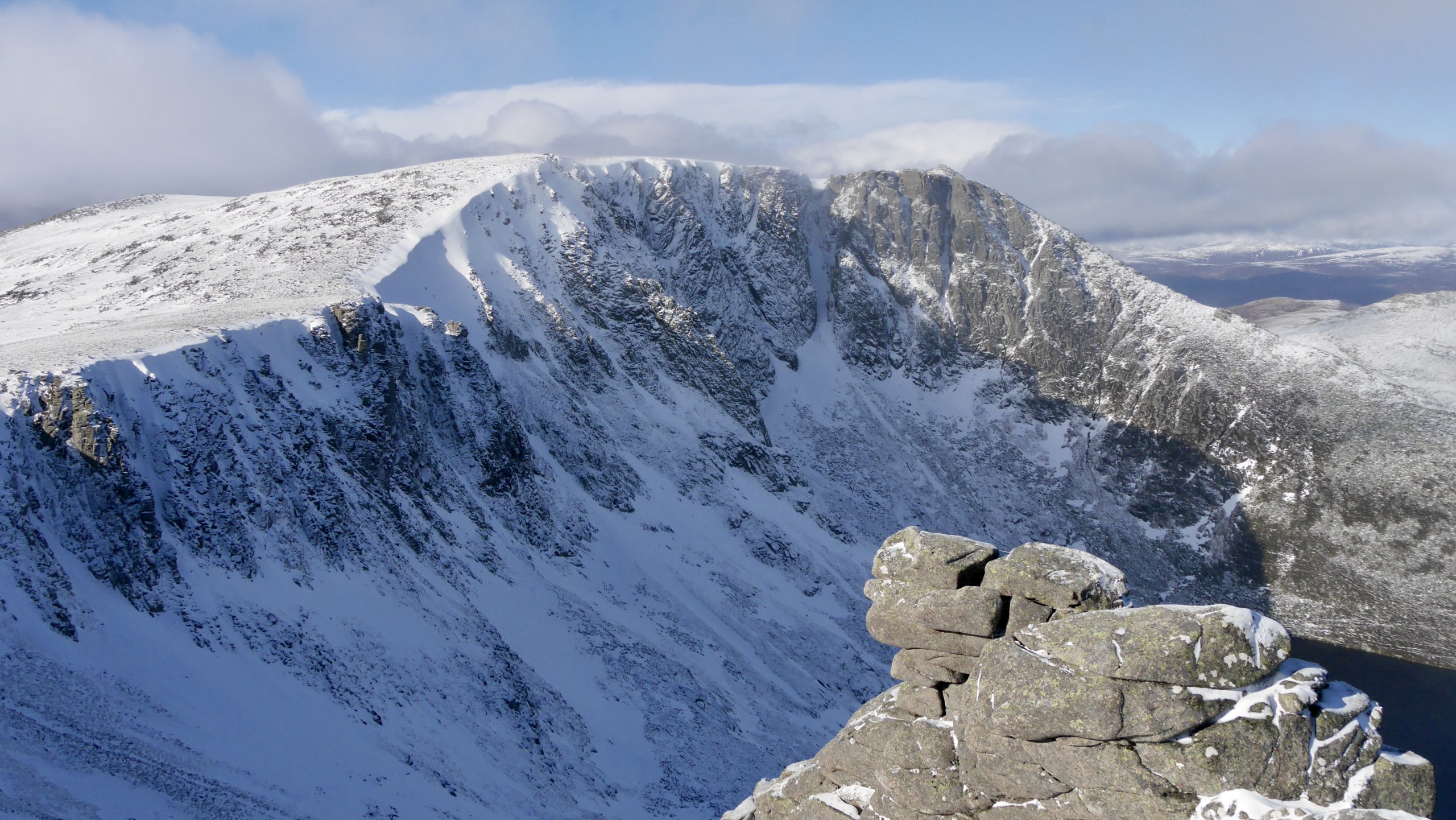
Lochnagar, Black Spout and the Pinnacle Face.
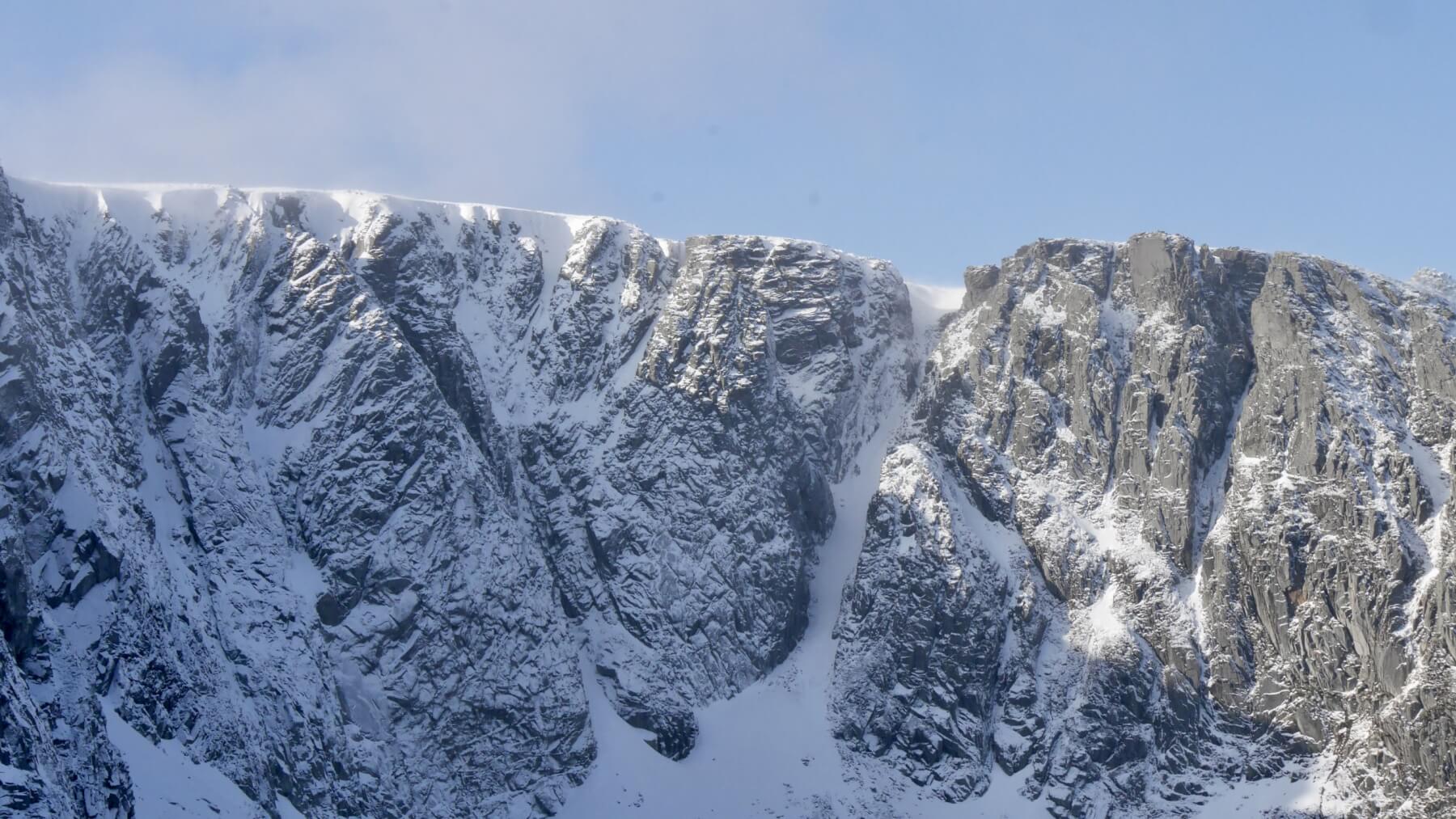
Fresh, shallow windslab on the coire rim leading up to Central buttress.
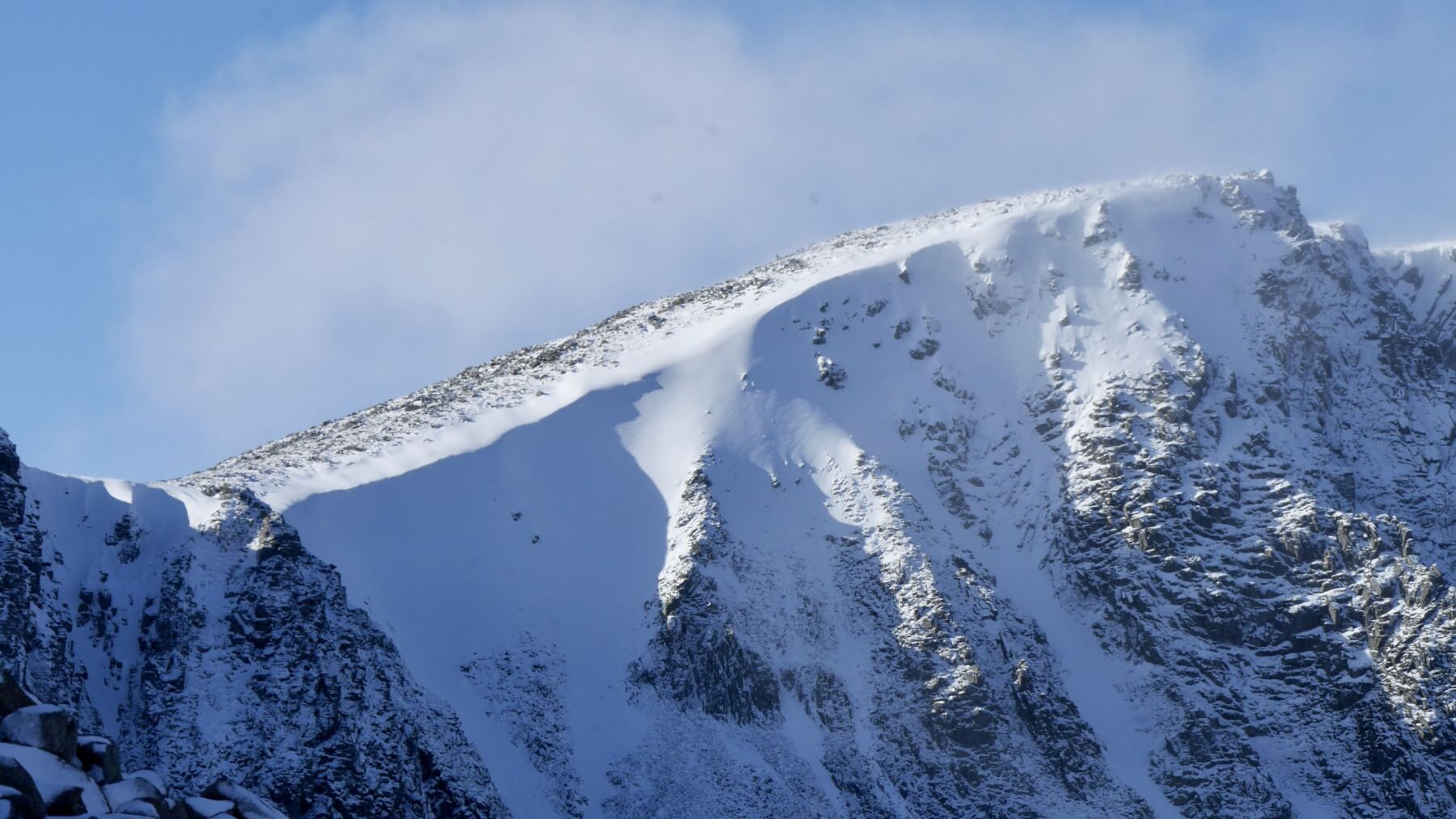
Another view of Lochnagar.
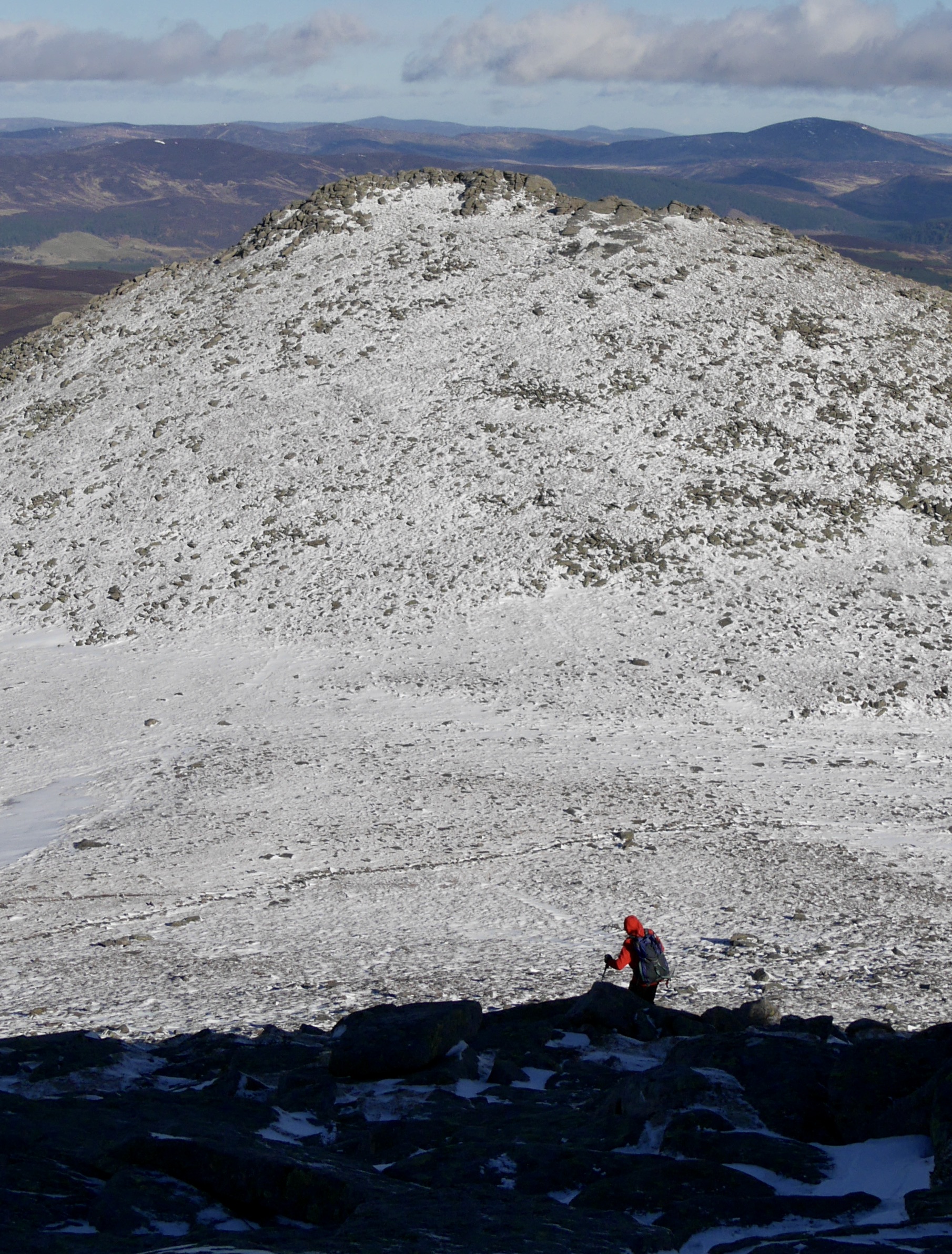
A walker descending towards the Col and Meikle Pap 980m
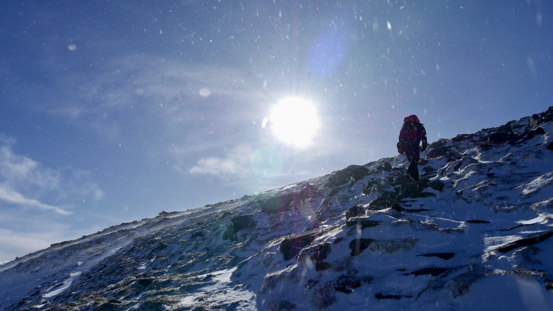
Reaching the top of the Ladders, spindrift and sunshine.
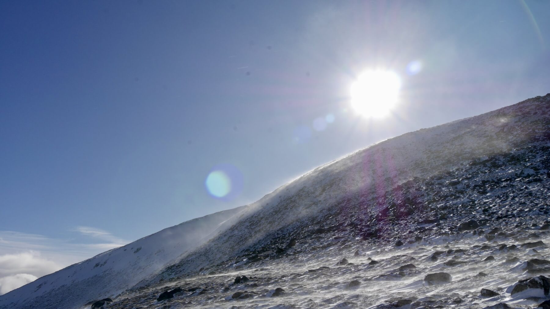
Strong South-Westerly winds redistributing the fresh snow.
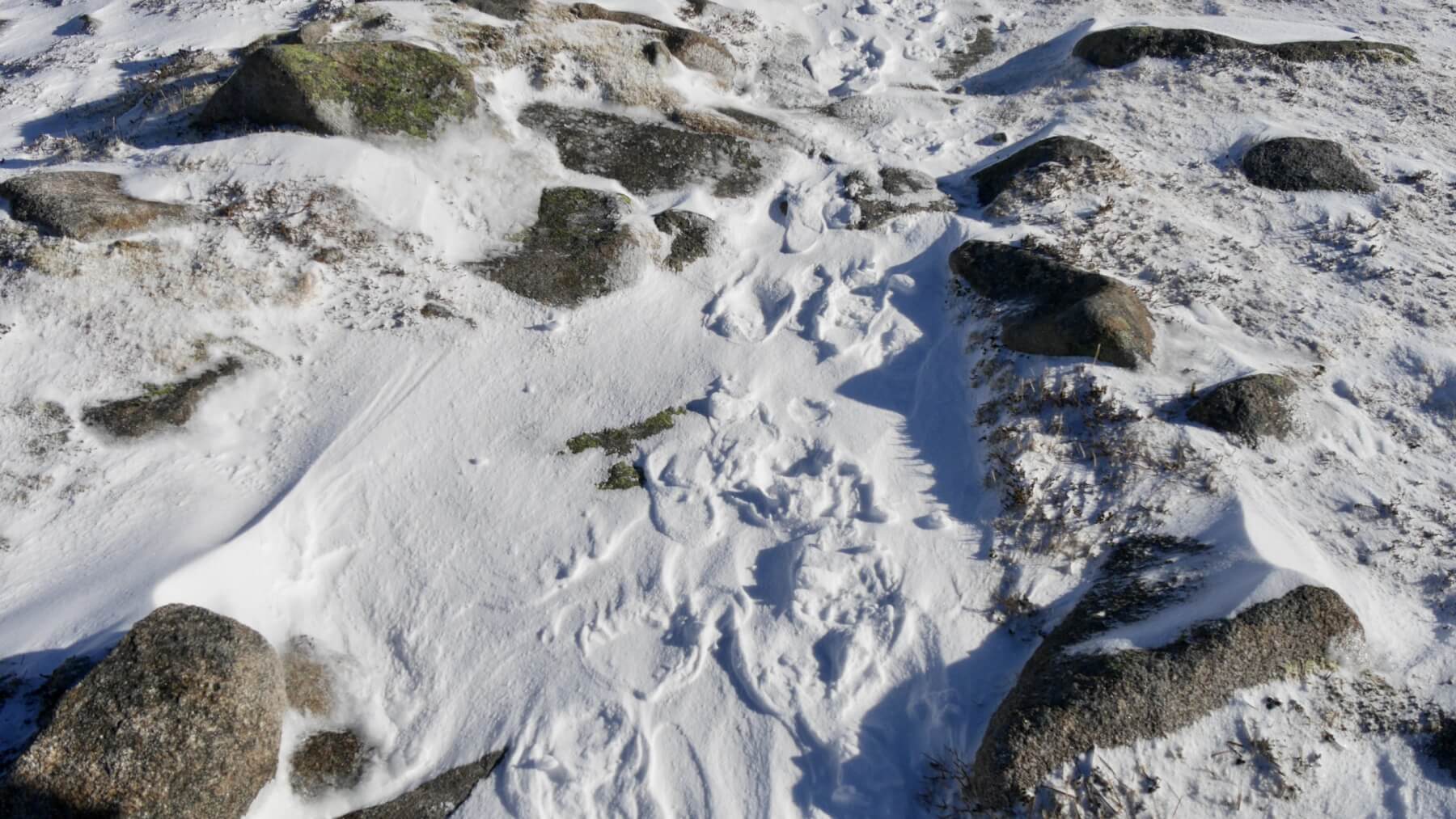
Raised footprints on the footpath leading to the col. The compressed snow under people’s boots resists the wind whilst the undisturbed snow is blown away.
Comments on this post
Got something to say? Leave a comment