Another Windy One!
3rd February 2024
Super windy overnight again with some powerful gusts punching through. It stayed windy first thing this morning but eased slightly as we moved into the afternoon. Despite the mild conditions yesterday, the snow has developed a strong crust from around 900 metres as the freezing level lowered overnight. Any patches below this altitude are mostly very small but reasonable cover is present in North to East facing corries above 900 metres. The surface layers are pretty firm and icy in places with plenty of rocks showing through to arrest any slips or trips!
Some limited snowfall forecast for Sunday with North Cairngorms potentially receiving a bit more – So if you are venturing into the NC/SC high boundary mountains please take a look at the North Cairngorms Avalanche forecast as there will be more windslab developing there. The weather remains unsettled for the next 48 hour period.
Todays photos were taken during a snow shower so everything looks a bit gloomy but they give you the general idea in Lochnagar…
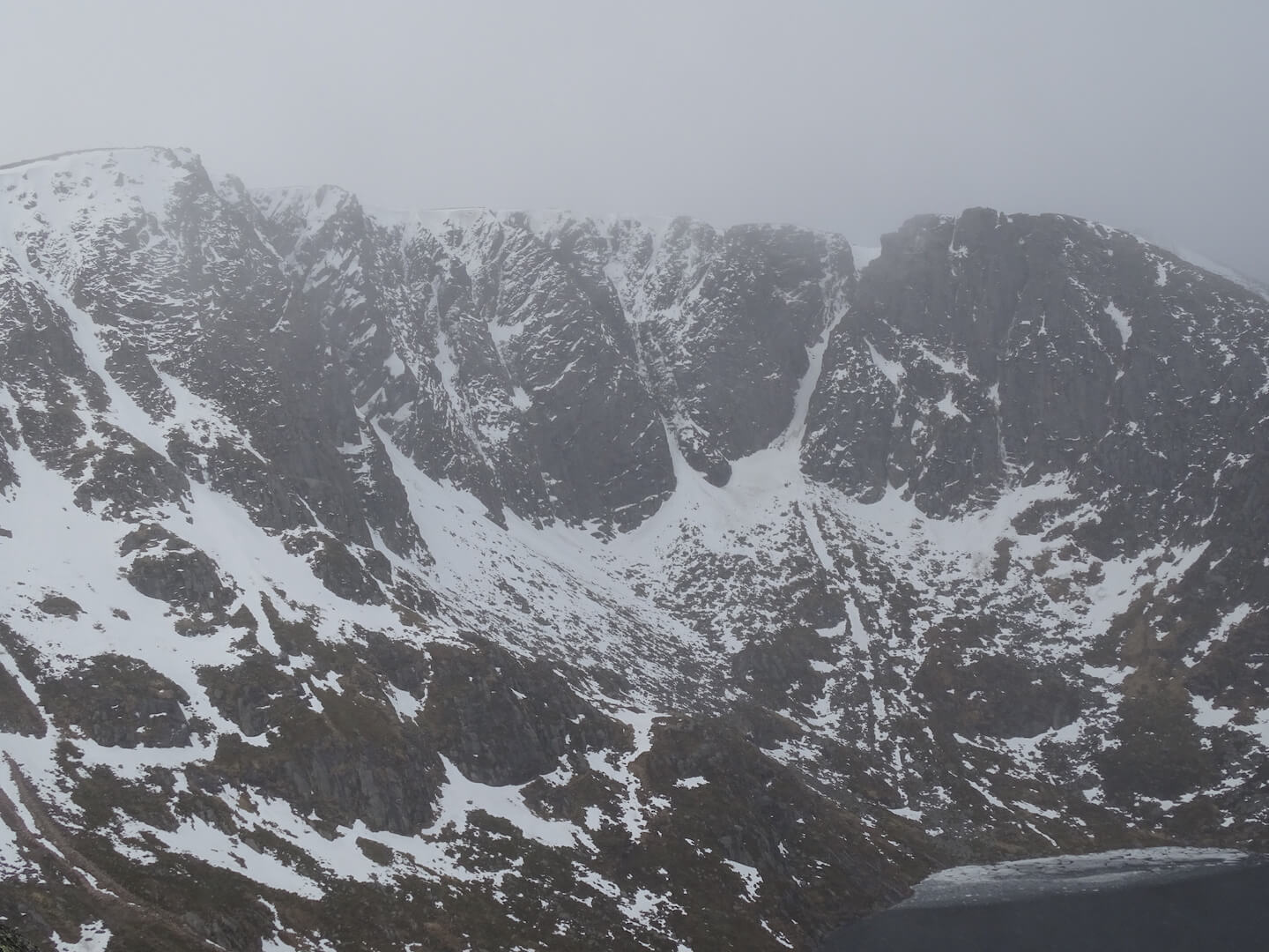
The main cliffs
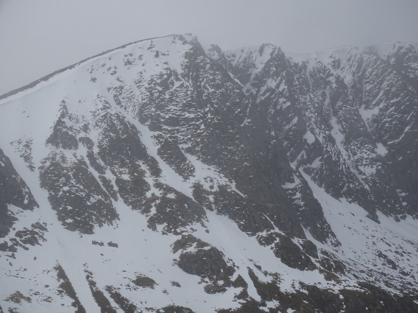
Central Buttress area in front, Eagle Ridge, Parallels behind
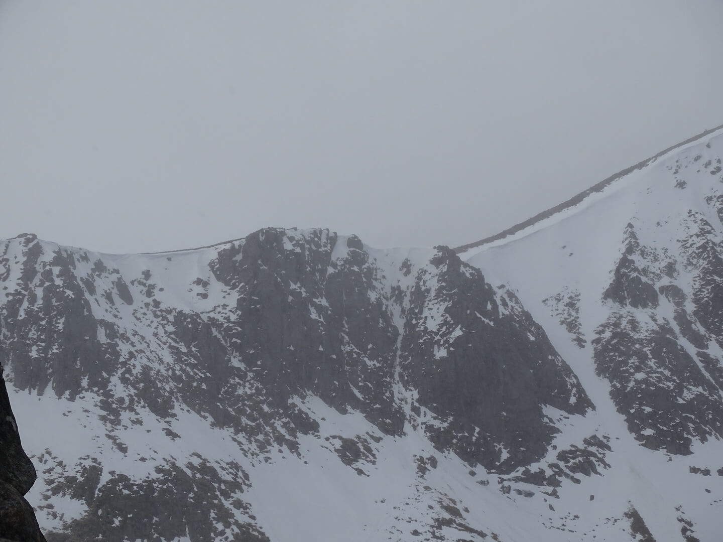
Central Gully area far right and into the Southern Sector
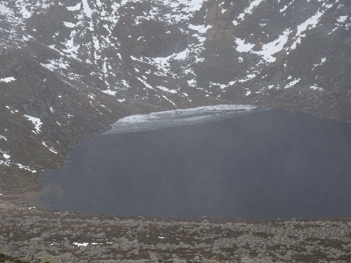
Last of the ice pushed up to the top of the loch
Comments on this post
Got something to say? Leave a comment


