Melt-Freeze!
21st January 2024
Highly volatile weather systems at present – It’s getting hard to keep up with the changing scenarios. Mild overnight then precipitation turned to snow initially above 600 metres, later above 900 metres, and then higher as the freezing level continued to rise during the afternoon. Windslab had formed above 900 metres and drifting was occurring this morning. All change this evening as Storm Isha arrives with the freezing level spiking up to 1900 metres. This spike will be accompanied by rainfall which is going to further destabilise the fresh windslab. Cornices will also be prone to collapse threatening the slopes below.
It’s not all bad news through as the freezing level is going to lower fairly steadily overnight, to reach around 700 metres by daylight. Further snowfall has been forecast and fresh windslab will form. It looks like the next 48 hours will remain very unsettled with further fluctuations of the freezing level.
No visibility on the hill again today….
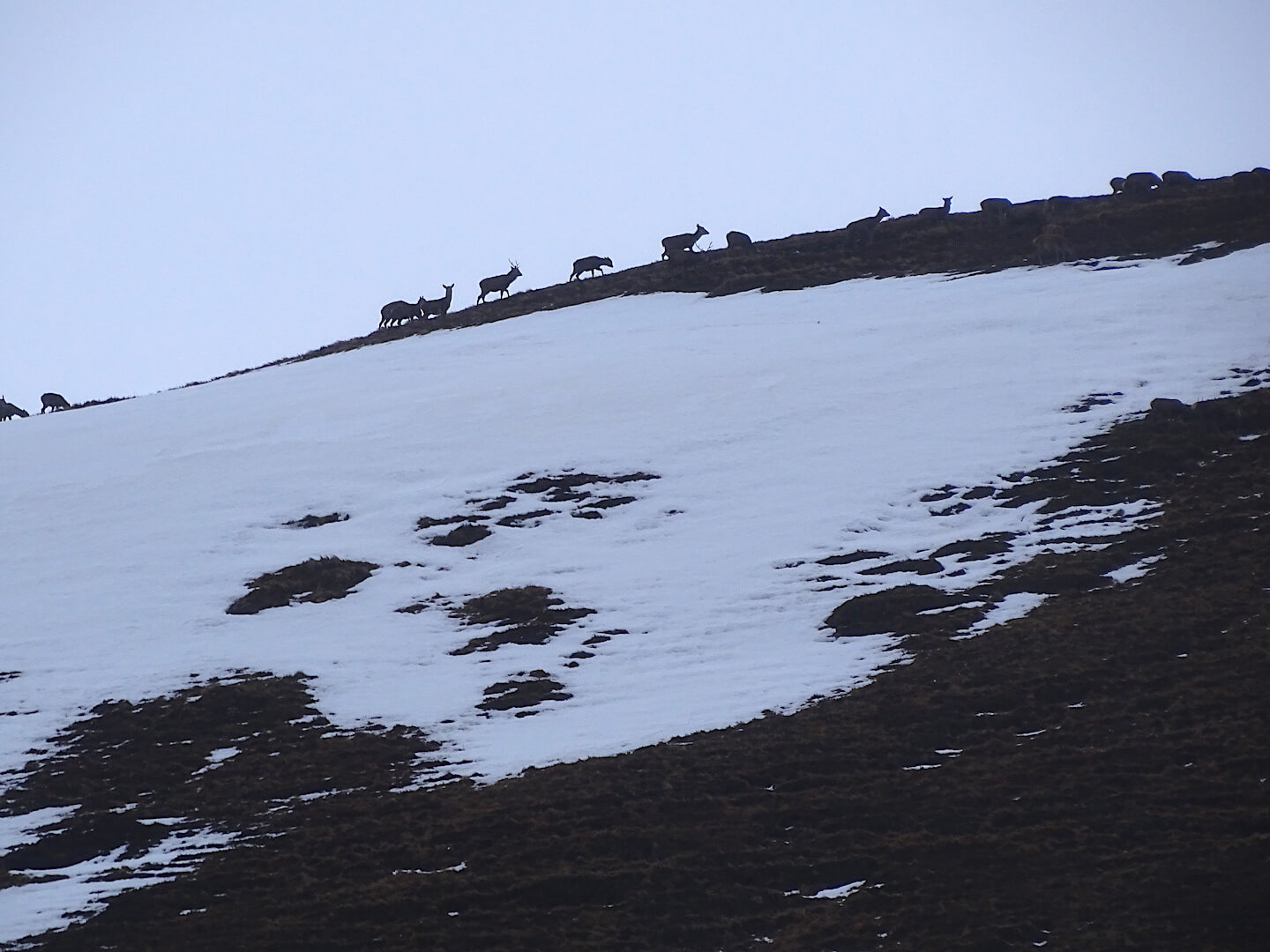
Red deer on the skyline – will be heading down as the storm approaches
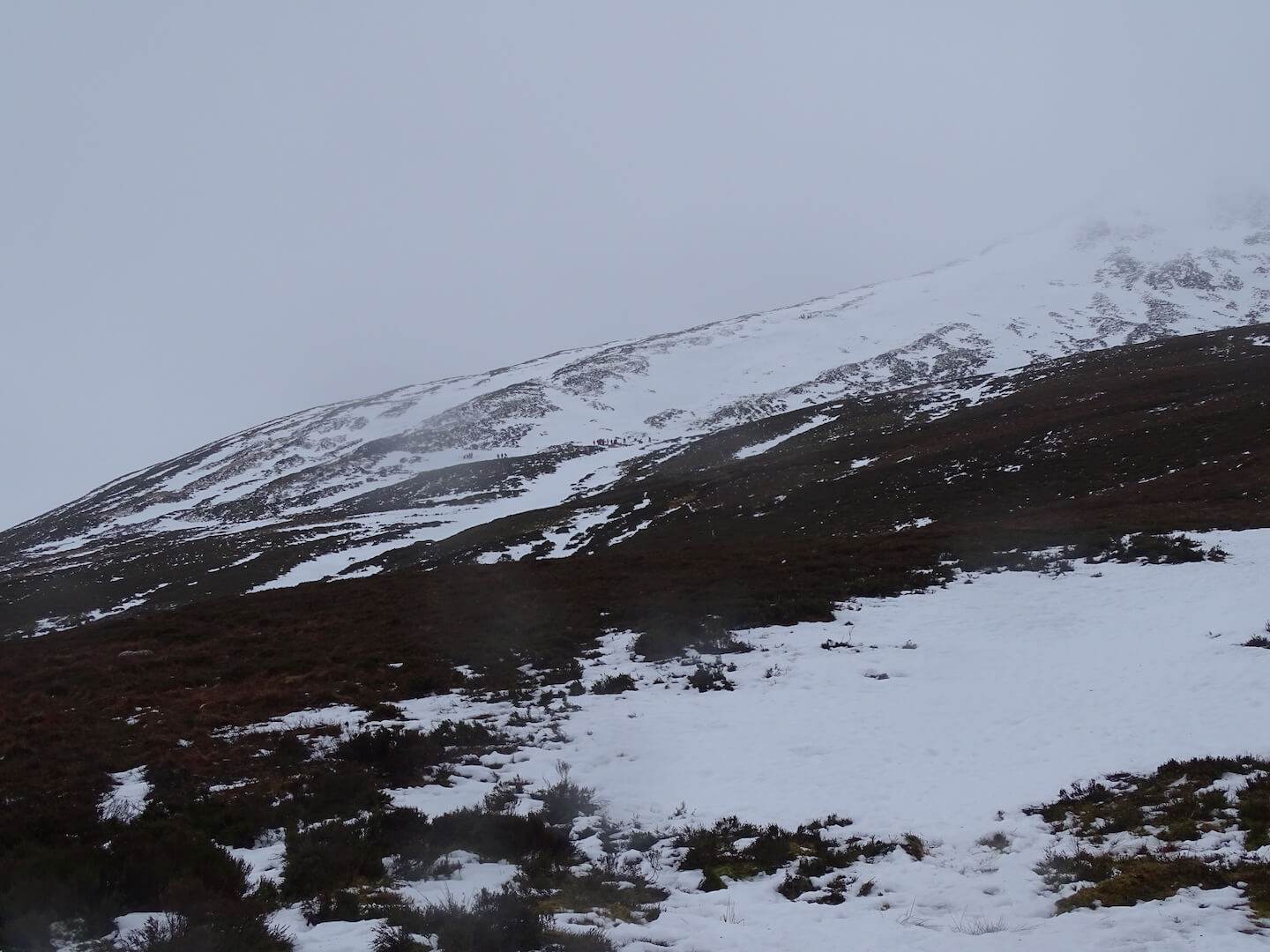
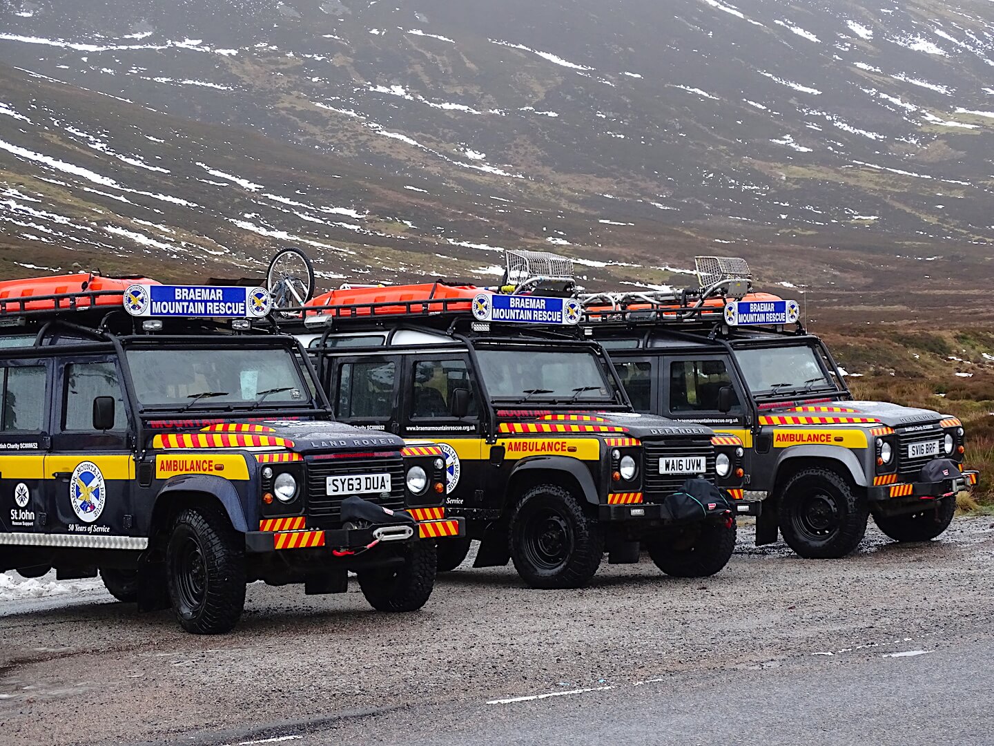
Snow loss overnight. Patchy at lower elevations. Spot Braemar MR Team out training
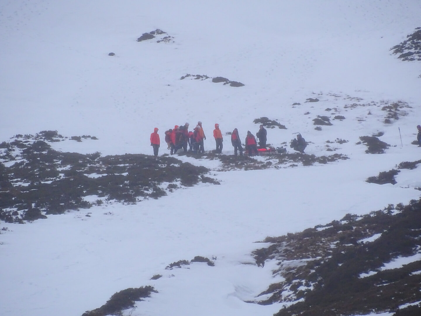
BBC filming Braemar MR Team today
Overnight thaw significantly reduced the snow cover – Very patchy snow below 700 metres.
Comments on this post
Got something to say? Leave a comment


