A mixed day.
28th December 2023
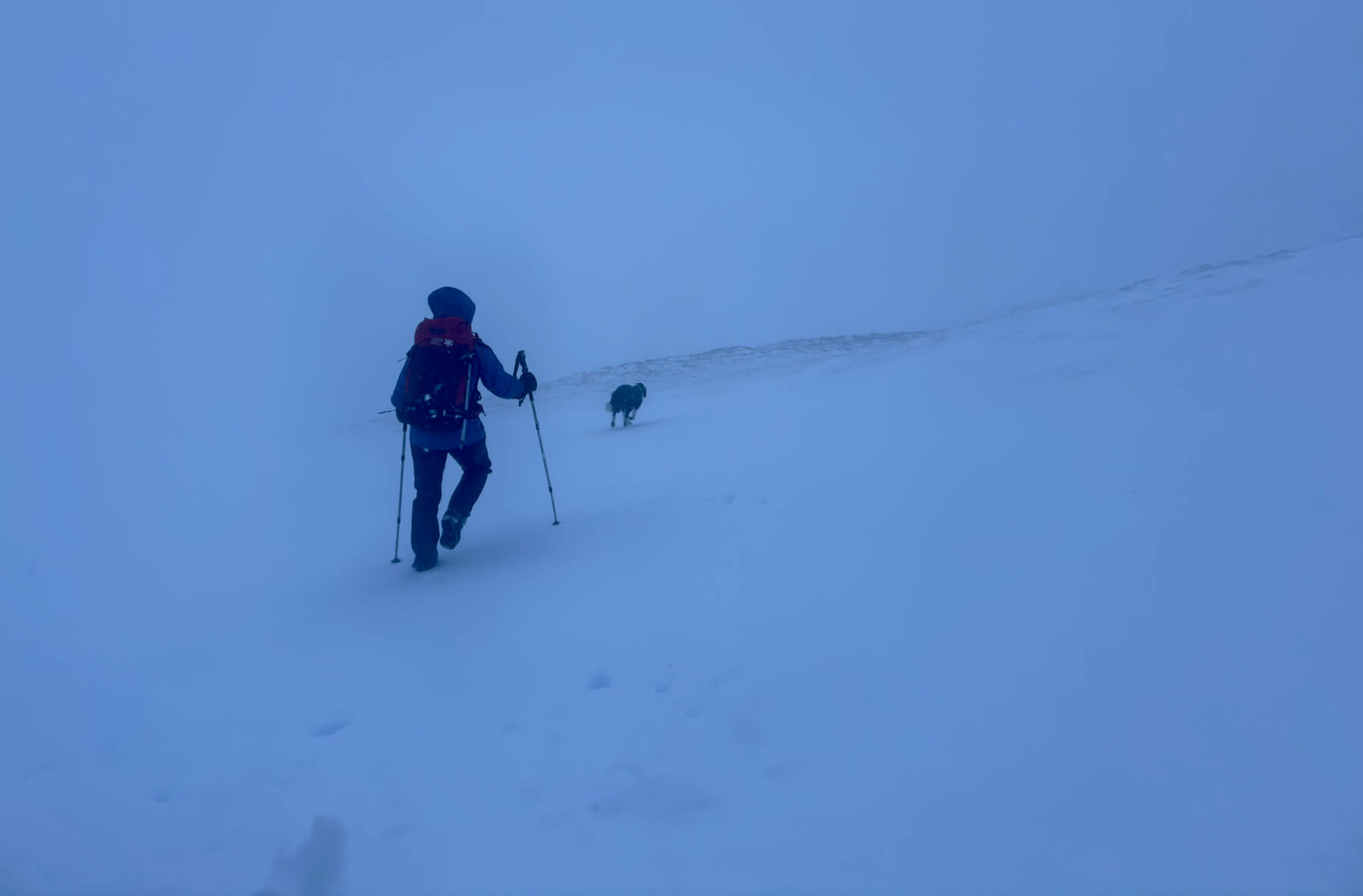
It was a mild start at lower levels with the freezing level around 800 metres this morning. When we set off it was a mix of rain and sleet before turning to snow late morning. Snow cover is generally good above 700 metres on sheltered aspects but bare where exposed to yesterday’s winds.
Avalanche crown walls and debris from yesterday were noted on Northerly aspects.
Deep snow in places with wind exposed terrain scoured.

Rain turning to snow late morning around 850 metres.
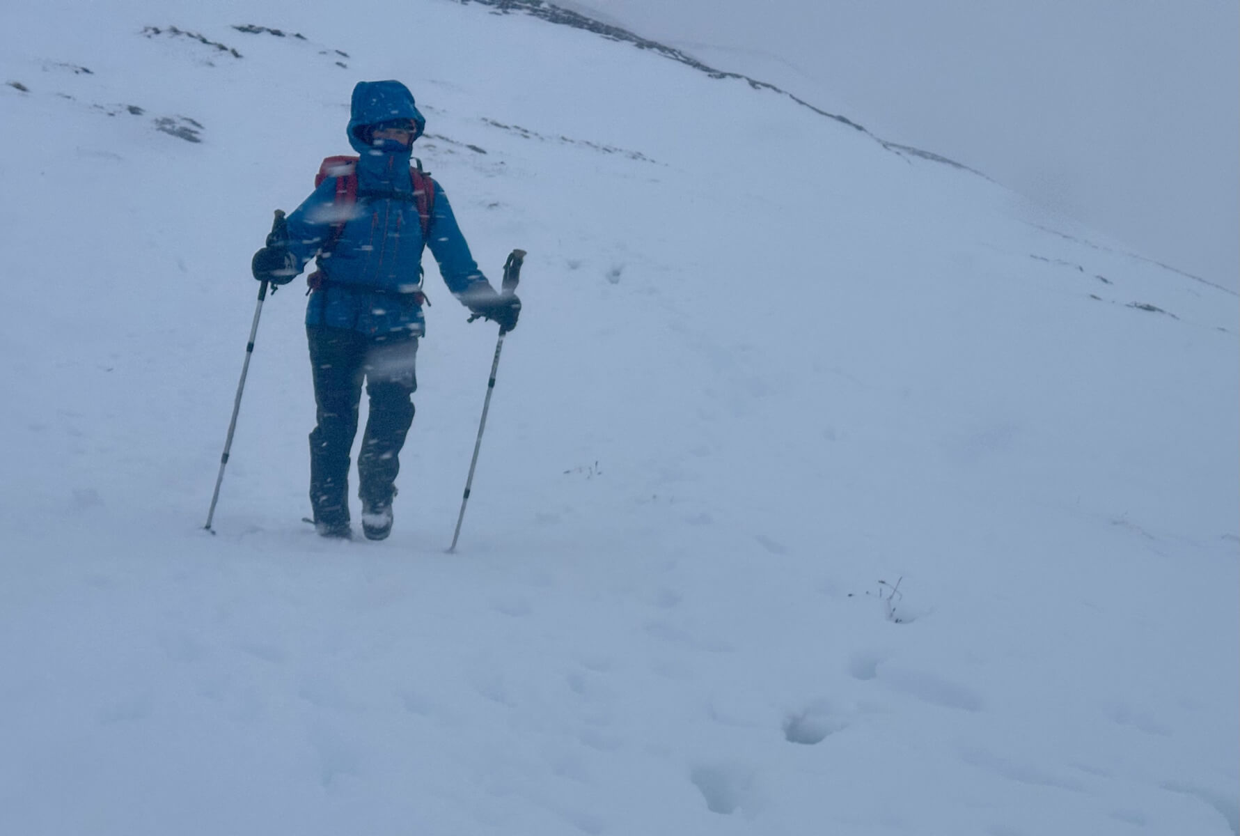
Most of the snow cover is from Storm Gerrit but there were reasonable snow showers at times today.
Comments on this post
Got something to say? Leave a comment