Winter Wake-Up!
12th April 2023
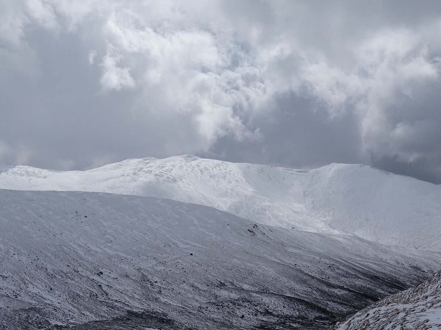
Well that was a bit of a shock to the system! Goggles on, drifting snow, impossible to see your thermometer, crystal card, record book due to snow getting dumped on them… Where yesterday there was heather, today there is snow – But only in wind sheltered locations. Snowfall overnight down to around 800 metres, then snow showers today down to 600 metres. Over knee deep drifts above 850 metres. The distribution is really localised and the snow has only accumulated where it could drop out of the wind – so steeper, or really well sheltered locations. Where it has accumulated, it is deep. Starting to consolidate around the 850/900 metre mark, but less so at the higher elevations.
Some uncertainty about the new snow amounts this evening – It could be 5-10cm but if the showers merge there is a small possibility that it will be 20cm. Winds are easing so the drifting will not be as significant as today.
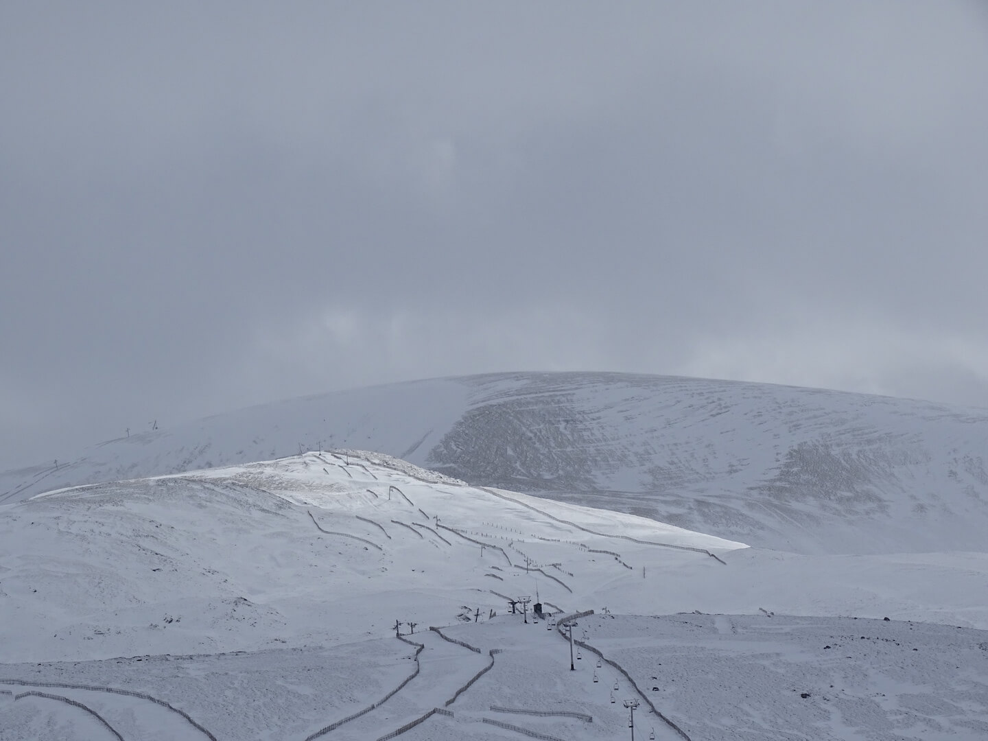
Poor visibility for photography above 900 metres today but a break in the showers at lower elevations this afternoon…

No snow here yesterday…
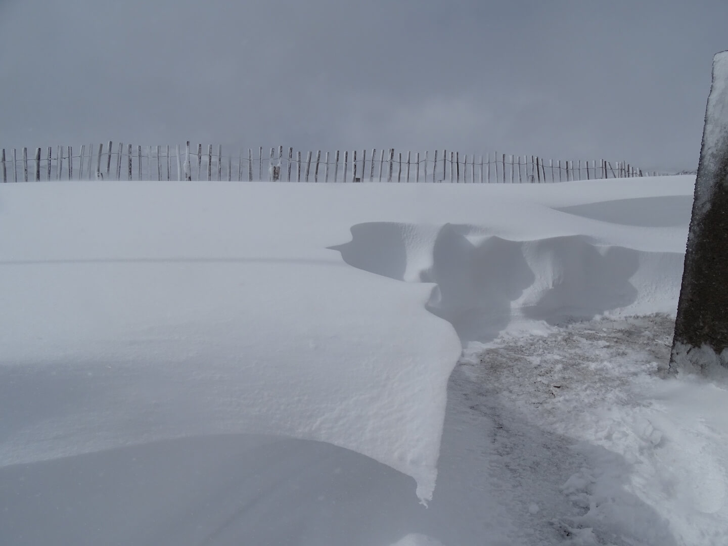
Snow fences doing their job, creating shelter for the snow to accumulate behind.
Strong winds stripped exposed slopes and only released snow into the most sheltered locations.
Break in the showers during the afternoon. Distribution of new accumulations is limited to wind sheltered locations mostly above 850m.
Comments on this post
Got something to say? Leave a comment


