Overnight Snowfall
1st February 2023
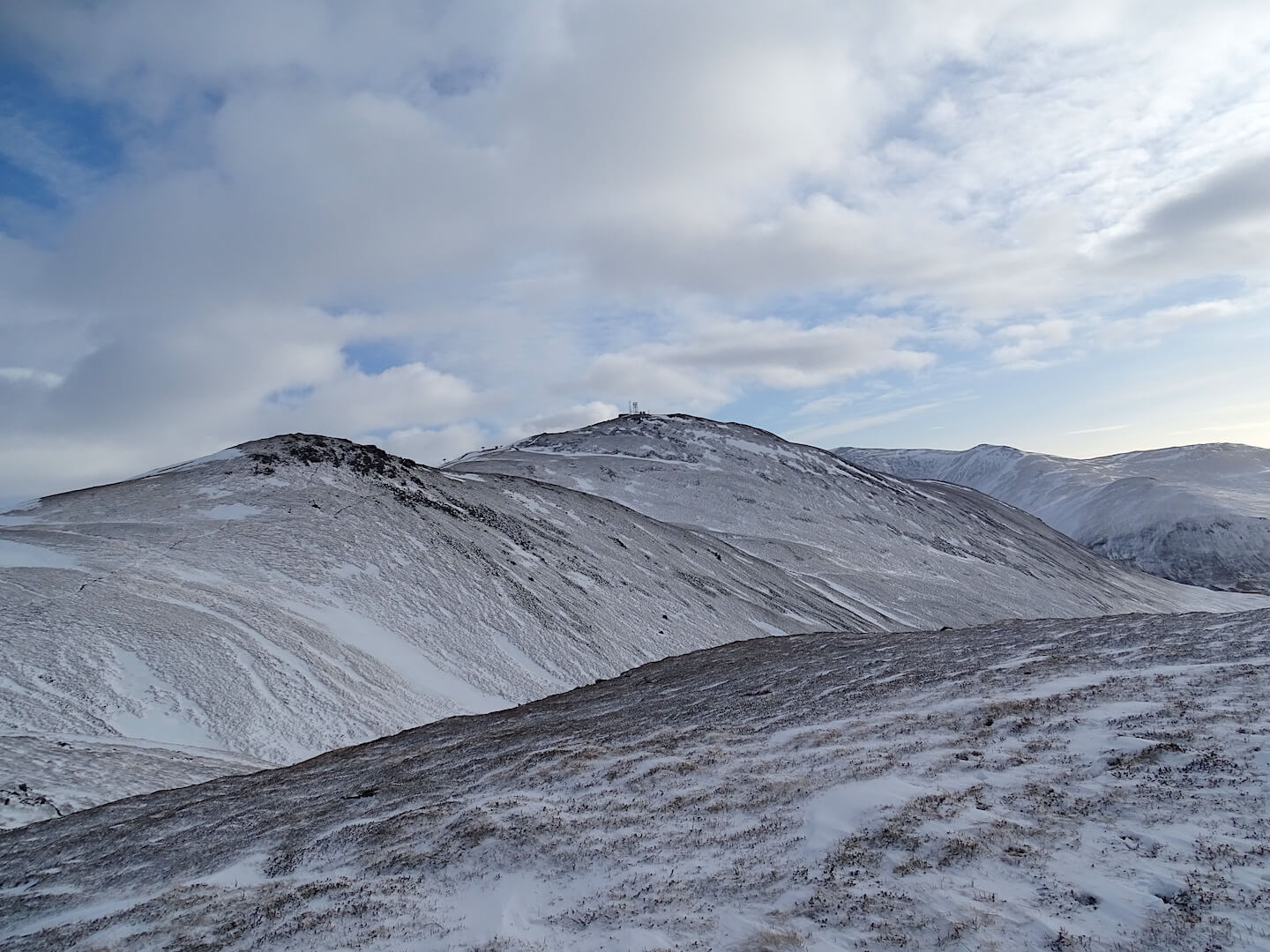
It was a dry and bright day with a cold wind chill. Overnight snow briefly closed the A93 this morning but it didn’t take long before the piste skiers were up enjoying the fresh snow on a firm base. The snow came down in quite strong Westerly winds and many areas have been stripped of snow, with only the wind sheltering locations holding onto accumulations. These are quite deep in places and knee deep drifts were being encountered from around 750 metres. Deep drifts and no snow sit in very close proximity to each other and it is very possible to climb a gully on old snow-ice for the majority of the way, only to encounter deep windslab just at the very top.
Slightly milder conditions tomorrow with the freezing level going over the summits, but it shouldn’t be a devastating thaw. In fact we should see some steady consolidation taking place. It looks very changeable for the next 48 hours with the freezing level fluctuating rapidly.
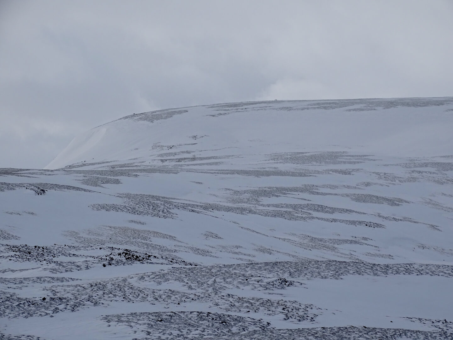
Westerly aspects and exposed locations are wind scoured.

Evidence of quite strong winds – eroded and sculptured snow.

Deep drifts and bare ground in close proximity.

Stripping and loading. Strong winds have stripped exposed locations and deposited snow in wind sheltered ones.

Deep snow in wind sheltered locations. This one is a ENE aspect at 900m.
Looking across to Carn a’Gheoidh
Comments on this post
Got something to say? Leave a comment


