It’s not over yet….
3rd April 2022
Complicated weather map for the next 48 hour period and beyond. Thaw conditions tonight and tomorrow morning – then the freezing level will start to lower and the light precipitation will gradually turn to sleet and snow on the highest summits only. Beyond that is a bit ‘messy’ and it’s probably worth keeping up with the Met Office mountain weather forecasts to find out where the fronts will move. There does seem to be consensus that more mountain snow can be expected this week – so don’t pack away your winter kit just yet.

Looking South from Glas Maol to Creag Leacach this morning.
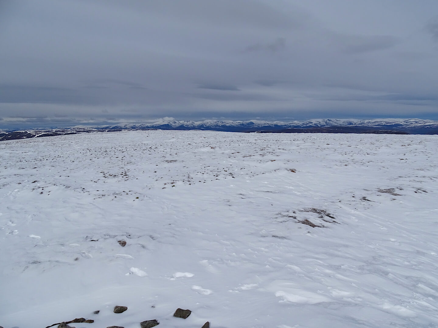
Soft shallow covering of snow on Glas Maol. Expecting a very different view by tomorrow after tonight’s thaw…
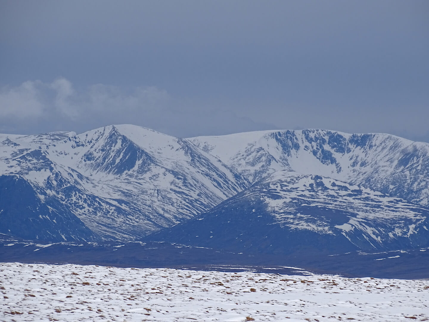
Ominous grey cloud building from the West
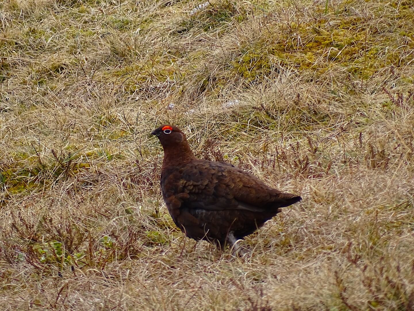
Strutting his stuff – his lady friend was close by…
Comments on this post
Got something to say? Leave a comment


